Location
Magallanes y de la Antártica Chilena,
CL
Distance
13 km
Vertical Gain
1,500 m
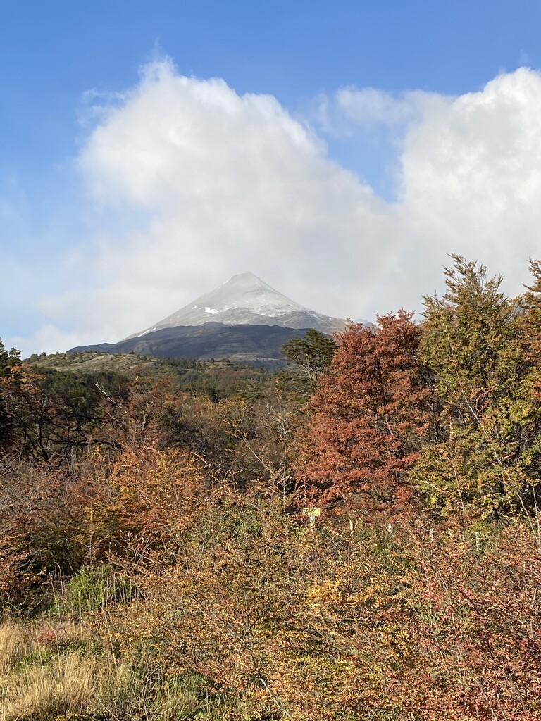
Description
GPS Track
activity_10974851551.gpx1.55 MB
FKTs
Male
| Chris Madrid | 3h 36m 20s |
Images