Route: Thorn Point Sespe Loop (CA)

Submitted by Petrol_prys on Sun, 05/02/2021 - 12:42am
Location
California, US
Distance
81 km
Vertical Gain
2,752 m
Description

This is a clockwise circular route starting and finishing at Piedra Blanca. Make sure you have an adventure pass to park. https://www.fs.usda.gov/recarea/lpnf/recarea/?recid=11010

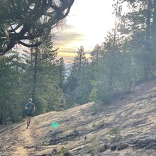
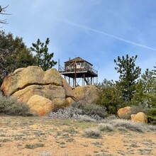
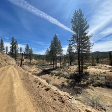
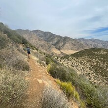
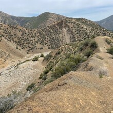
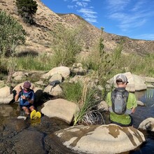
Take in some of the many wonderful sites and features from the Ojai and Mt Pinos ranger districts. Starting at Piedra Blanca head up the Gene Marshall trail before taking a break at Pine Mountain Lodge and then dropping down to Cedar creek before detouring through Thorn Medows to the historic Thorn Point (Highest Point of route).  Then follow the Piru Creek drainage towards Motatu Flat before dropping down the seemingly never ending Johnston Ridge to Sespe Hot Springs. Take care the water is Hot!  Return on the rolling middle Sespe trail that follows Sespe Creek back to the parking lot.

Bring plenty of snacks, your filter and watch the weather reports. Company recommended.

Sespe is one of the last wild rivers in southern California and the wilderness is steeped in a rich tapestry of history from the Chumash who saught refuge in these lands to oil to condors and the last Grizzly bears.  This route covers the Ojai and Mt Pinos ranger districts and takes in some of the highest points and longest ridges to the hotest hot springs and returning next to the cooling waters of the Sespe. Truly a wonderful day out.

GPS Track