Route: Thurweg

Submitted by Florian_Amstad on Tue, 06/27/2023 - 08:07am
Location
Switzerland
Distance
161.7 km
Vertical Gain
1,850 m
Description

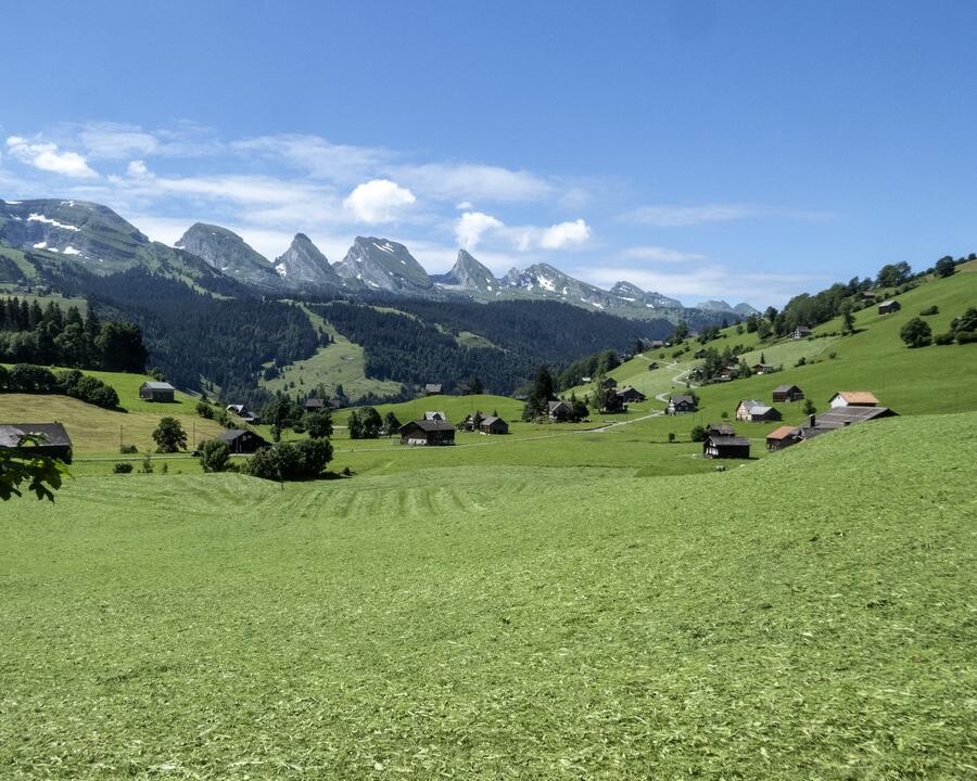
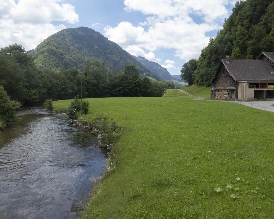
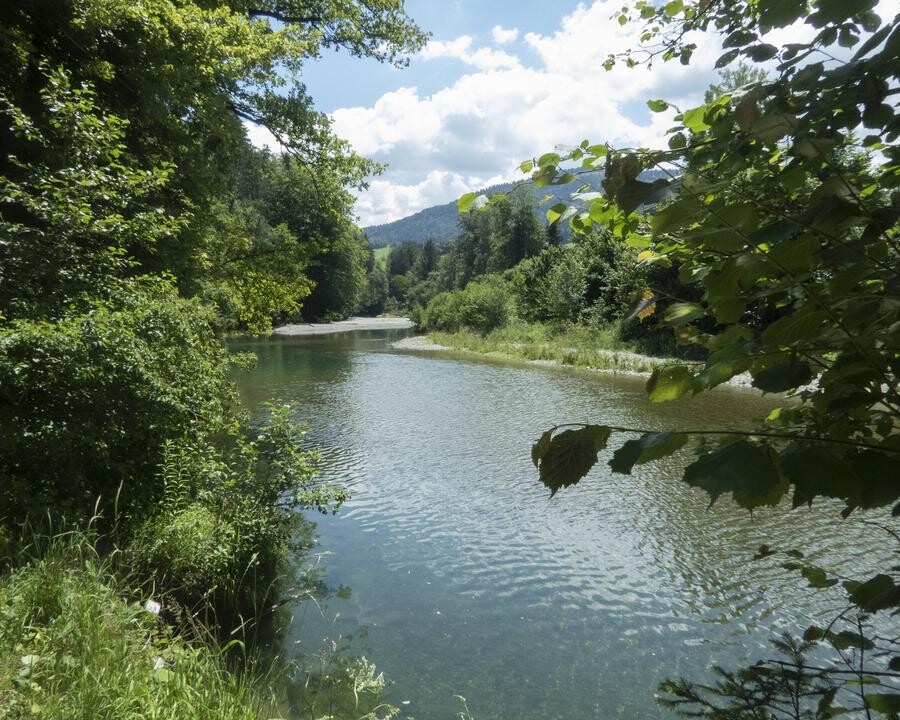
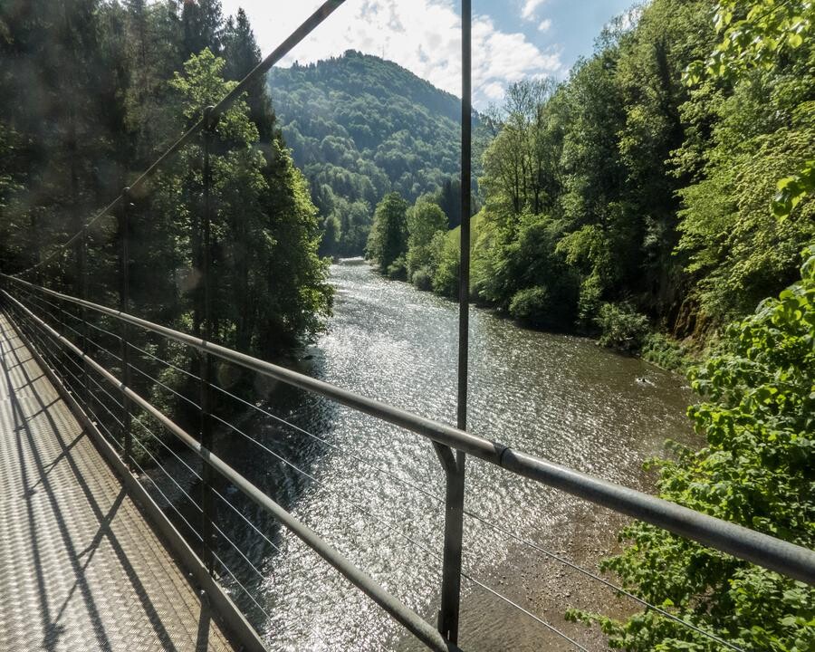
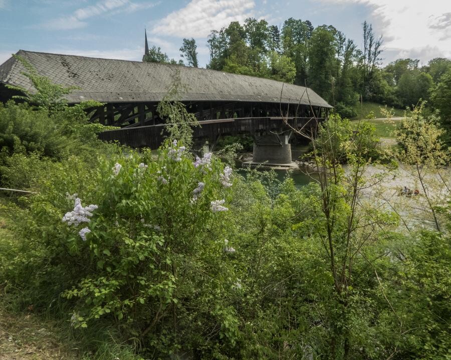
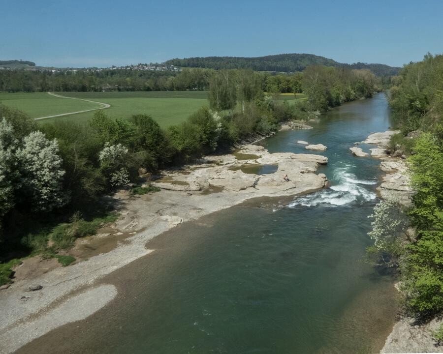
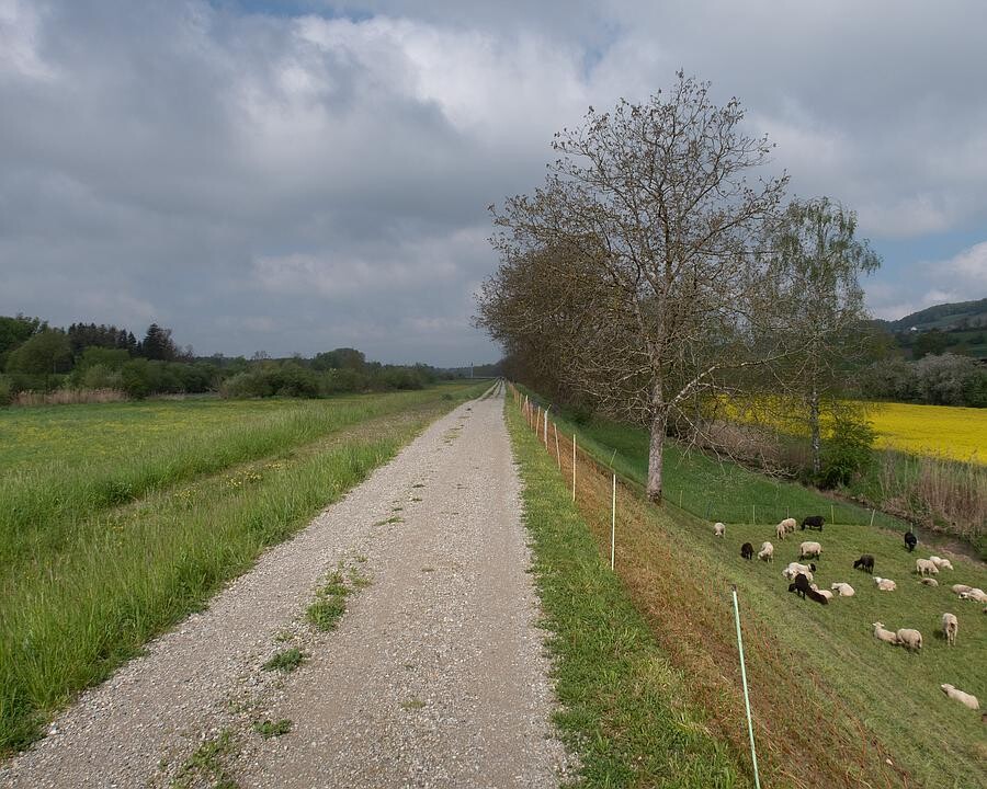
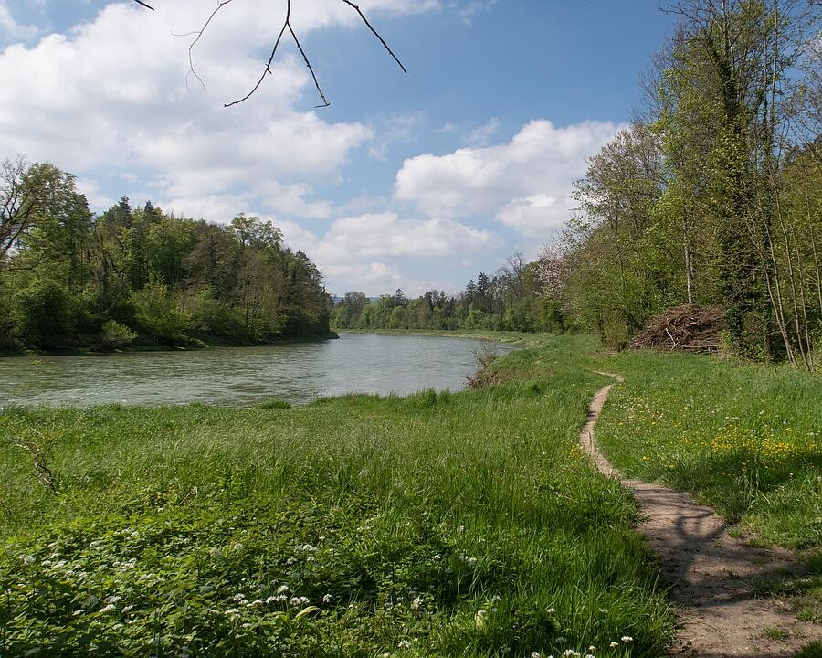
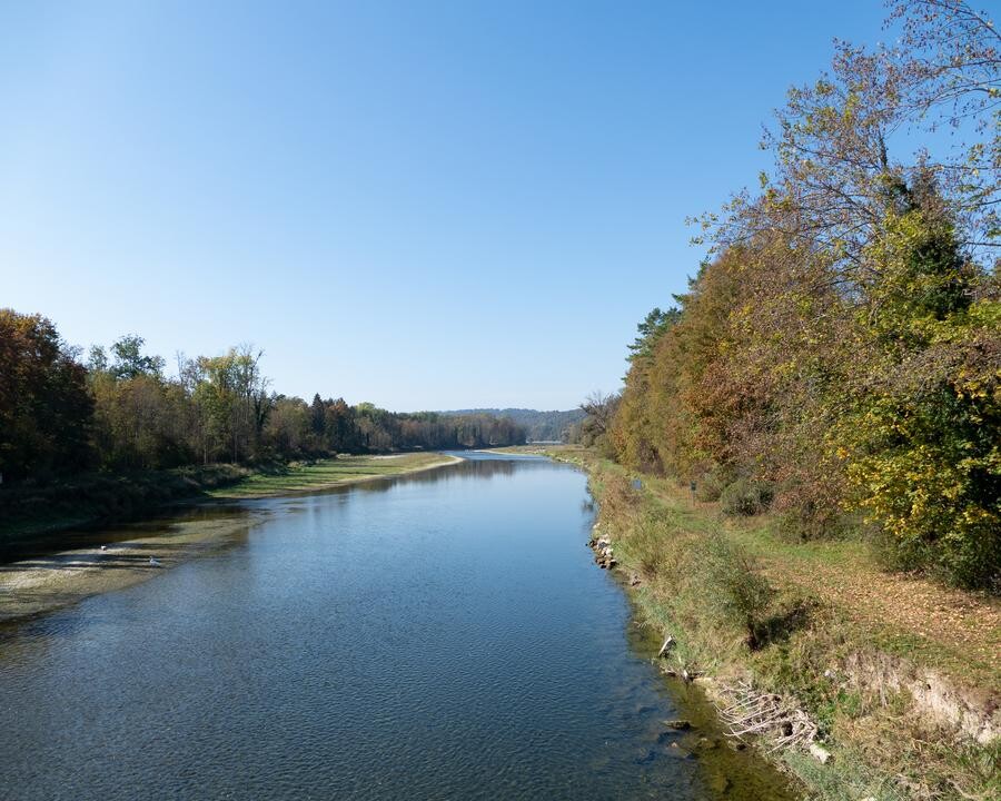
The regional route 24 "Thurweg" follows follows the Thur almost from the source on Mount Säntis, to Rüdlingen where the River flows into the Rhine. This FKT is done in either direction, starting at the cable car mountain station Gamplüt (Wildhaus) and finishing in Rüdlingen at the Trailhead, or reverse. The vertical gain is about 1850 meter and the loss is 2900 meter. 

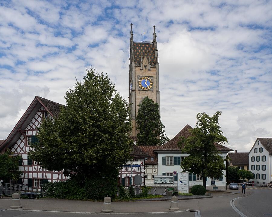
The route has six detours to train stations in the towns of Nesslau, Wattwil, Bischoffzell, Weinfelden, Frauenfeld and Andelfingen, which should not be abbreviated. You will need them to resupply with water or food (if you go self-supported). 

You can find a good description and map here: https://schweizmobil.ch/en/hiking-in-switzerland/route-24


GPS Track