Route: Timm's Hill National Trail (WI)

Submitted by Matthew Matta on Thu, 07/14/2022 - 03:10pm
Location
Wisconsin, US
Distance
9.1 mi
Vertical Gain
1,200 ft
Description

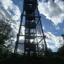
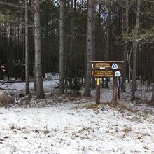
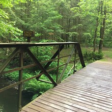
Timm’s Hill is the highest point in the state of Wisconsin. At 1951’ it’s one of the shorter state high points but still offers a great view from the wooden lookout tower. You can drive close to the tower but the Timm’s Hill National Trail provides a connecting spur from the tower to the much longer Ice Age Trail. The trail is 9.1 miles long with 1200’ of elevation gain going north (‘uphill’). It’s not a particularly busy trail, but it is part of the National Trails System and offers a nice path through lakes, streams, hills and a glacial esker.

In places the trail offers a summer option and a winter cross country ski option, usually in an attempt to take out some of the steeper hills for the skiers The route described here is the summer version. From September through December the southern 2.5 miles are closed for hunting. Most of the trail runs through private property, please respect the landowners.

https://co.price.wi.us/facilities/facility/details/timmshillnationaltrail-66

https://www.summitpost.org/timms-hill/154441

GPS Track