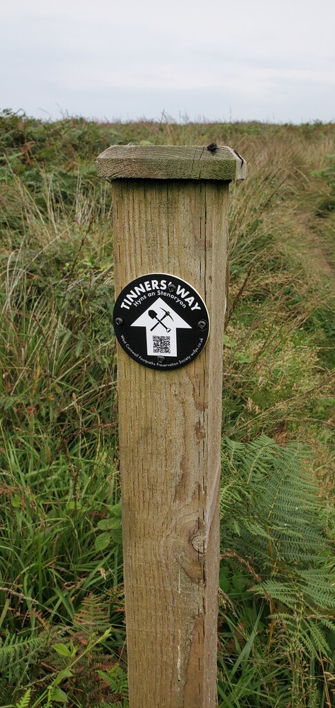
The route of the Tinners' Way runs along the watershed ridge of the Penwith Moors. An ancient way from St Just to St Ives, it's recently (2025) been waymarked and is, for the most part, very runnable*..... if you've got the legs ;)
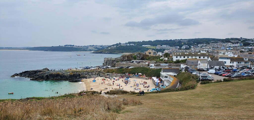
The official guide https://www.penwithlandscape.org.uk/trails-and-ancient-sites/a-guide-to-the-tinners-way/ gives several options for the start point - I chose the iconic one - the top of Cape Cornwall. The FKT route starts at the chimney atop the Cape and ends at the Coastguard Lookout Station on The Island at St Ives.
The waymarking is excellent for most of the route but you'll need to have the GPX on your phone or watch for the start. I followed the 'official alternative' route at the beginning, and all the paths are obvious, but this part is not waymarked, giving plenty of opportunity for wrong turns; I was a good 6 miles in before I actually spotted any waymarkers.
The 17/17a bus runs about every 30 minutes from St Ives to St Just via Penzance, making this a great option for a one way run, maybe followed by a pint and a pasty in St Ives before catching the bus back to your starting point - that works in reverse too if you prefer running south!
*I appreciate that's a relative thing. It's a trail run and some of it is a bit technical. It's not all gravel roads(!) there was a little bushwhacking** but, compared to the coast path, it's mostly very runnable!
**talking of which, I really don't advise taking the alternative northern route through Chun Castle. Every time I've been there it's so overgrown with brambles and nettles it's only passable with considerable pain and blood loss - and that with long hiking trousers and boots on!