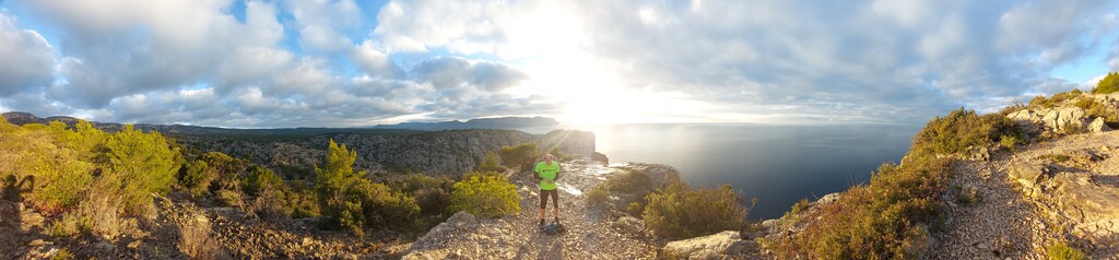
This round tour with a length of 42 km captures the complete Eastern half of National Park (NP) Les Calanques. It starts and ends on the beach of Cassis, called Plage du Bestouan. The views throughout the complete tour are spectacular.
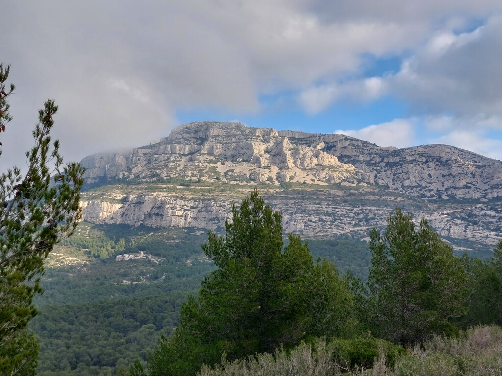
The trail follows the coastal line to the West via the world famous Calanques of Port-Miou, d’En-Vau, Sugiton, Morgiou and Sormiou. These cliffs are amongst the most beautiful in Europe. From the Port de Sormiou the trail bends to the North via the red marked trail. From Col des Baumettes the trail heads back to the East around the Northern side of mountain (and highest point) Mont Puget.
The trail follows only marked trails including GR51. It is highly recommended to run this route only if you have substantial experience with walking and running in mountains. Because tripping over a tree root or rock can be fatal on some sections of the route. Please note that the lack of fresh water in NP Les Calanques can become quite challenging. One could consider including a small detour to the parking of university Luminy that has a public drinking water tap point.