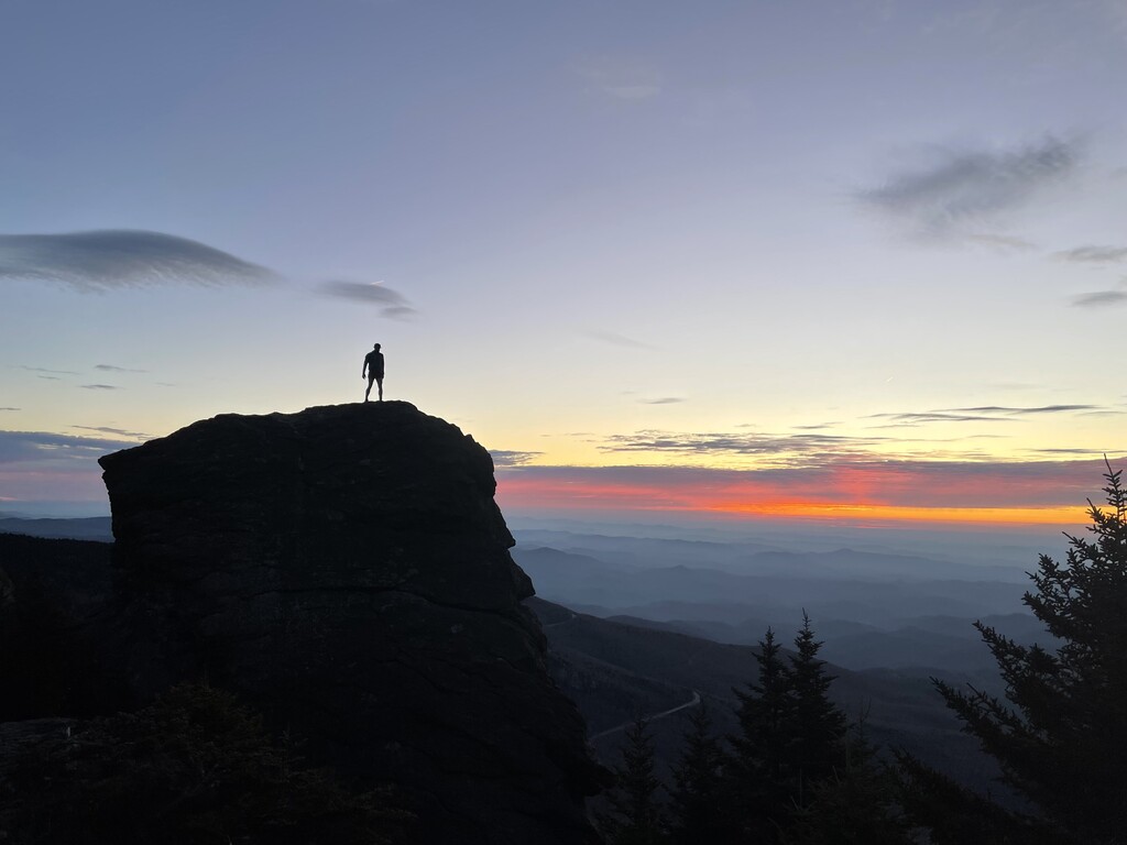
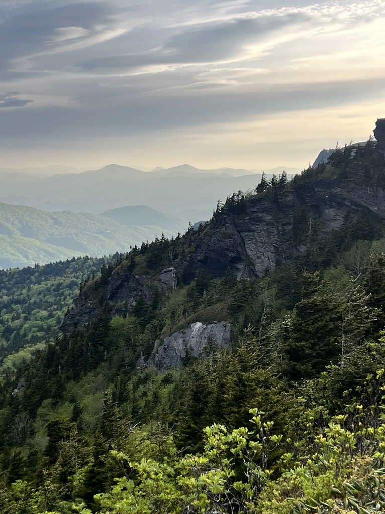
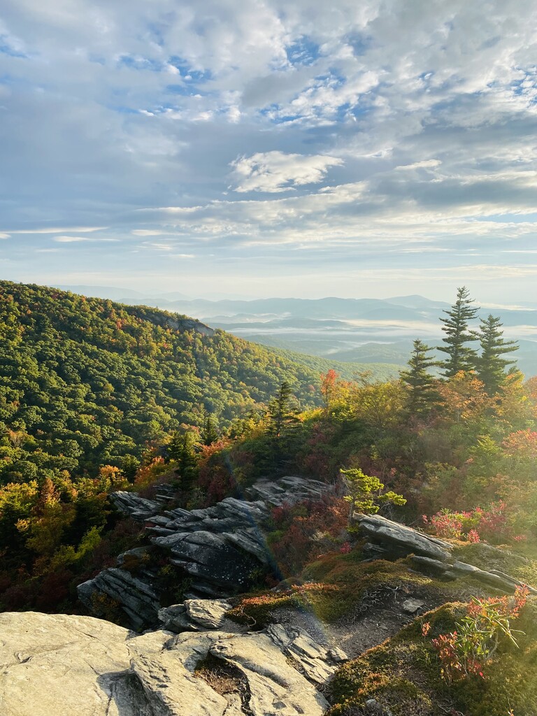
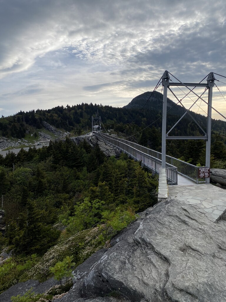
Grandfather Mountain is located in northwest North Carolina and is designated as an UNESCO international biosphere reserve, with sixteen distinct ecological habitats. It contains 80 species of amphibians and reptiles, 175 species of terrestrial birds, 65 species of mammals, 2,250 species of vascular plants and possibly as many as 25,000 species of invertebrates. In addition to its biological significance, it is the highest peak on the Blue Ridge Escarpment at 5,946 ft and offers outstanding views of the Linville Gorge, the Roan Highlands, and the Black Mountains (containing Mt Mitchell ~ highest peak on the east coast). The route starts and ends at the Profile Trailhead parking lot located off of Hwy 105, once all the following trails have been "ran" in their entirety (route chosen by runner):
- Profile Trail
- Profile Trail Connector
- Grandfather Trail
- Underwood Trail
- Grandfather Trail Extension
- Black Rock Trail
- Bridge Trail (End of Mile High Swinging Bridge)
- Daniel Boone Scout Trail
- Nuwati Trail (Storytellers Rock)
- Cragway Trail
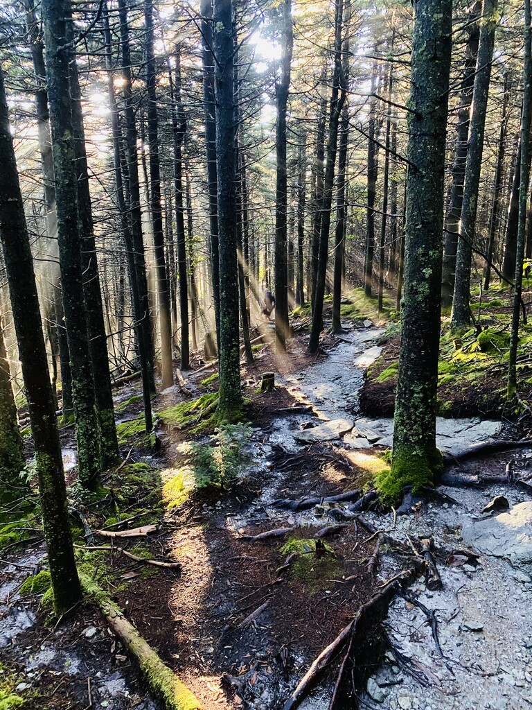
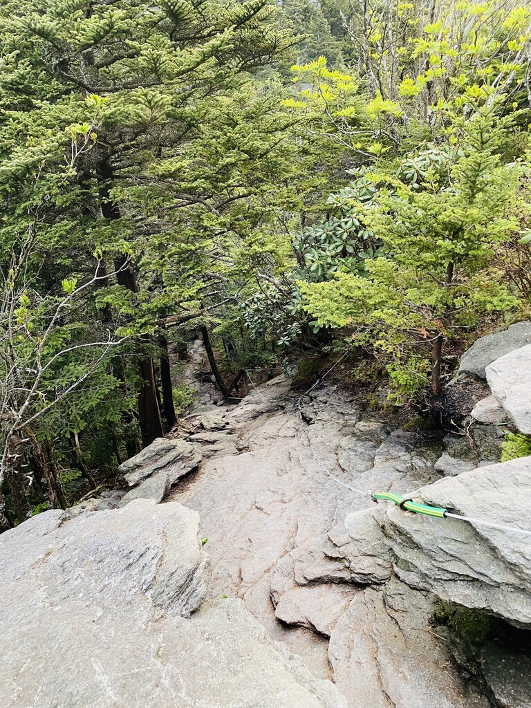
Mileage and elevation gain may differ based on route planned, however all attempts must start and finish at the Profile Trailhead. Off-shoot trails to camping sites and points-of-interest are not included. The Tanawha trail may be used to connect the Nuwati and Daniel Boone Scout Trail sections (.2 mile). This route is almost entirely single-track with sections of rock scrambling. Have fun, be safe, and respect the mountain!