Location
North Carolina,
US
Distance
26.3 km
Vertical Gain
5,400 ft
Description
GPS Track
FKTs
Male
Female
| Foster Ramsey | 4h 12m 13s |
| Luke Warner | 5h 13m 42s |
| Ashley Goodman | 6h 31m 48s |
| Ashley Goodman | 7h 6m 49s |
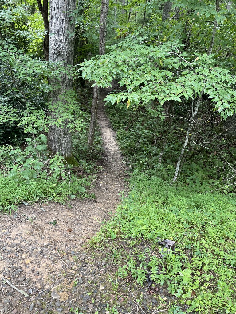
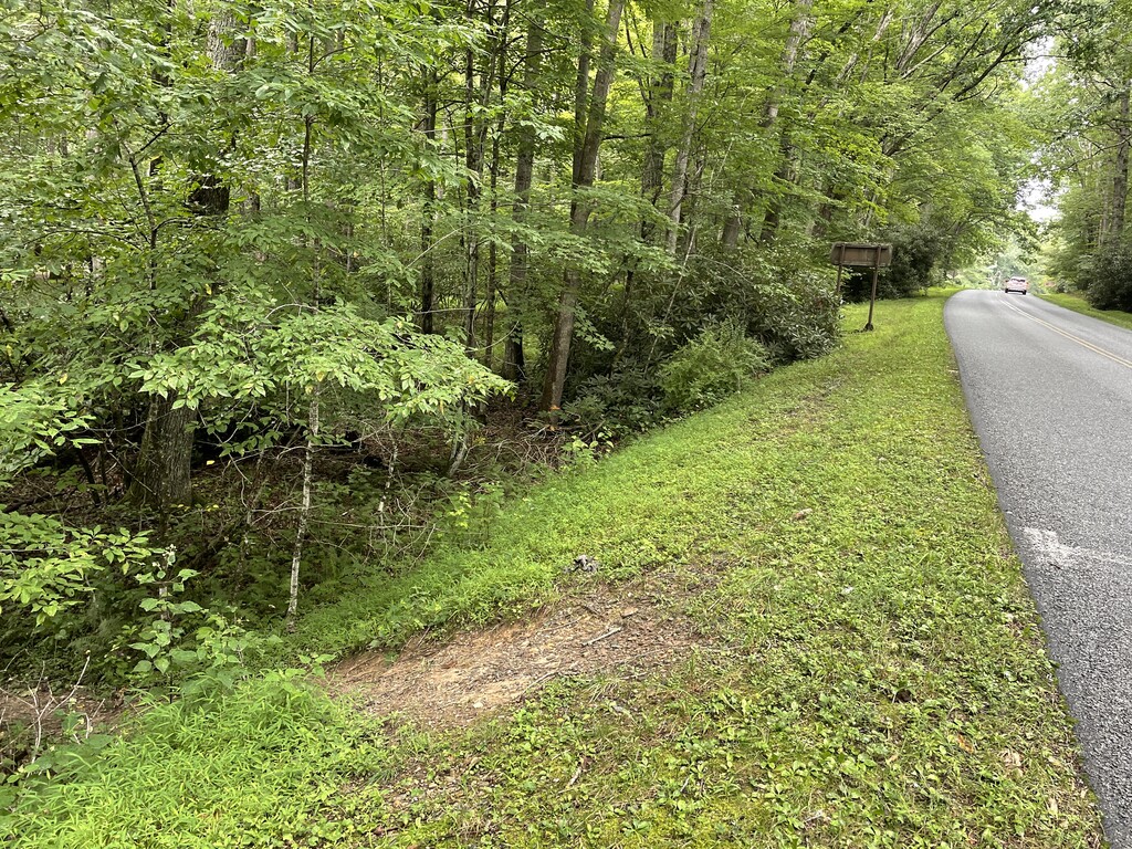
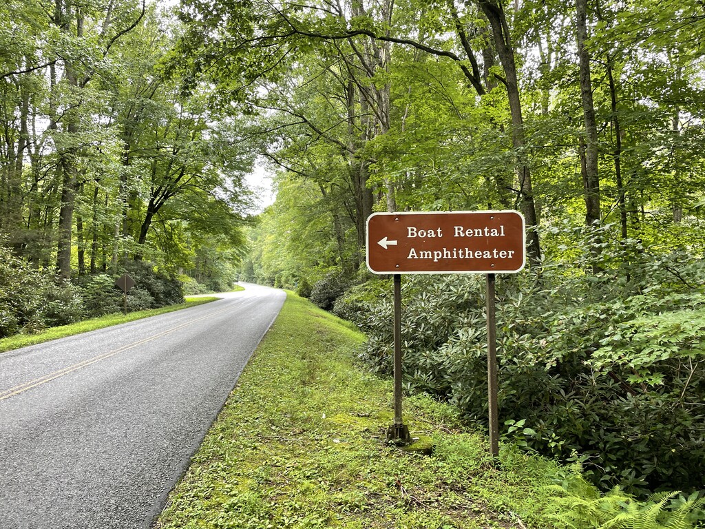
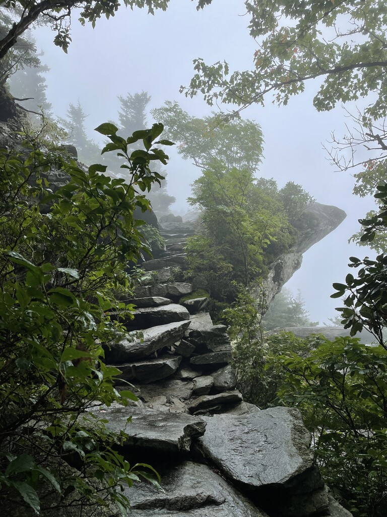
Images