Tour of the Trient Valley / Tour de la Vallée du Trient
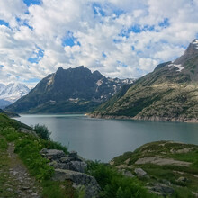
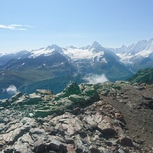
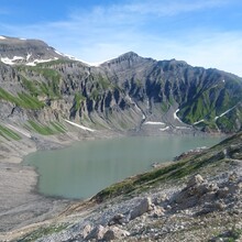
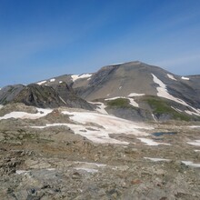
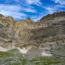
This route is a hiking loop that is usually done over 5 days. It crosses the border between through Switzerland and France and gives stunning views over the Trient massif, the Mont Blanc massif, the Dents du Midi, the gorges of Trient, and the Salanfe and Emosson dams/lakes. The routes meets with ~10 mountain huts or villages which gives plenty of options for a multiday trip or for resupply if needed.
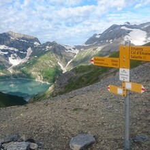
The route is not signposted as such, but the trails are easily navigated by following signs to the intermediate destinations. Multiple references online and a paper map do exist and have very slight variations. Here are a few of the choices that were made for the route proposed on this page (described in counter-clockwise direction).
- Van d'en Haut: use the hiker's path (on the right after the campground), not the jeep road.
- At the foot of the Salanfe dam: use the side trail to go directly left of the dam wall. This is a small trail that is not signposted but avoids the detour through the Salanfe hut if you don't need to stay or reupply there.
- Vieux Emosson: follow the road (which goes to the hut then to the right of the dam wall).
- Vallorcine to Col des Posettes: follow the hikers' signs to "Col des Posettes". Once you reach the gravel road there are a few switchbacks that can be avoided by following a hiking trail.
- Mont de l'Arpille: no need to tag the exact Arpille summit (which is about 100m off the trail).
- After La Creta, follow the gravel road in direction of Guetroz for about 3km before turning left on a gravel road down to the river.
These are the easy access points from where to start/end the loop. All are accessible by public transport.
- Salvan
- Lac d'Emosson
- Vallorcine
- Col de la Forclaz
https://www.valleedutrient.ch/en/tour-of-the-trient-valley-fp334

