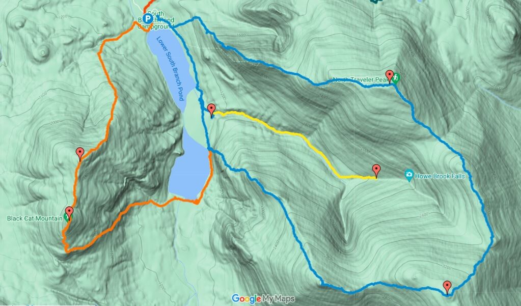
Location
Maine,
US
Distance
13.4 mi
Vertical Gain
5,800 ft
Description
GPS Track
Baxter-Traveler.gpx641.66 KB
FKTs
Male
Mixed-gender team
Female
| Nigel Bates | 3h 29m 18s | ||||
| Bryan Gagner | 4h 23m 45s |
| Shannon Corliss, Nathan Rutenbeck | 5h 14m 17s |
| Erin O'Toole | 6h 8m 5s | ||||
| Sarah Cary | 6h 40m 52s |
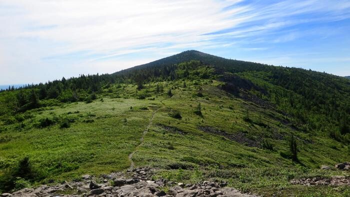
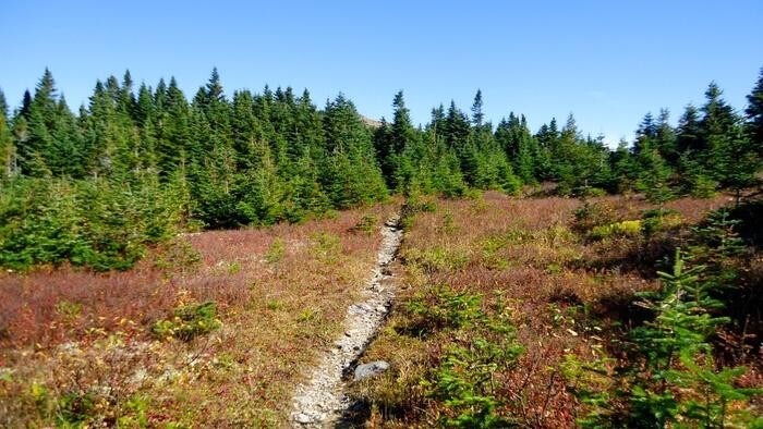
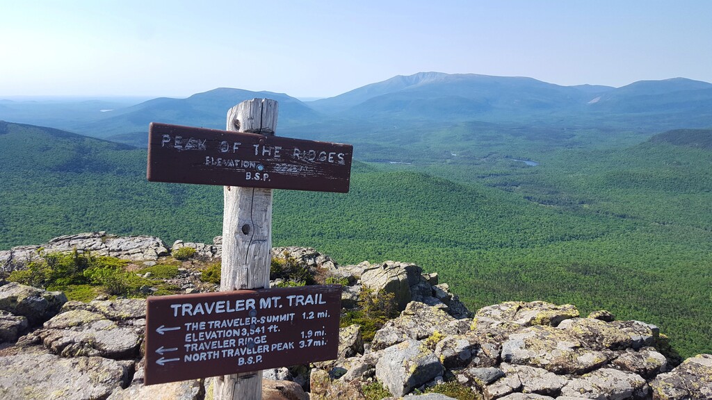
Images


This route on the old FKT site