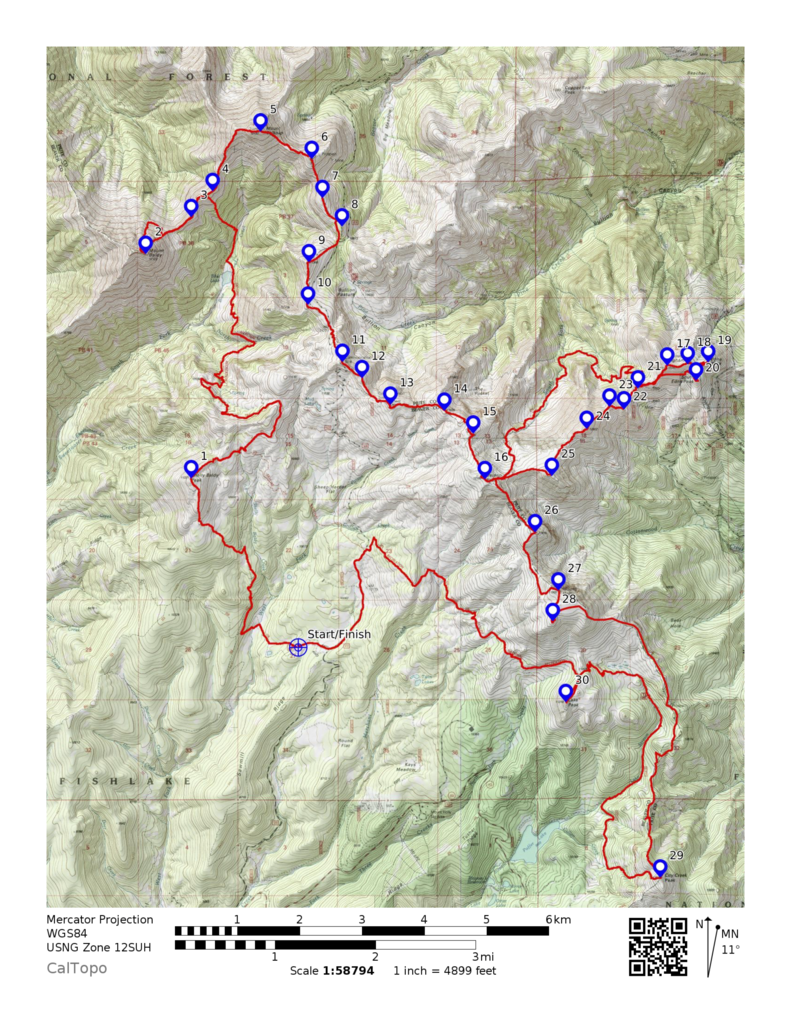
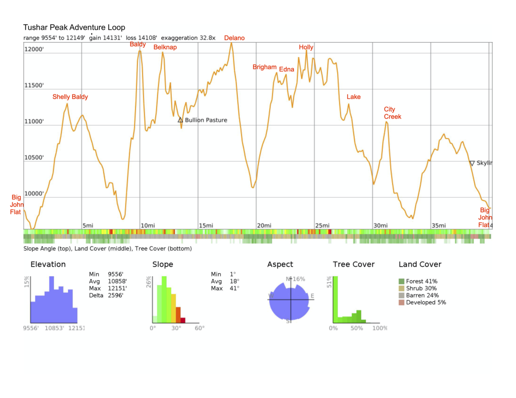
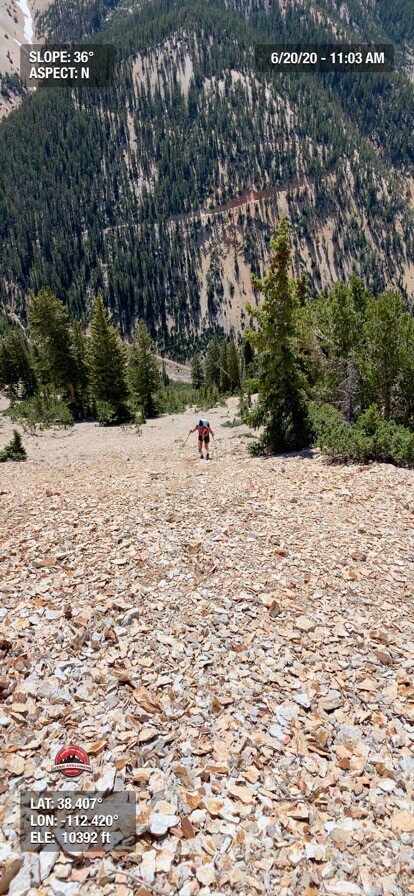
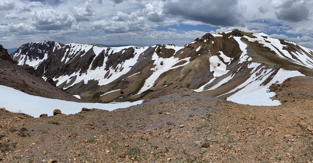
I have been working on this loop since 2015. The Tushar Mountains are the third highest mountain range in Utah and contain numerous peaks over 11,000’ and 12,000’. Most of the users in the range are motorized and horse users so the trails are very quiet. The goal of this route is to connect the highest peaks and topographic high points of the Tushar Mountain Range into a loop. This linked up with 30 points across the range with Shelly Baldy and Lake Peak being the peaks defining the 2 ends of the route. The established route is ~55% off-trail. When on trail, the route utilizes the Skyline National Recreation Trail when possible. The motivation for this route was to create a challenging loop in a mountain range that does not see a lot of non-motorized traffic. The route could be started from a variety of locations. We started at Big John Flat. Puffer Lake is another good starting option.
Several things make this a unique route
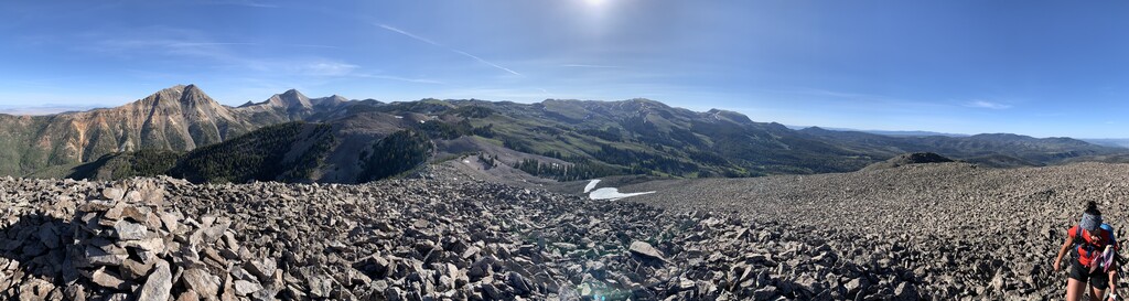
- It is a true mountain run with steep climbs, miles of talus and scree, scrambling, long rolling ridges, and fast runnable trail.
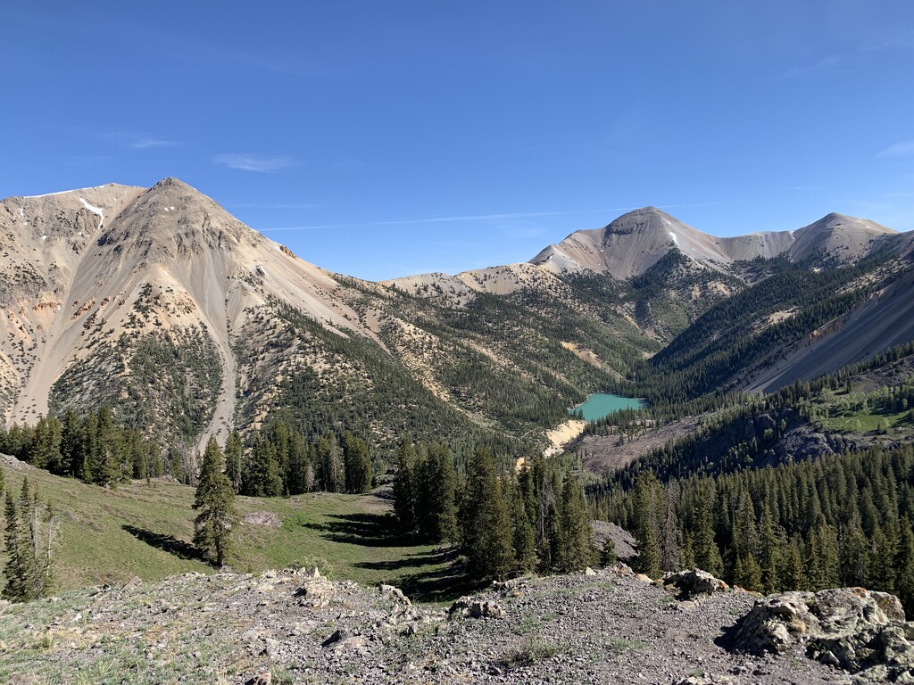
- Water is scarce. You need to time your run late enough for sections to be snow-free, but early enough to still have snow for water. There are limited water sources once the snow melts.
- Navigation skills to find the best route across off-trail sections.
- High elevation: the trail stays above 11,000’ a significant amount of time.
Caltopo maps the route at 41 miles and just over 14,000' of ascent, but our run of this was just under 43 miles and just over 16,000' ascent.