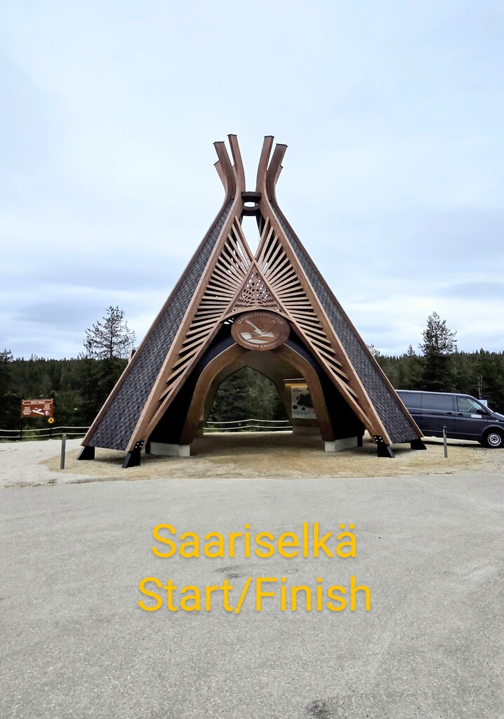
Urho Kekkosen Kansallispuisto (UKK) was the second most visited Finnish national park in 2023, with an estimated 417 600 visits. We used Saariselkä as the hub for this FKT because of easy access by public transport and a wide range of services in the area. In 2023, UKK celebrated its 40th anniversary and a gate to the national park was constructed, serving as a good starting/finishing point. As the route is circular, the FKT could in principle be started from anywhere, but the only other place with road access is Kiilopää, 10 km south of Saariselkä.
Highlights along the route
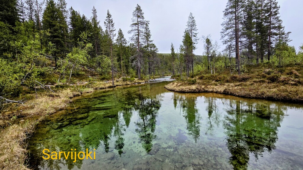
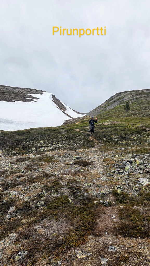
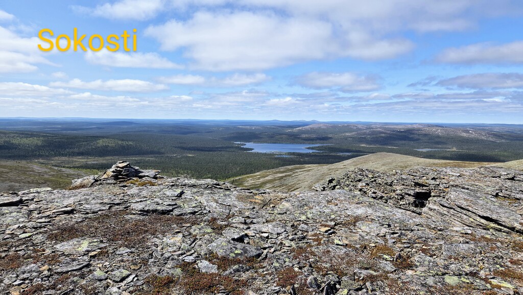
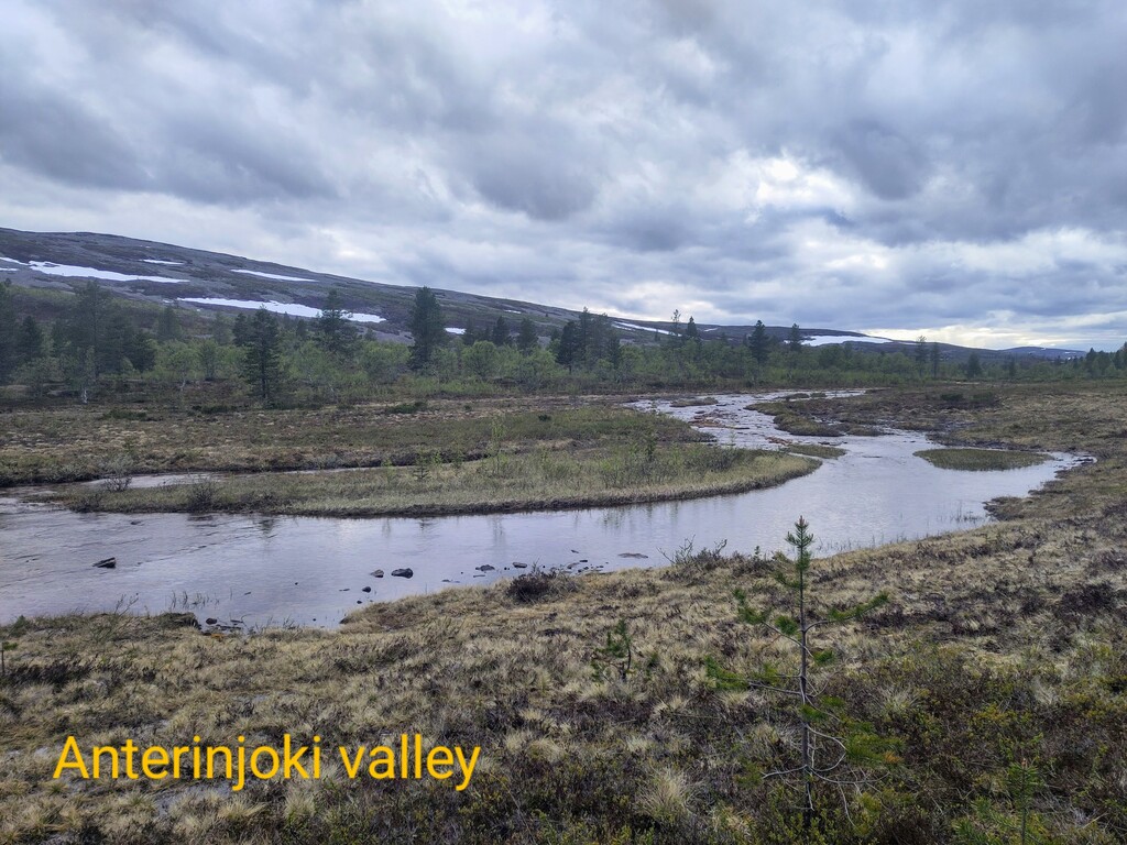
The route combines a collection of popular natural attractions and huts (and at least two saunas) in a loop. Some notable natural attractions on the way are: Iisakkipää (450 m), Pääsiäiskuru, Rautulampi, Porttikoski, Sarvijoki, Paratiisikuru, the view from the top of the pass, Pirunportti, Anterinmukka, Lumikuru, Sokosti (718 m), Jaurutuskuru, Kiilopää (546 m).
Logistics and supplies
The route passes several wilderness huts (autiotupa and varaustupa), making it suitable for both self-supported and unsupported attempts. For unsupported efforts, the use of huts is not permitted, but wild camping options are abundant.
There are no resupply options apart from Saariselkä and Kiilopää.
Water is generally available throughout, with some longer dry stretches between Lumikuru and Jaurutuskuru and before reaching Kiilopää (traveling clockwise). There are some small river crossings, but all are very easy.
Phone signal is unavailable in most places, except for close to Saariselkä and Kiilopää and in the highest places. A downloaded offline map (e.g. Maastokartat) is therefore encouraged.
Trail and navigation notes
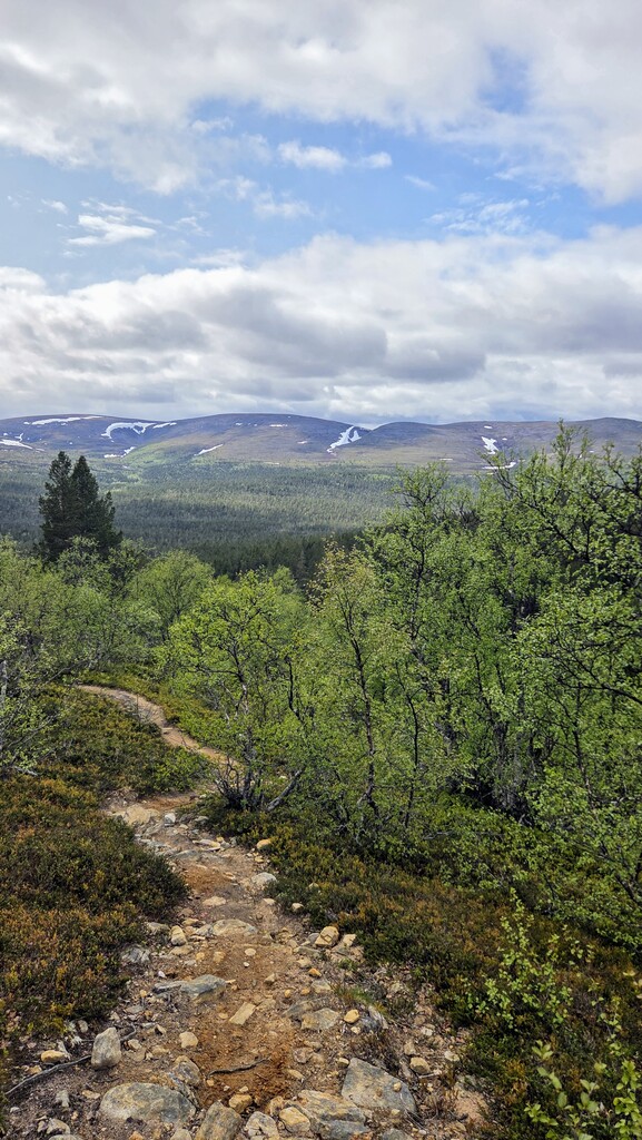
Most of the route follows established hiking trails. However, there are a couple of off-trail segments near Sokosti and Kiilopää, where the path disappears. These sections cross open tunturi terrain (tundra and scree) and are straightforward to navigate with a map or GPS.
Mostly the trail is wide and relatively non-technical, though rocky. Between Lankojärvi and Porttikoski the trail is narrow single track and more technical, and along Anterinjoki there are some less prodded and overgrown sections.
In many places, several parallel trails exist, and minor route variations are fine, as long as no significant shortcuts are taken.
While preparing the route, we thought about connecting a bigger touristy "Sauna FKT" (possibly including Korvatunturi) going to the southeastern parts. However, due to a norovirus outbreak in the park at the time, sauna use was discouraged, so we decided to leave the idea as a future possibility.