Location
United Kingdom
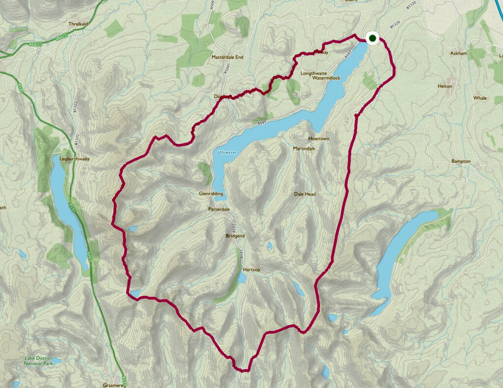
Distance
34 mi
Vertical Gain
9,858 ft
Description
GPS Track
Ullswater Rim Trail_0.gpx19.95 KB
FKTs
Male
Female
| William Howard | 6h 7m 38s | ||||
| Andy Berry | 6h 10m 24s | ||||
| Richard Keefe | 6h 51m 23s |
| Tom Sutton | 7h 53m 59s |
| Coral Mowbray | 9h 20m 32s | ||||
| Elaine Bisson | 9h 37m 15s |
Images