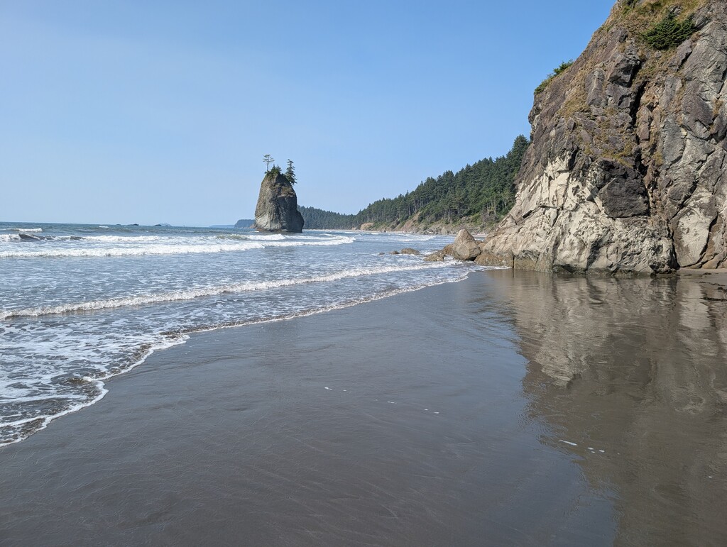
The route begins where the mouth of the Hoh River meets the Pacific Ocean. Utilizing Olympic National Parks iconic coastal thru-hiking route known as "The Wilderness Coast" to reach the northern terminus at the far northwest corner of the contiguous United States at remote Cape Flattery. It is some of the most primitive natural coastline in the lower 48 states. The unpopulated wilderness with no two miles of coastal trail alike. From views of the ocean to beaches (that might be sandy, rocky, or boulder-strewn!), up rope ladders to bluffs running on dirt single track through Old Growth Forests along cliffs plunging into the sea and then back down rope ladders to beaches with sea stacks topped with nesting seabirds. Washington's Wilderness Coast is as beautiful as it is wild.
The trail is the reliant on low tides to cross the rocky tidal headlands impassable at medium to higher tides. Call the Quillayute Marina for a local ferry transfer across the Quillayute River, typically payable in cash.
All important tidal headlands are clearly listed on the maps from www.customcorrectmaps.com “North Olympic Coast” and “South Olympic Coast” maps. The ONP rangers at the Port Angeles Wilderness Information Center can also advise (360-565-3100)
Tide information for the coast can be found at the NOAA (National Oceanic and Atmospheric Administration) website. https://tidesandcurrents.noaa.gov/. Tide Station = “La Push, Quillayute River, WA”
Permits are required for these sections: