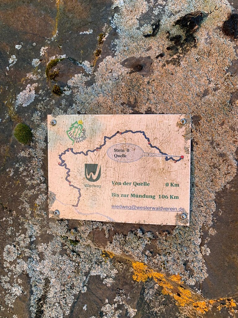
Route: Wiedweg (Germany)

Submitted by Frank Hardt on Sun, 05/09/2021 - 04:13am
Location
Germany
Distance
108 km
Vertical Gain
1,950 m
Description

The Wiedweg is a point-to-point route of 108 kilometers and 1950 meters of ascent/ 2230m of descen. The route begins in the town of Linden at the source of the Wied and runs through the Westerwald to the city of Neuwied where the Wied flows into the Rhine. The Wiedweg leads at the beginning over fields, meadows and through the forest. After about 50 kilometers the valley becomes narrower and it goes constantly up and down. At kilometer 85 you pass through the villages of Waldbreitbach and Niederbreitbach. Here the Wied meanders in many curves towards its destination.

https://www.urlaub-in-rheinland-pfalz.de/wandern-und-radfahren/1265/Wiedweg/index.htm

https://www.outdooractive.com/de/route/wanderung/westerwald/wiedweg-gesamtstrecke/2892545/

GPS Track
Images