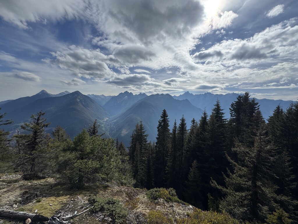
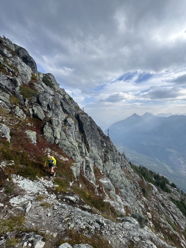
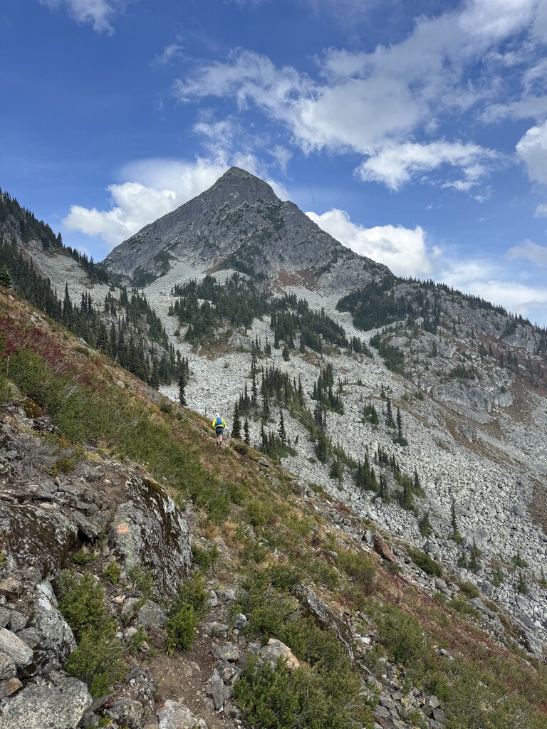
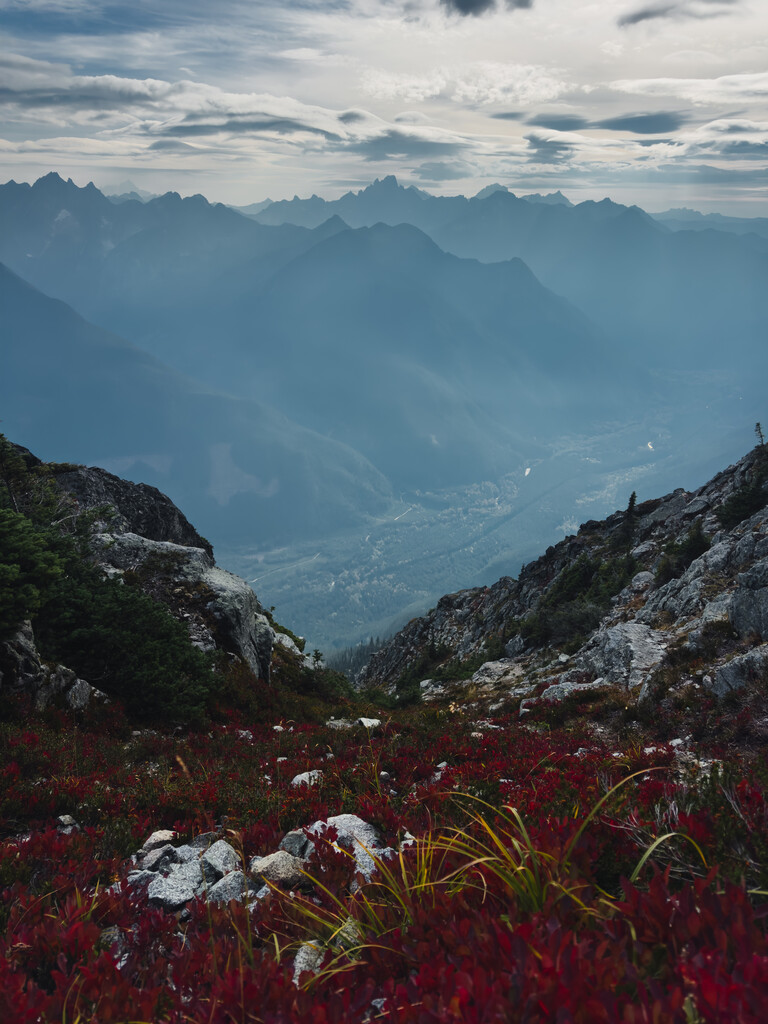
From Chilliwack Lake Road, the route starts low on old logging roads before a steep VK up Williams Ridge, climbing about 900 m to reach the junction. Once on the ridge, the trail heads eastward towards the peak, with an annoying amount of undulation before reaching a boulder field. Some parties stay high and scramble around the boulder field, others drop down a well-travelled ramp to contour through the bowl around 1650m elevation.
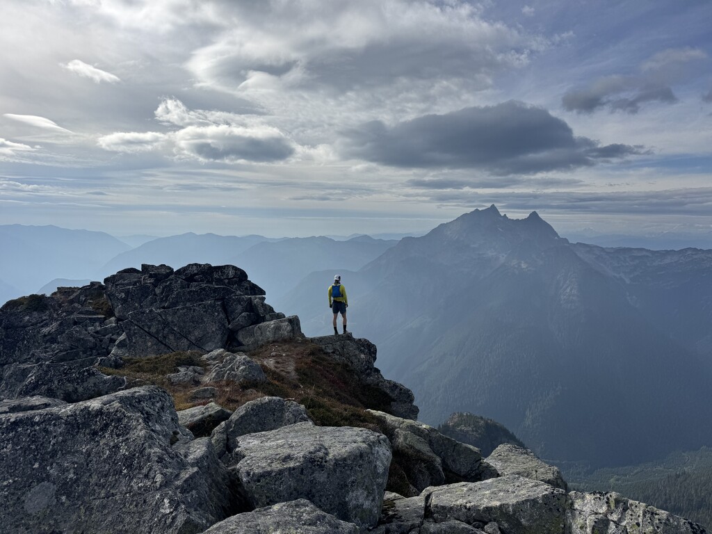
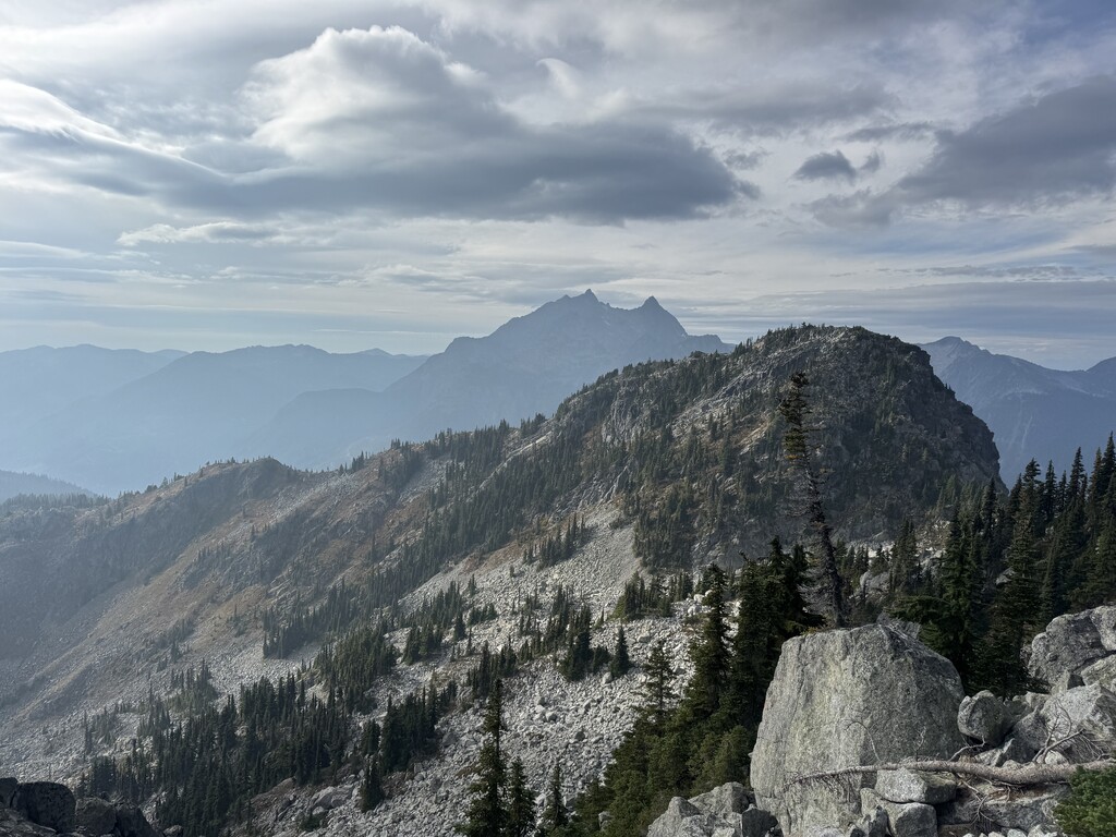
At the end of the boulder field a loose, steep gully leads into another south-facing grassy gully, which provides the final access to the summit. The ridge to the left goes at about class 3, but the gully provides the easiest and likely fastest route to the summit. Views from the summit are panoramic, with unfettered 360 views around the entirety of the Chilliwack range.
The descent simply reverses the route back down the summit block, through the boulder field, along the ridge, and then the final plunge to the trailhead. Conditions are often dry on the ridge, but snow, boggy ground, and route ambiguity in the basin or gully can slow progress, so diligent navigation, early start, and good fitness are essential. There are no obvious water sources on the trail, so bring enough for the round trip.
Hiking Williams Peak near Chilliwack - Best Hikes BC