Location
United Kingdom
Distance
56 mi
Vertical Gain
800 ft
Description
GPS Track
FKTs
Male
| Adam Graham | 10h 35m 47s | ||||
| Gavin King | 11h 50m 52s |
Male
| Adam Graham, Dan Graham | 6h 14m 48s |
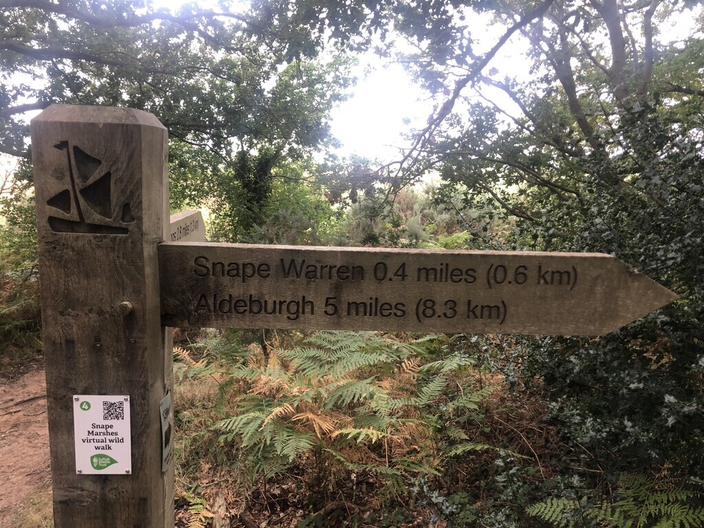
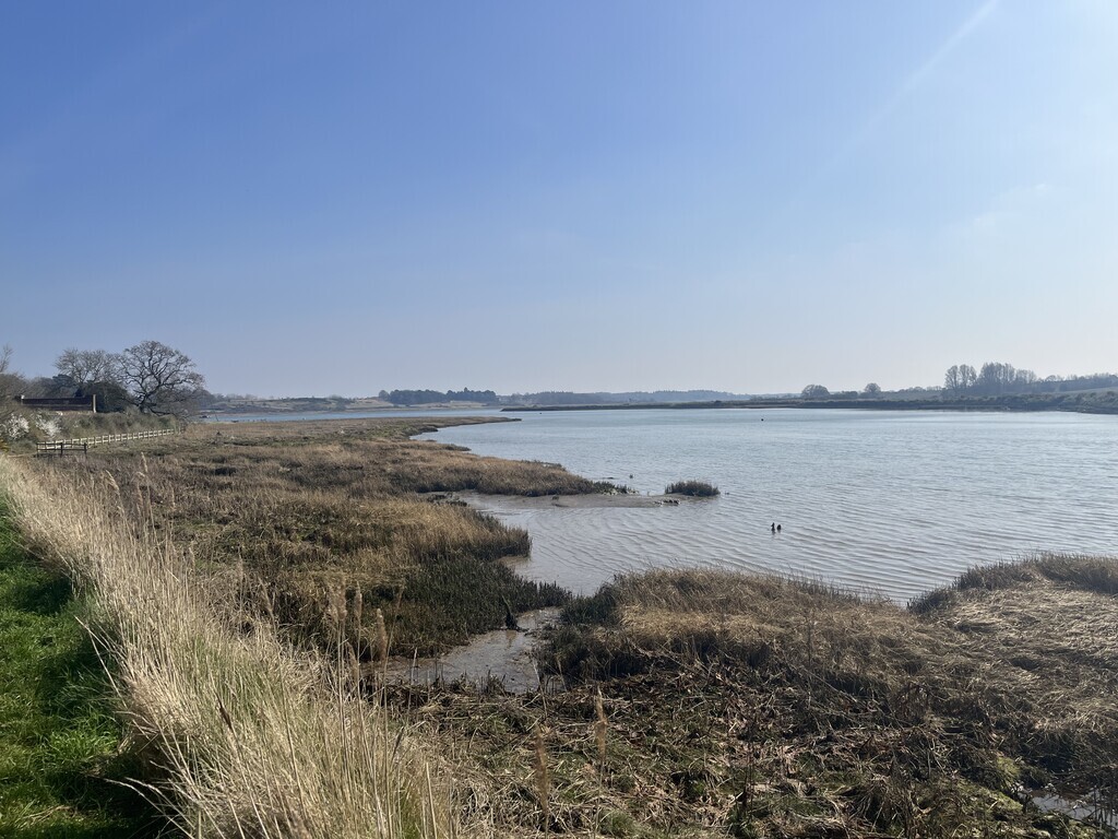
Images


Comments
I am planning to have a go at this at the end of May. I'll be unsupported.
May didn't happen. But I will be trying tomorrow! Unsupported.