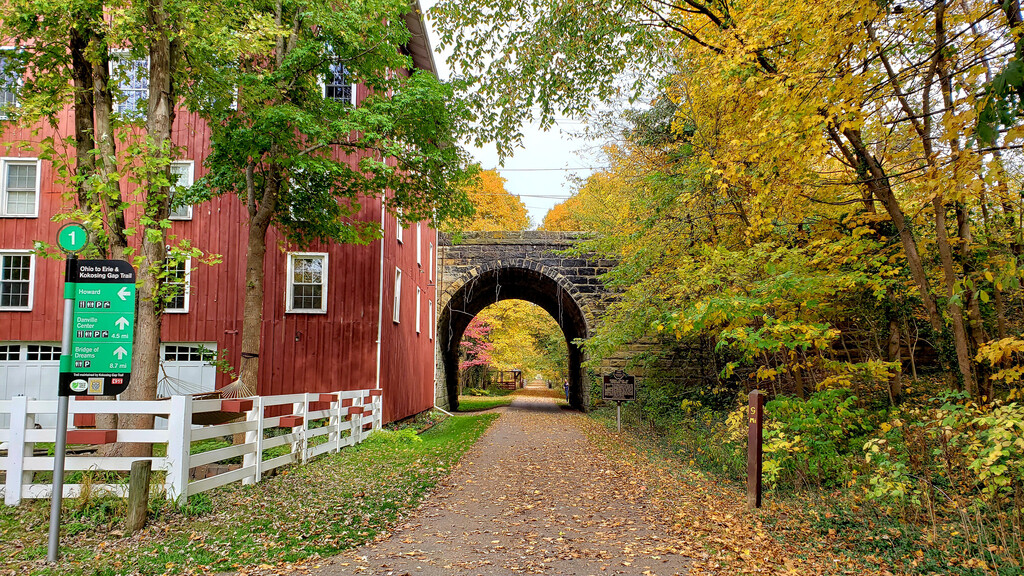
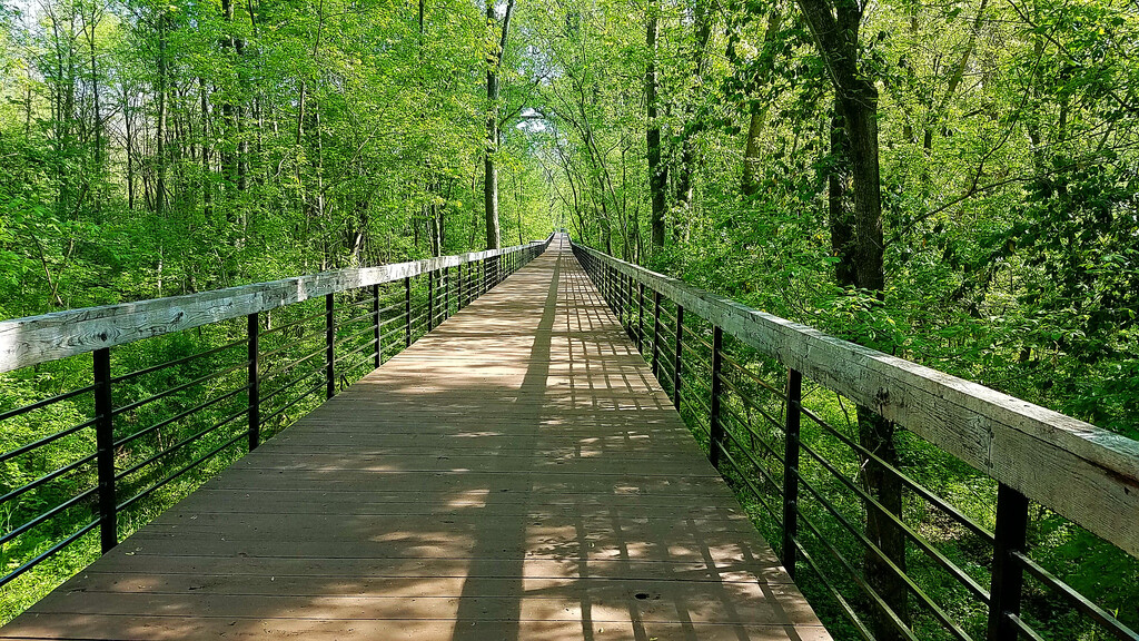
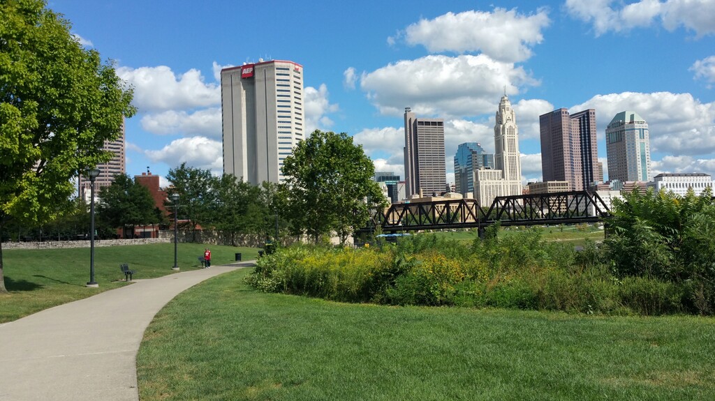
Location
Ohio,
US
Distance
323.1 mi
Vertical Gain
3,408 ft
Description
GPS Track
OTET_NB_Entire.gpx761.77 KB
FKTs
Male
Female
| Jacob Hart | 5d 15h 33m 59s | ||||
| Gary Sines | 6d 14h 43m 1s |
| Gina Armenini | 7d 3h 43m 8s |
Images
Comments
Starting on May 1st I will beginning my attempt at the Ohio to Erie Trail. I will be going self-supported and headed northbound starting in Cincinnati.
Currently still out on my attempt. I wanted to post an update that I have shifted from self-supported to supported
How's the attempt going? Thinking about taking a crack at it during a family visit home either later this year or next.
I finished on Wednesday around 9:00 pm. It was a memorable journey and I would highly recommend it to anyone who is thinking about doing it. I would love to see more people attempting this trail. You can check out my Instagram or Facebook I posted updates and photos along the way. Feel free to reach out if you start planning a trip and if you are doing it supported I would love to assist I live in Columbus near the trail.
Congrats! How fast did you end up doing it in?
Will be starting a self-supported northbound attempt on September 13th!
I'll start a supported attempt in a month, either October 20th or 21st, as a fundraiser for Stand Up To Cancer in honor of my mom. Will post an update depending on how things go!
Checking in to share I unfortunately injured my ankle about 50K in and only was able to finish the planned first day in Xenia. So DNFed about 67 miles in.
Starting on April 30th, I will beginning my attempt at the Ohio to Erie Trail. I will be going supported and headed northbound starting in Cincinnati.
I started at 4:03am on Thursday, April 30, 2026. Currently at Canal Fulton and plan to do the remainder of the section in one last push.