Joseph Nuara submitted the route:
The Woodbridge Greenway loop is a combination of several blue-blazed trail systems spanning through the towns of Hamden, Woodbridge, and New Haven in Connecticut. The 23mi course starts and finishes at West Rock State Park at the Lake Wintergreen parking lot and traverses through several of the Woodbridge Greenway trails, Yale Nature Preserve, the Maltby Lakes, and a short section through the sub-town of Westville before returning to the southern tip of West Rock State Park and returning to the start.
The “normal” direction is counterclockwise however clockwise is allowed for the route. The description below is for the CCW direction.
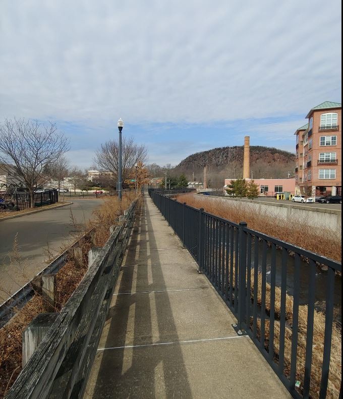
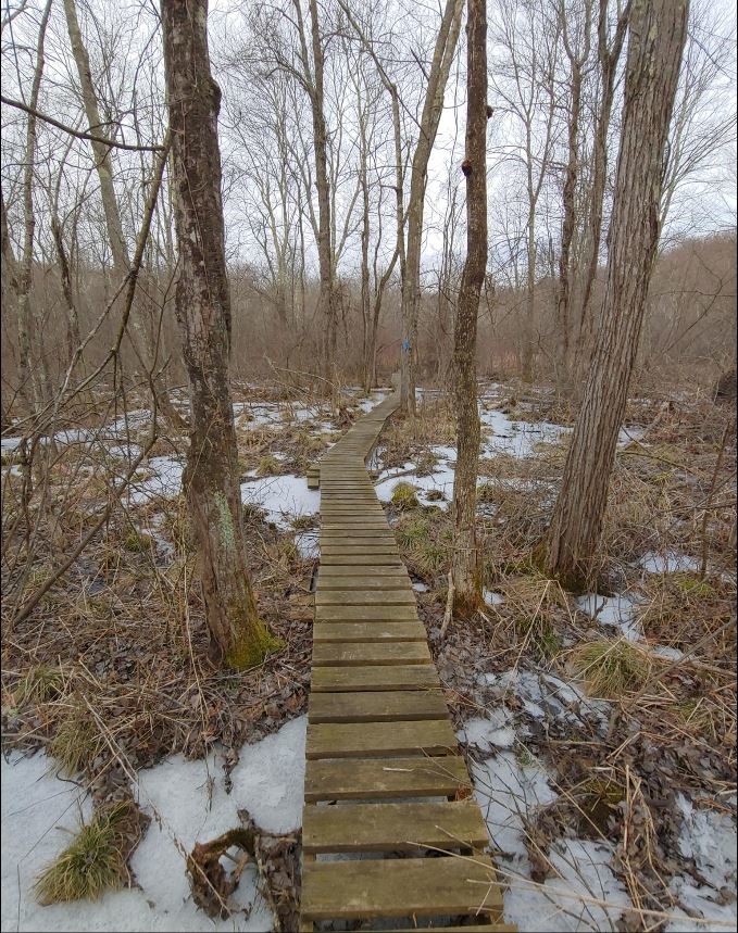
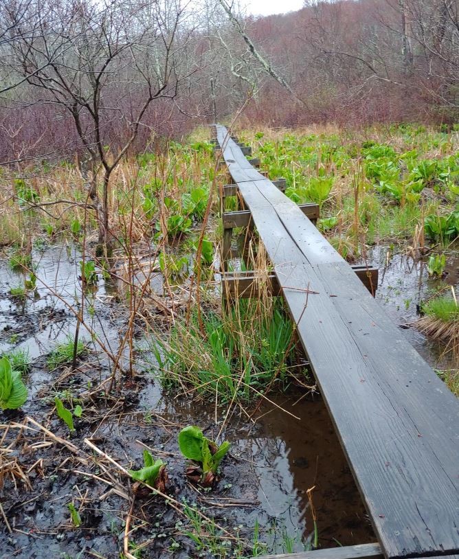
Starting at the trail sign at the West Rock State Park Lake Wintergreen lot,head west and merge onto the white trail about 100yds from the sign. Follow white for 0.5mi and turn left to follow Purple/White shortly before keeping left on Purple to Purple/Orange all the way to Baldwin Ave (old access road). Make a right on the access road and continue 0.25mi before making a left on Blue/Yellow. Continue through the Bishop Estate East section (See Woodbridge trail map links below) switching over to blue, then blue/red shortly then back to blue over the footbridge keeping left until you hit Rt 69. Make a left on Rt 69 and follow 100yds to make a right into Camp Whiting (boy scouts). Follow the blue blazes through the camp (left of camp building) and continue on Blue 1.5mi through the Bishop West Trails until you cross Dillon Rd. Continue on Blue/Yellow to Sperry Rd (Gravel access Rd & Regional Water Authority trails) and continue on blue/yellow blazes across several raised planks for another 1.3mi to Amity Rd/RT 63. (Note this section is typically overgrown in the spring/summer so prepare for some bushwhacking & thorn bushes). Cross the open field just before the road and note that the blazes can be hard to see. The trail is marked across the street for the next section.
Cross Amity Rd/Rt 63 into the Bladens Brook, Russell Swamp & Round Hill section (beware of cars), and follow blue-blazes across the street and up Round Hill between the property lines of two large houses (another note: the house on the right is known to have several hunting dogs so be aware and respectful of the space you leave between yourself & the properties, they do have an electric fence). Follow blue blazes along the gas pipeline crossing Newton Road & Seymour Rd/Rt67 into the Eldersile Preserve section before reaching Indian Trail(road). Follow blue blazes on Indian Trail 0.1mi before making a left on Forest Glen Dr, then a right back onto the trail in .25mi. Continue 0.15mi on trail, make a left on Indian Trail and a right back on the blue-blazed trail, then continue on blue into the Alice Newton Street Memorial Park.Continue on Blue blazes for 1mi passing the Wepawaug Falls on your right, then make a right on Blue/Yellow, then back to solid Blue blazes until reaching Center Rd/Rt114.
Cross the road continuing on Blue into the Fitzgerald Tract section. Continue on Blue through the Racebrook Estates section then make a right on Pease Rd. After .25mi make a sharp left up a gravel farm road under the power lines, follow blue/white for another .25mi keeping slight left then making a right on Blue through the Historic Indian Trails section. Follow blue 1.1mi running alongside Rt15(Merritt Parkway) just before reaching Fountain St. Make a left on Fountain and look for the opening in a fence on the right just after the underpass of Rt15. This is the entrance to the Yale Nature Preserve & the Maltby Lakes section. Follow the unblazed trail keeping the Yale golf course on your left. After a short while stay right up the hill & do NOT go through the open fence on the left. Look for White blazes and you have entered into the Maltby Lakes trail section (link below).
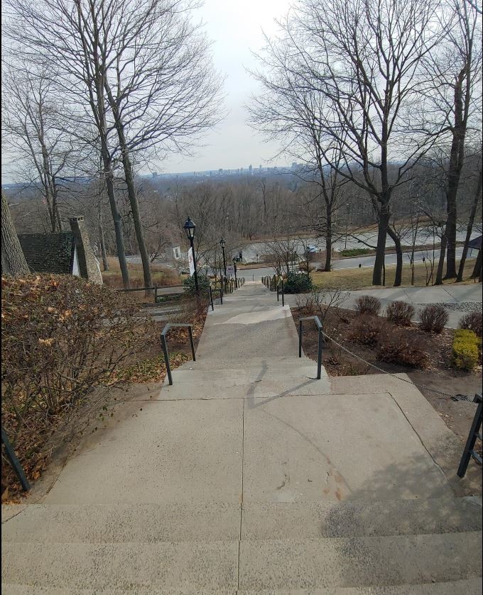
Follow white 0.5mi then make a right on Green for 0.1mi, then a left on White for 0.2mi then left on Yellow keeping the lake on your right. Continue on Yellow 0.5mi then keep slight right/straight on white for 100yd before making a left & quick right on Orange up the hill, through an old gate and along the sports field of Hopkins High School. Follow the mulch/dirt path keeping the track to your right. Make a right after the baseball field and left along the soccer field until you reach the stairs going down to the school entrance. Take the stairs down to Forest Rd/Rt 122, make a right at the traffic light onto Edgewood Ave. After 0.6mi at the Yale Ave intersection, cross diagonally into Edgewood park past the “calisthenics” machines. Follow the park trail until reaching the West Rock Ave/Whalley Ave intersection. Cross the road and follow West Rock Ave to the fenced footpath along the West River. Climb up onto the path & continue across Blake St past the Playground and over the footbridge entering West Rock State Park. Pass the baseball field on the left and follow Blue/Yellow before making a sharp right on Teal blazes. Take a left heading up Blue/Red and a quick right on Red and follow north back to the parking lot start/finish. At the trail junction at the southern tip of the lake you can take either Red/White or true Red.
GPX Course (Garmin): https://connect.garmin.com/modern/course/30640644
Strava: https://www.strava.com/activities/3105701742/overview
Original PDF maps used to conceive route: https://drive.google.com/file/d/0BzaU2FBQVuEBQlZfTzMwUmFiZ28/view?usp=sharing
West Rock State Park Trail Map: https://www.ct.gov/deep/lib/deep/stateparks/maps/WestRockParkmap.pdf
Maltby Lakes Trail Map http://scrcog.org/wp-content/uploads/trails/RWA/alt/RecTrails_RWA7_Alt_6-2-16.pdf
Woodbridge Trail Maps https://www.woodbridgect.org/209/Trail-Maps
1. Order of Maps to follow route:
2. Bishop Estate & Darling House
3. Bishop West
4. Regional Water Authority (RWA) trails
5. Bladens Brook, Russell Swamp & Round Hill Trails
6. Eldersile Preserve
7. Alice Newton Street Memorial Park
8. Fitzgerald Tract
9. Race Brook Estates
Historic Indian Trails Park Lane
Comments
This is an awesome route!!!!
Looks awesome! Theoretically, since it’s a loop course, it could begin and end anywhere in the loop, right? I only ask because I prefer not to drive to run somewhere when possible, and parts of this loop are super close to home. :)
Yes, you can start/finish at any point on the loop. Have fun!
Note that you need a permit to complete this loop, as the trails near Maltby Lakes are on RWA land. Personally I find these fees detrimental, notably because they make many trails in the New Haven area less accessible to local communities, but that's the way it is. Here's the info about permits:
https://www.rwater.com/in-the-community/recreation