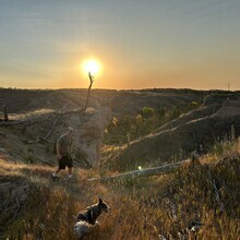
A point to point route starting at the West Ash Trailhead and ending at Coffee Butte Trailhead. The route crosses much of the Pine Ridge in the Nebraska National Forest in the northwestern corner of Nebraska near Crawford and Chadron. This route is marked by wood poles as it goes up and down bluffs while crossing canyons. This is the longest trail in the Nebraska National Forest. This is an important trail in the Pine Ridge National Recreation Area.
This is the best reference for the trail: http://discovernwnebraska.com/wp-content/uploads/2017/09/17-1026-Dawes-Trail-Guide-080817-no-Bleed.pdf&ved=2ahUKEwjQoL2J-KzpAhUKrZ4KHcwhDqgQFnoECAUQAA&usg=AOvVaw10L_-xH_zdE2NJmOikssHU
Admin note: The above is from the original description for the westernmost 17.5 mile section of the trail up until Deadhorse Road. Times for this section are listed below under the "west 17" variation. Colby Osborn adds the following for the entire trail linked by 2 miles of Deadhorse Road, which the forest service now recognizes:
The Pine Ridge Trail is a hidden gem, offering a remote and underutilized hiking experience in the rugged, scenic Pine Ridge region of northwest Nebraska. Stretching approximately 35.5 miles between West Ash Trailhead and Spotted Tail Trailhead, this is Nebraska's longest trail in its class. With an elevation gain of around 4,547 feet and a descent of 4,823 feet when traveling west to east, the trail takes you through a variety of landscapes that showcase the unique beauty of Nebraska's less-explored public lands.
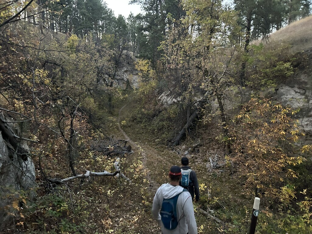
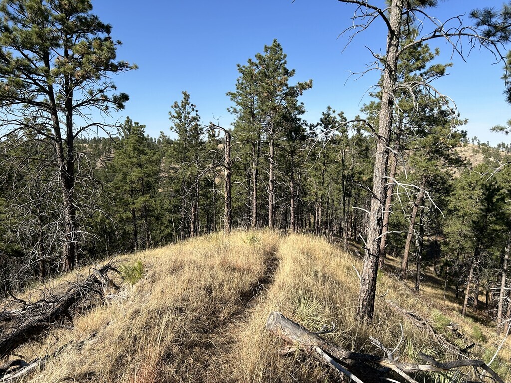
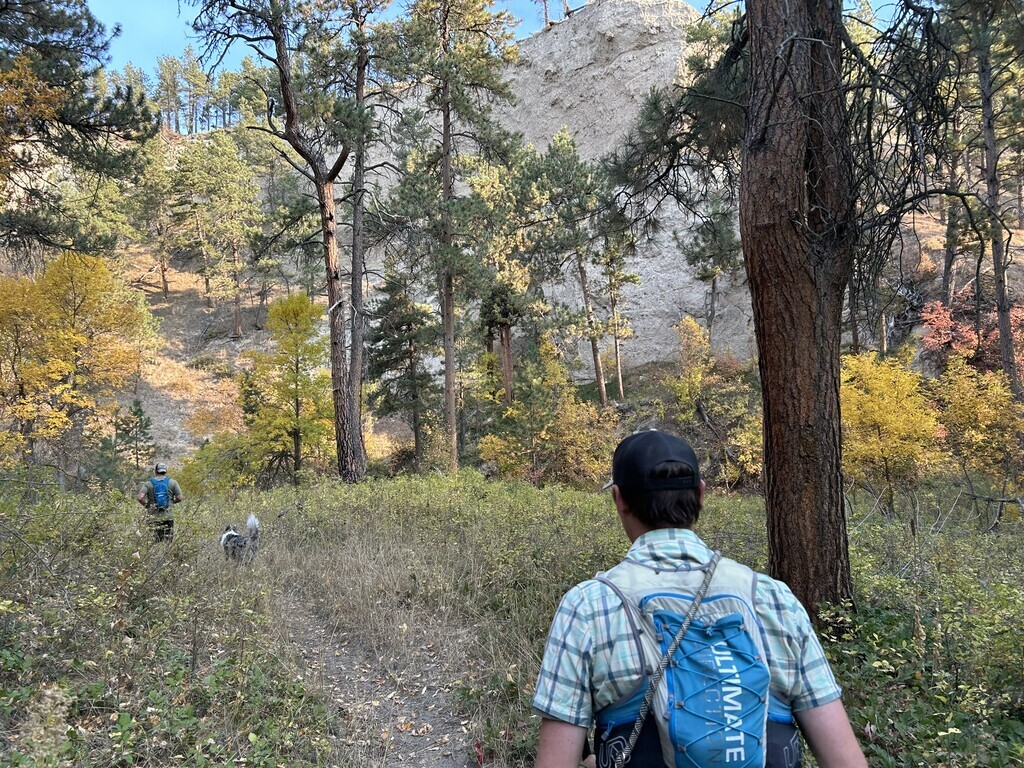
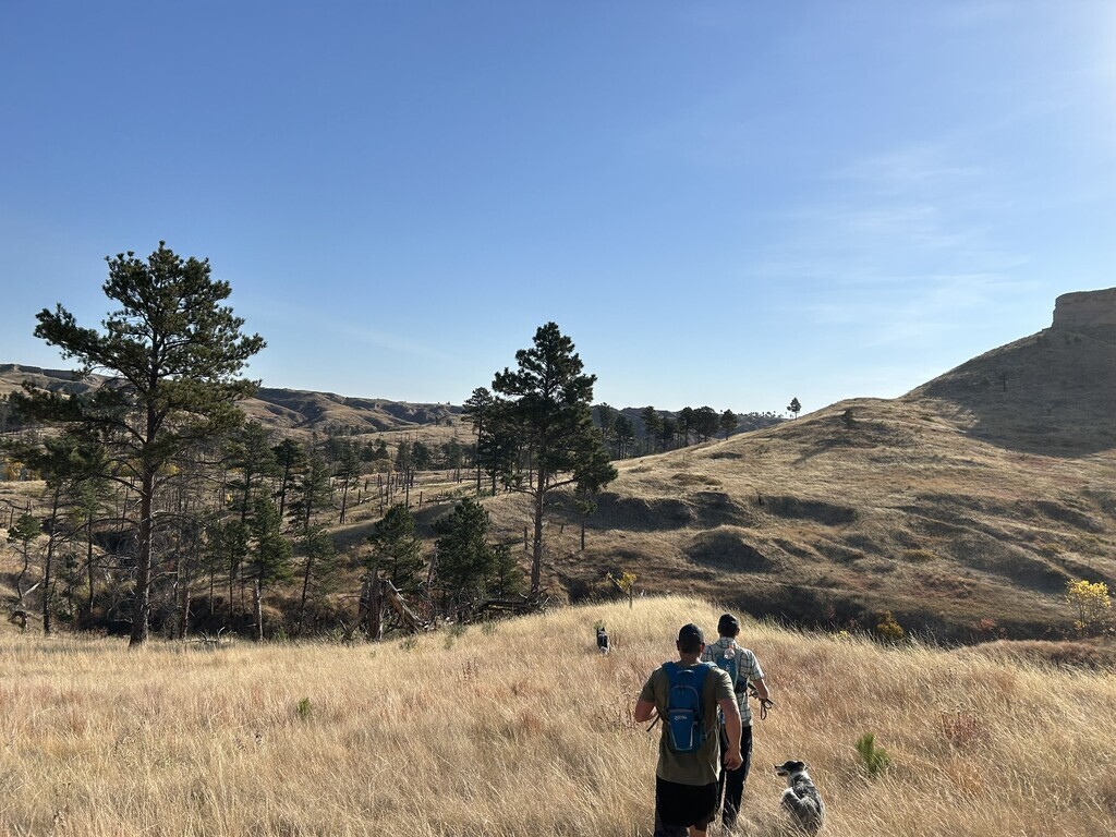
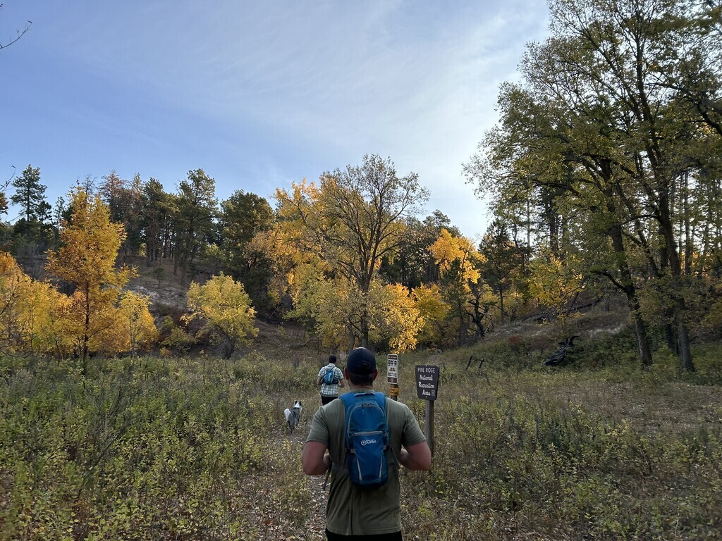
This primarily single-track trail is well-marked, but its underutilized nature means the trail is often grassed over with no visible wear, giving hikers a true off-the-beaten-path experience. You’ll traverse a diverse range of environments, from classic ponderosa pine forests to mixed stands of ash and cottonwood trees along small creek beds, expansive shortgrass prairies, and striking areas recovering from wildfires in both 2006 and 2012.
In addition to the single-track sections, the trail follows a county road (Deadhorse Road) for about two miles as it crosses through private land, and includes short stretches along forest service roads as well as a small amount of pavement through Chadron State Park. Outside of these segments, the route frequently follows cow trails, game trails, or requires direct navigation from marker to marker, which adds an exciting element of adventure. The markers are most often posts painted brown with a white cap on top, though in forested areas, blazes on trees can help guide trail users. Small metal circular signs with an arrow and 'Pine Ridge Trail' text also indicate direction, especially where the trail makes sharp turns.
There are several locations where the trail crosses roads accessible by motor vehicles, including forest service roads, gravel roads, and Highway 385. Many of the small streams along the trail are drought-tolerant but may dry up during prolonged dry periods, although they generally offer water suitable for treatment or filtering. Potable water is also available within Chadron State Park, except during months with freezing temperatures. The trail passes by several stock tanks with windmills, but these should not be considered reliable water sources. The windmills are primarily for watering cattle, which you’re likely to encounter along the trail. Since grazing permits are sold for much of the Nebraska National Forest land the trail covers, there are many gates along the way that trail users must open and close while passing through.
The Pine Ridge Trail targets some of the most remote and scenic portions of the 180,000+ acres of public land in the region. Nebraska’s Pine Ridge escarpment is the focal point of attractions in northwest Nebraska, stretching over 100 miles across Dawes, Sioux, and Sheridan counties. It extends into South Dakota’s Pine Ridge Indian Reservation and, to a lesser extent, the northern side of Wyoming’s Niobrara River watershed. This dramatic formation is characterized by several hundred square miles of forested areas, meadows, steep buttes, small canyons, minor peaks, and numerous streams.
The best documentation of this route can be found on the US Forest Service website at https://www.fs.usda.gov/recarea/nebraska/recreation/recarea/?recid=82882"
Comments
I am thinking about giving this route a go next week. Does anyone know if there are any reliable water sources along the route?
There are some cattle tanks and small creeks. We have only been in the early spring, so are unsure how it looks during the summer.