Location
North Carolina,
US
Distance
22 mi
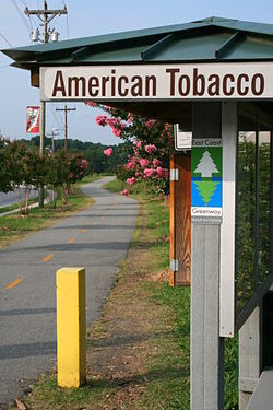
Description
GPS Track
FKTs
Male
Female
| Ethan Ready | 2h 28m 40s | ||||
| Tim Sill | 3h 2m 36s | ||||
| Dylan Beres | 3h 34m 33s |
| Lindsay DiMarco | 2h 54m 46s |
| Frances Hayward | 3h 1m 0s | ||||
| Pamela Cayer | 3h 41m 16s |
Male
Female
| Mark Manz | 5h 39m 13s |
| John Ruemker | 5h 59m 13s | ||||
| Alex Fenn | 6h 9m 3s | ||||
| John Ruemker | 6h 40m 19s | ||||
| John Ruemker | 7h 4m 40s |
| Luiza Barteldes Farinha | 8h 58m 47s |
Images
Comments
I'm positive that the FKT listed here isn't actual the "fastest known time". There are Strava segments for both directions on the ATT that list many faster attempts: https://www.strava.com/segments/14770558 and https://www.strava.com/segments/22499066.
Thanks for the heads up, Jon. I wasn't aware there was a Strava segment, but given there isnt any info on any of those attempts being completed in a true unsupported style, I think my submission is warranted.