Location
Missouri,
US
Distance
27 mi
Vertical Gain
2,400 ft
Description
GPS Track
FKTs
Male
| Michael Komer | 5h 38m 17s | ||||
| John Shelby, Gary Braman | 6h 40m 26s |
| Jake Grossbauer | 5h 42m 14s |
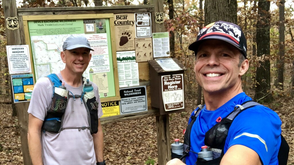
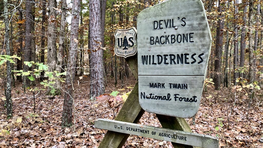
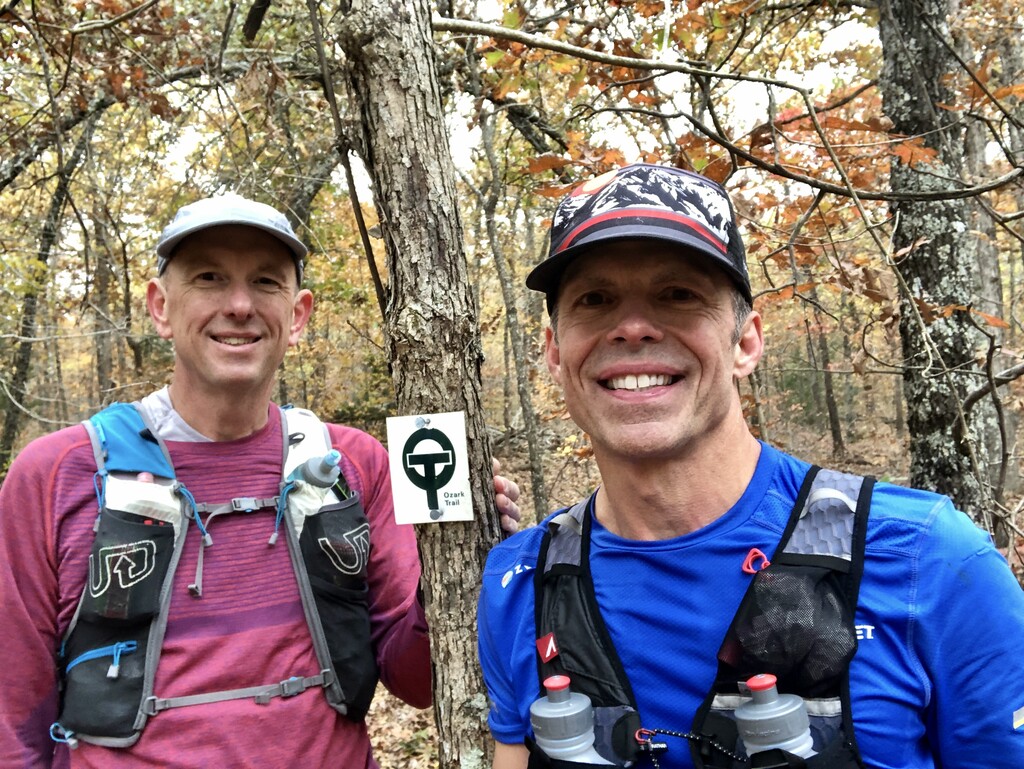
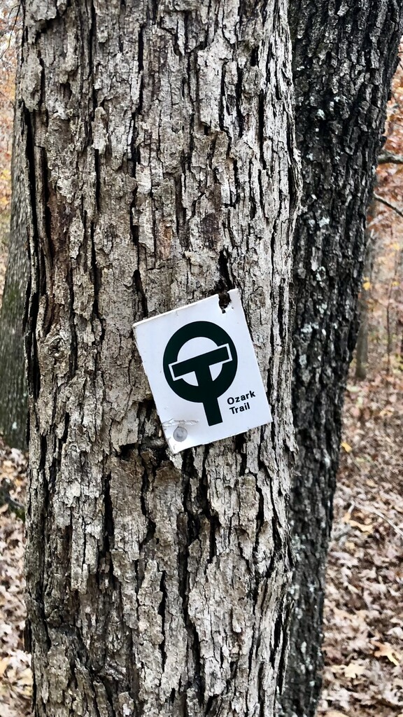
Images

Comments
FYI, There is quite the discrepancy on elevation gain. Strava has my gain at 2435' and they have Gary's gain at 3235'. Trail Run Project has it at 2790' going from east to west. The opposite direction we traveled.
The FKT map shows this section as being in Missouri and the name is "North Fork Section (MO)", but from the map it appears this section of the trail is in Arkansas. Can anyone elucidate this?
Sean Nunn
Raytown MO