Location
Ontario,
CA
Distance
30.7 km
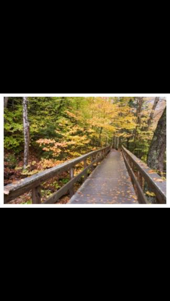
Description
GPS Track
JH-Elgin.gpx6.13 KB
FKTs
Male
Female
| Matt Farquharson | 4h 2m 36s |
| Dave Foster, Scott Clark | 4h 38m 2s | ||||
| Jamieson Hatt, Casey Thivierge, Derek Mulhall | 5h 20m 0s |
| Chantal Demers | 4h 33m 48s |
| Kelly Wilson | 7h 30m 5s |
Images


Comments
Jamieson Hatt posted intent to set an FKT on this trail:
Thank you for this site!!! It’s amazing. Myself, Casey Thivierge and Derek Mulhall will be doing an fkt of the Elgin Trail this Saturday, April 7/2018. It will be an unsupported effort for the 3 of us. We plan on leaving Southdel Drive around 6am. Here is my link to my delorme tracker. https://share.garmin.com/JamiesonHatt
After completion, I will fill out the fkt form. But, since there is no fkt for this trail currently, I thought I’d fill this part out and also give you the heads up that we are attempting it. Thank you so much! Any questions, don’t hesitate to ask...
It was a great day on the trails! Here's the link to Derek's Suunto data...
http://www.movescount.com/moves/move210270659
I will be attempting a solo, self supported or possibly unsupported attempt of the Elgin trail on Sunday, July 22/2018. I am attempting this as an out and back route. I will start in southwold and make my turn around at the beach in port Stanley. This will total 82km since the standard route is 41km. I am bringing my water filter to drink from the river and if necessary, I can stop in st Thomas or port Stanley for more food or water. I plan on starting sometime nice and early. I will be carrying a delorme unteach. Here’s my live tracking link. https://share.garmin.com/JamiesonHatt
Unfortunately, I had to bail part way through this attempt. Lets just say I needed a rain jacket and a machete for this one. Forgot both at home. I always learn more through failure, so it's all good. On to the next one!
I will likely be attempting this on Saturday. Somewhere in the middle of the trail, there is an out and back leg that connects the trail to another trailhead. This appears to extend the total distance to 43 km, from 41 km. The posted FKT does not include this leg, so is it safe to conclude that the official route excludes this section?
I will be attempting a solo and unsupported female attempt (likely in winter conditions), within the next month.
It will be recorded with a Coros Apex and will be published on Strava immediately following the attempt.