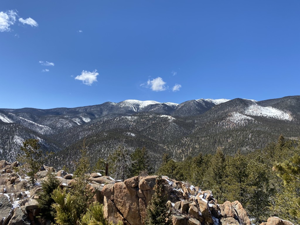
Location
Colorado,
US
Distance
17.1 mi
Description
GPS Track
FKTs
Male
Female
Mixed-gender team
| Shane Berry | 2h 46m 33s | ||||
| Jesse Mascarenas | 2h 47m 23s | ||||
| Cory Linfield | 2h 57m 34s | ||||
| Toby Lefere | 3h 39m 52s |
| Kristina Mascarenas | 3h 1m 28s | ||||
| Amanda Morgenstern | 4h 41m 17s |
| Kristina Mascarenas, Jesse Mascarenas | 3h 8m 44s |
Images


Comments
Also, the route is available to follow using the CO Trex app - https://trails.colorado.gov/routes/11087
Ran the loop in 2:49:10 today- the wrong turns I took on Cutler, Moscoco, and Gold Camp ended up costing me big time. Cory's time is incredibly strong for the route; I was maxed out at the top of every climb and had to fly down every hill just to keep pace. Hoping I can rest up and give it a (snow-free) attempt next week, but of not I'll be back in October to try again!
https://www.strava.com/activities/5247845513
Oops just realized that it's Jesse who has the FKT. My brain is addled from all that vert