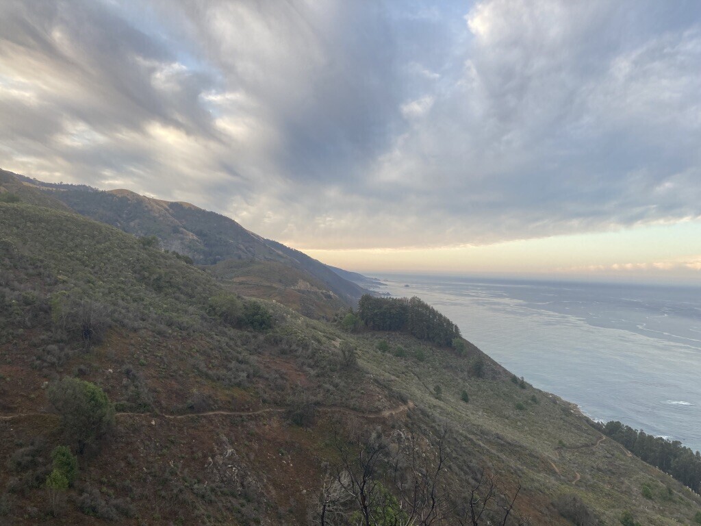
Stone Ridge is a spectacular 5.1 mile ascent to Cone Peak, with about 5k' of solid climbing, majority of which occurs at miles 2-4. The views on this trail are worth every step 
Brief description of Cone Peak from SummitPost:
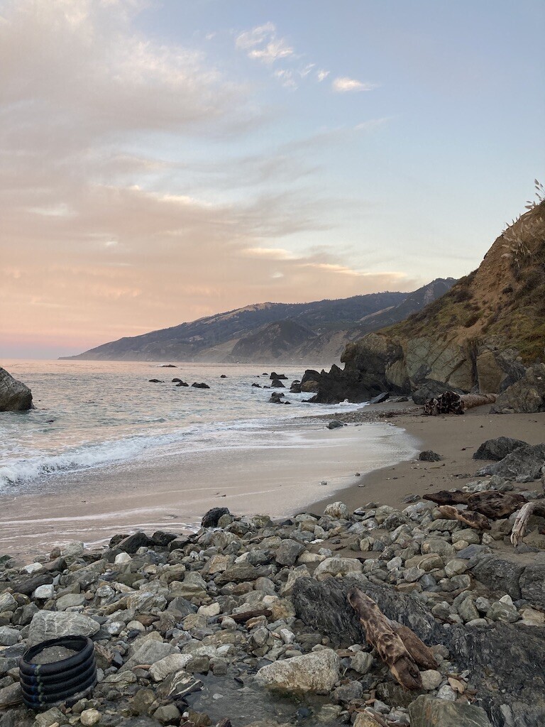
Cone Peak is the most spectacular mountain on the Big Sur coast of California. It is the second highest mountain (Junipero Serra Peak is higher) in the Santa Lucia Range. It has a dramatic setting less than 3 miles as crow flies from the Pacific Ocean, its average gradient from sea level to the summit is about 33%, which is steeper on average than the gradient from Owens Valley to Mount Whitney.
The ascent of Stone Ridge has a Strava segment (note that this is the correct segment from the TH to the true summit).
Vicente Flat RT (submitted by driggsy): 22.6 mi / 6,000 feet elevation gain
There is a segment here (https://www.strava.com/segments/8381696?filter=overall) that gets most of the route, but I propose that this variation starts and ends touching the ocean, seeing as there is an easy trail that only adds 150ft and 2/3 of a mile round trip. This way it is a true Sea to Sky. The Vicente Flat route has amazing coast views, big redwoods, interior Ventana time, and a great summit pitch.
Natalie Rizzo suggests combining the Stone Ridge & Vicente Flat routes into a horseshoe shaped route for a total of around 21 miles. This route can be run in either direction.
FKTs
- Stone Ridge ascent
- Stone Ridge up & down
- Vicente Flat ascent
- Vicente Flat up & down
- Stone Ridge & Vicente Flat
| Erik Sorenson | 1h 21m 23s |
| Maria Steinhauser | 2h 33m 14s |
| Jessica Johnson | 3h 15m 28s |
| Clark Messman | 3h 53m 57s | ||||
| Josh Grant | 5h 31m 31s |
| Natalie Rizzo, Laura Rink | 14h 47m 54s |

Comments
Sorry to report this entire route burned in the Dolan Fire of 2020. It’s likely the area will remained closed for quite some time due to the dangerous conditions that follow a wildfire so make sure to check the status of the fire closures in the park before visiting.
Both trails (Stone Ridge and Kirk Creek+Vicente Flat) have been reopened (as of July or August 2021). Work is still being done, specifically on the Vicente Flat route (seeing as Stone Ridge is not an official maintained trail by the USFS), but both are definitely runnable. Enjoy!