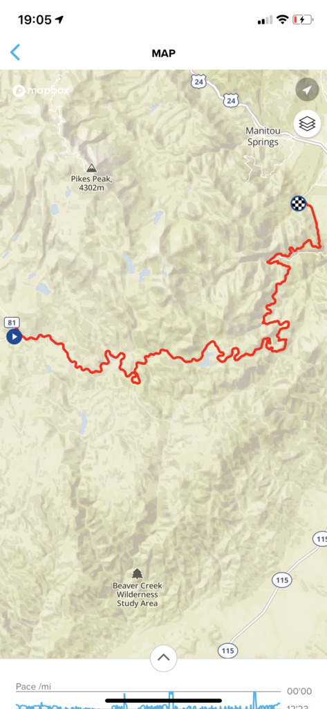
Location
Colorado,
US
Distance
33.6 mi
Vertical Gain
792 ft
Description
GPS Track
FKTs
Male
Female
Non-binary
| Geoff Burns | 3h 53m 6s | ||||
| Adam Rabo | 4h 56m 16s |
| Kaitlyn Yonke | 4h 54m 42s |
| Kathryn Lindquist | 7h 5m 36s |
| Jackie Hill | 9h 25m 19s |
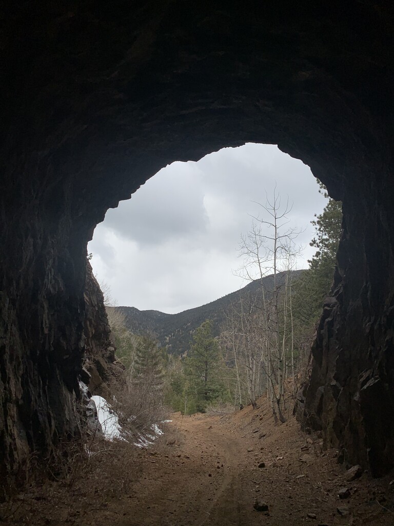
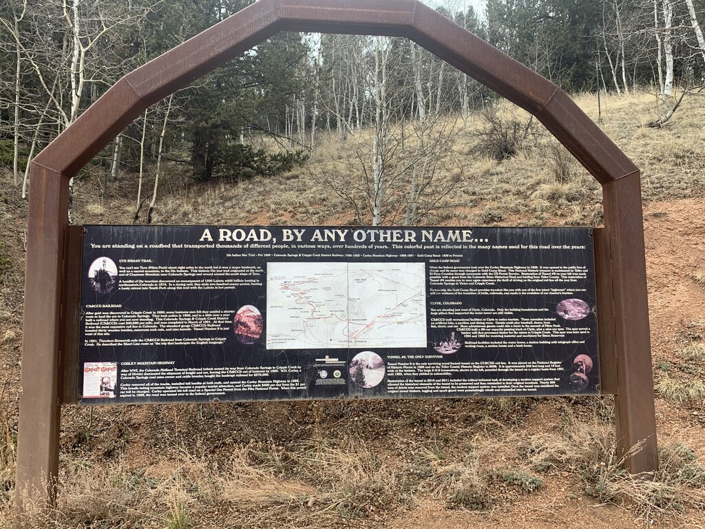
Images

Comments
I plan on making an unsupported run for the FKT for Gold Camp Road on Sunday, October 24th. I'll start in Victor around 7-7:30 and hope to be finished between 12-1 in Colorado Springs. I will track the run using my Coros Apex GPS watch and will post my Strava link upon completion.
I missed the turnoff at mile 20-21 and continued onto Old Stage Rd.
I'll have another crack at the route in the spring.
https://www.strava.com/activities/6161808001/overview
I'll be making an unsupported run on Saturday, April 30th. I plan to start around 7am in Victor. I will track the run using my Coros Apex GPS watch and will post my Strava link upon completion.
Going to give the Historic Gold Camp route a shot unsupported on 7/30/22. I plan to start in Victor around 7:30am, but who am I kidding, it’ll probably be 8:30 or 9:00am. I’ll track the run on my Garmin FR 955, and I’ll use a second device as a backup, either an FR 245 or FR 645. I plan to continue on past the finish at High Dr. to the end of Gold Camp at 8th St., and maybe another mile home, unless I prematurely stop at the McDonald’s on 8th for a milkshake. I’ll take the split when arriving at the Historic Gold Camp finish and upload the trimmed GPX file for the route. I’ll upload the full run to Strava.