Location
United Kingdom
Wallis & Futuna
Distance
56 km
Vertical Gain
1,021 m
Description
GPS Track
activity_5240580333.gpx3.2 MB
FKTs
Male
Female
| Paul Flynn | Flagged | 4h 40m 12s | |||
| Robert Kestin | 4h 40m 29s | ||||
| Robert Bishop, Jason Pocock | 6h 9m 12s | ||||
| John Evans | 7h 26m 38s |
| Dai Davies | 6h 49m 43s | ||||
| Allen Davis | 7h 27m 6s |
| Rosie Bristow | 7h 19m 10s |
| Bethany Carnegie | 7h 27m 7s |
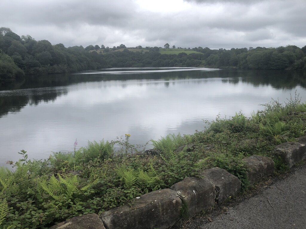
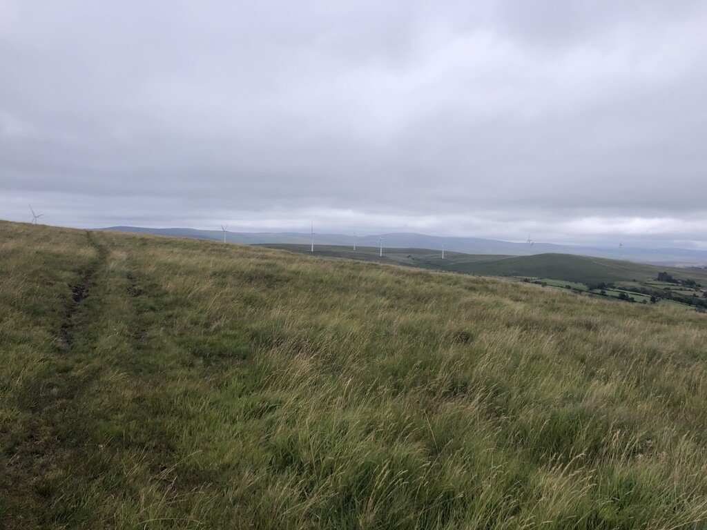
Images


Comments
Editor's note: On 26 June 2021, Paul Flynn beat the previous supported FKT by 17s, but went off trail at two locations: once on the section from Gorseinon to Gowerton and then again to miss the ascent at Rhossili Down.
Please try to keep to the official route, folks. Thanks!