Route: Gower Way (United Kingdom)

Submitted by ironmanAllen on Thu, 07/16/2020 - 02:16am
Location
United Kingdom
Wallis & Futuna
Distance
56 km
Vertical Gain
1,021 m
Description

Inaugurated by the Prince of Wales in 1998, the Gower Way runs 35 miles (56km) from Rhossili at the extreme south-west of the Gower Peninsula, through to Penlle’r Castell in upland Mawr (this is a cross-section of the area covered by the ancient lordship of Gower).

Thanks to Gower’s long history of settlement, the route will take you past a variety of impressive historical sites, from ancient cairns and standing stones (including Arthur’s Stone, a Neolithic burial monument) and fortifications, to old consecrated wells, Norman castles and chapels.

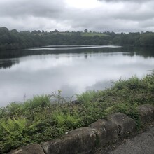
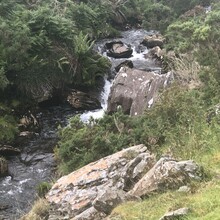
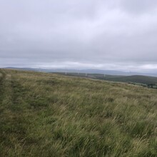
Gower’s varied geology and natural environment also ensures that the route travels through an extraordinarily diverse range of scenery, from the spectacular beach at Rhossili, over weathered limestone plateaux and rolling farmland, to the wilder uplands and heath of the Mynydd y Gwair hills.

The path was designed to promote green tourism In the less-explored areas of Gower, letting walkers and runners experience sweeping views of the landscape and discover a new perspective of the area.

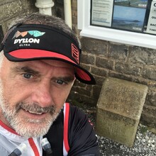
Marker stones have been placed at approximately 1km intervals. 

The  Route can be executed in both directions with the more strenuous west to east option being the more challenging due to its final vertical gain.

GPS Track

Comments

Editor's note: On 26 June 2021, Paul Flynn beat the previous supported FKT by 17s, but went off trail at two locations: once on the section from Gorseinon to Gowerton and then again to miss the ascent at Rhossili Down.

Please try to keep to the official route, folks. Thanks!Â