Route: Ice Age Trail: Lapham Peak Segment

Submitted by Kyle Kalbus on Wed, 04/06/2022 - 03:06pm
Location
Wisconsin, US
Distance
7.7 mi
Vertical Gain
500 ft
Description

The Lapham Peak Segment winds through woods and prairie restoration sites and includes outstanding views from the Lapham Peak observation tower.

The southern end of this segment is where the IAT joins the Glacial Drumlin State Trail near the UW Waterville Field Station--use overflow parking along the gravel drive, and access the trail via the access path. The segment departs from the Glacial Drumlin State Trail after approximately two miles, crosses STH-18 and makes its way northeast near Scuppernong Creek. Then, the segment enters the Lapham Peak Unit of the Kettle Moraine State Forest. Next, the segment heads up towards the Lapham Peak observational tower, which is approximately 1,223 feet above sea level that offers 360-degree views. After passing by the tower area the segment meanders down the side of the kame through open woods. The segment makes its way east to CTH-C (Kettle Moraine Drive) passing a small pond with an observation deck on the way. West of CTH-C the segment passes another pond and begins to weave through the Lapham Peak Unit’s Prairie Path. The trail offers some views of the prairies and surrounding areas. Less than half a mile from the segment’s northern endpoint a spur trail leads to Nemahbin Springs, home to a flourishing frog population and many aquatic plants. The northern end of the segment is the intersection with Cushing Park Road.

GPS Track
Images

Comments

User Picture
Profile picture for user Kyle Kalbus

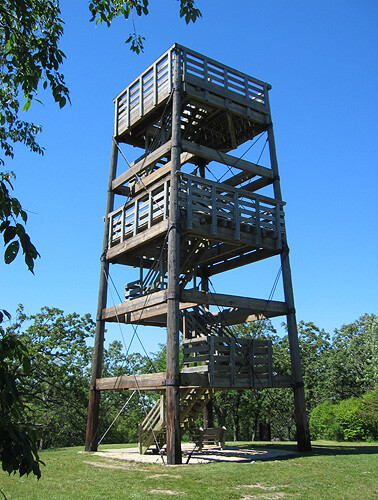
This is a beautiful route with an amazing observation tower that can see all the way to Madison, Milwaukee, Holy Hill, and Lake Michigan!Â