Location
California,
US
Distance
19.8 mi
Vertical Gain
5,798 ft
Description
GPS Track
activity_8343299231.gpx2.7 MB
FKTs
Male
Mixed-gender team
Female
| Peter Hagemeyer | 3h 50m 16s |
| Nadja Heine, Suneet Saldanha | 5h 25m 6s |
| Melissa Harwood | 6h 11m 31s |
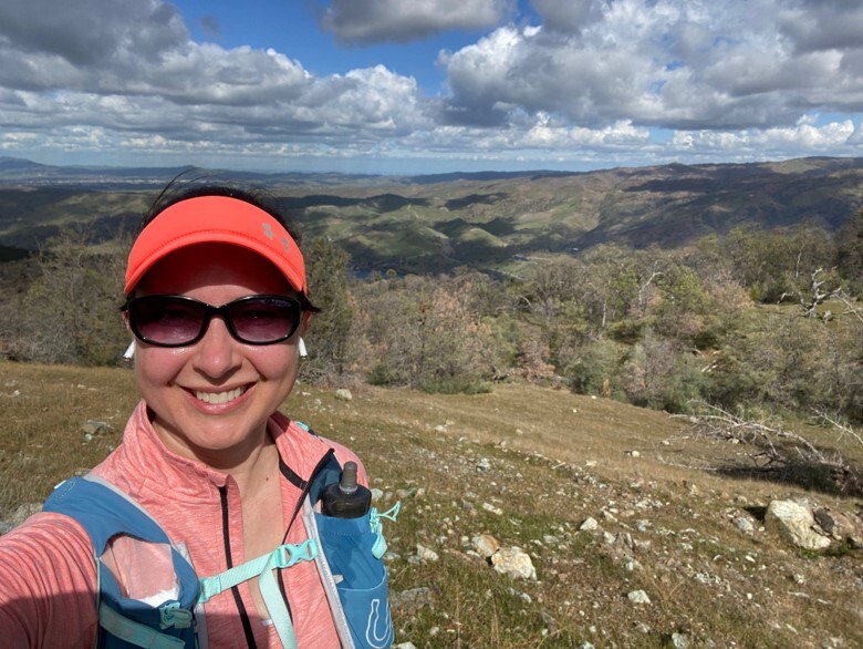
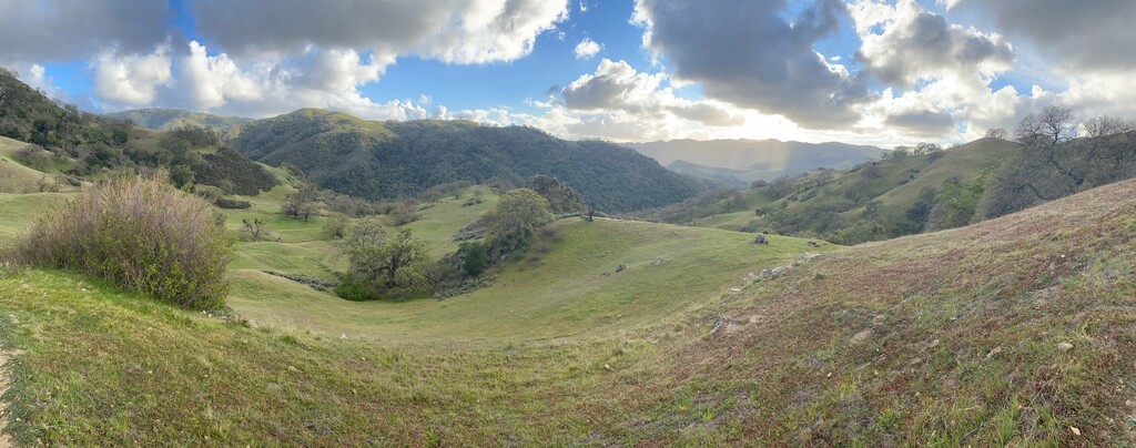
Images


Comments
I plan to run this on 4/3, unsupported.
I think this route should be folded as an alt-route into a route that covers the full trail, which is an iconic ~50K 1-way route with one of the more storied race histories.
see http://ohlone50k.com for the race which covers the full-trail
Full trail Queue Sheet https://www.ebparks.org/parks/ohlone#maps
Strava Route for Full Trail (~26.5 miles) https://www.strava.com/routes/2964627249051008346
Strava Route for Ohlone 50K route (which ensures tagging of Rose/Mission peak and takes you past Murrietta falls, and arguable better route) https://www.strava.com/routes/2964626682375973446
Note the originally submitted route does not follow the Ohlone Trail near the start correctly, it uses Canyon View instead of McCorkle in that section) while this route should be a shorter variant that shorter variant should be updated to take the official trail.