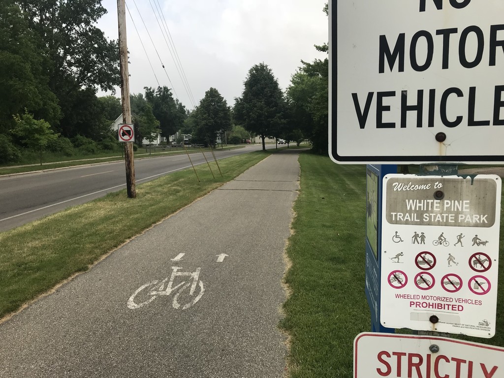
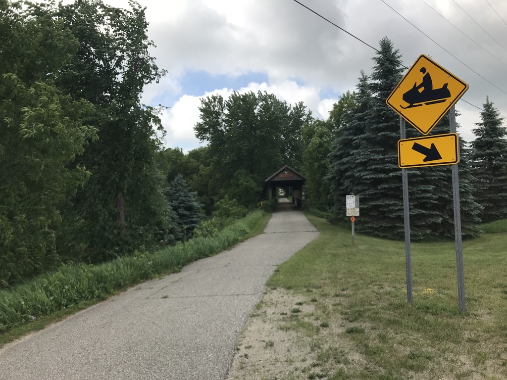
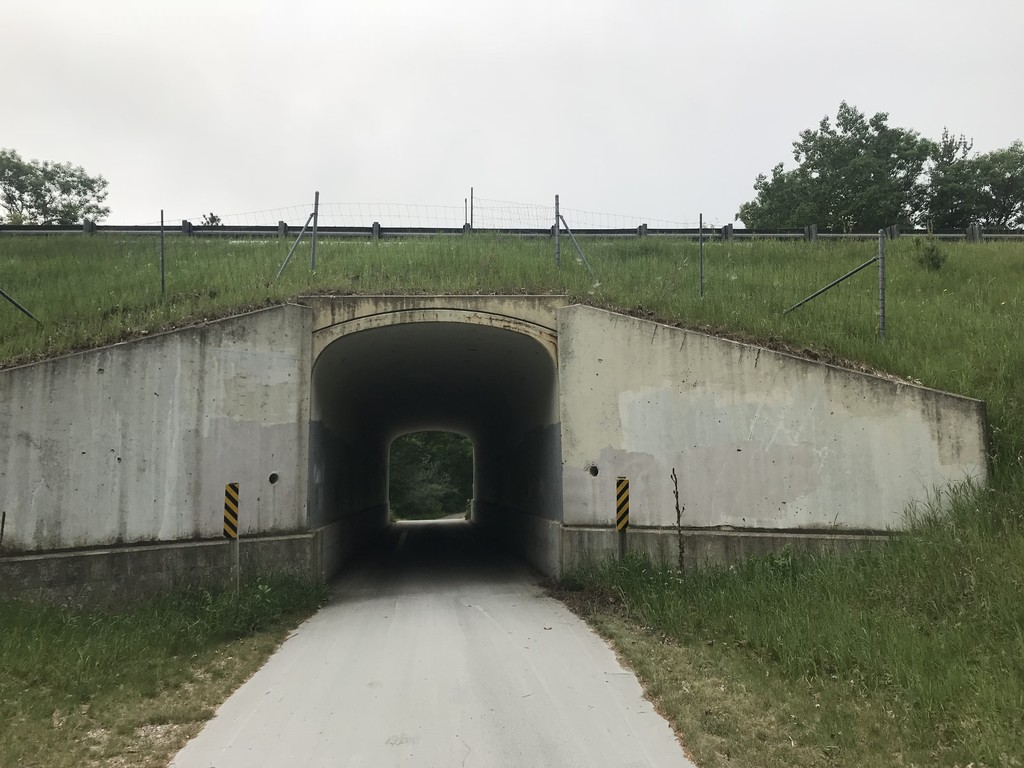
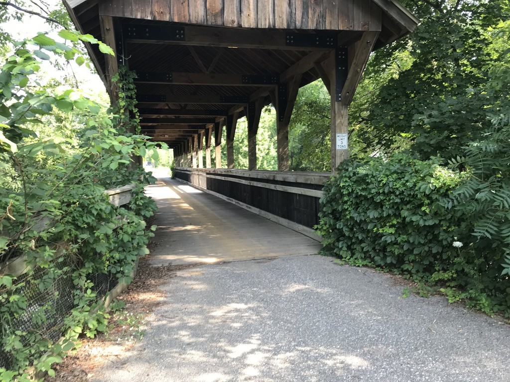
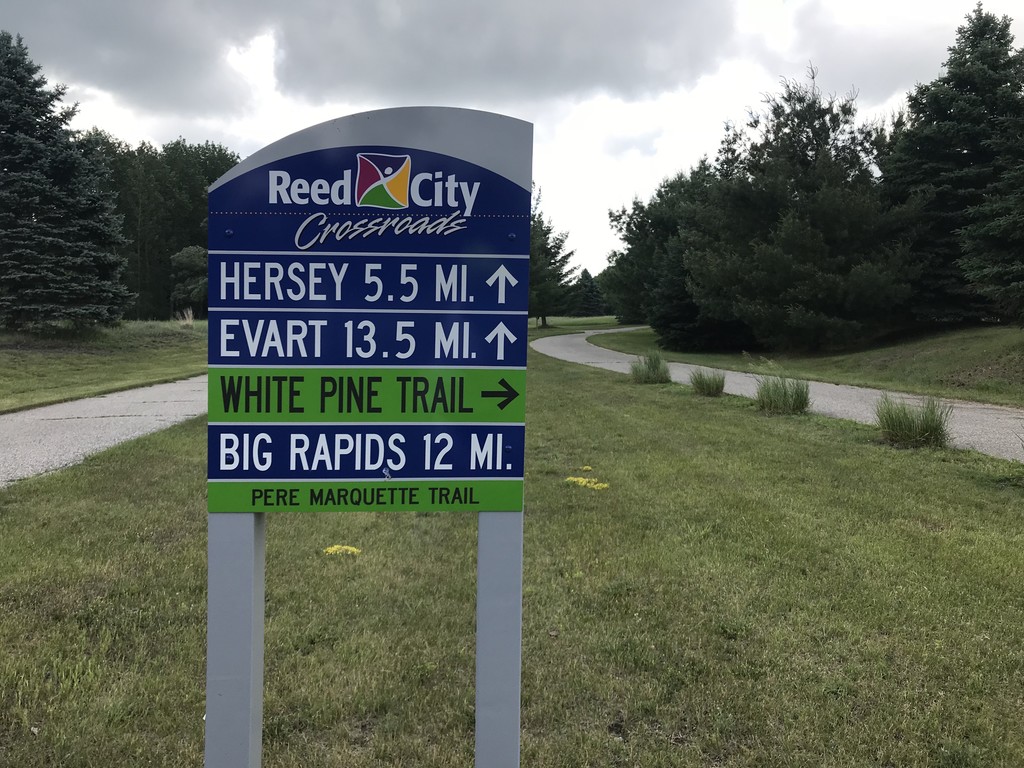
The White Pine Linear State Park is a 92-mile multi-use trail that runs from Cadillac, MI to the northern edge of Grand Rapids. It is the longest rail-trail in Michigan. The trail passes through numerous small towns so water and supplies are readily available, even though there is no motorized travel allowed and roads are usually out of sight and sound. It is a long, serene, flat, and rare opportunity to tour the mid-section of the "Rail to Trail" state.
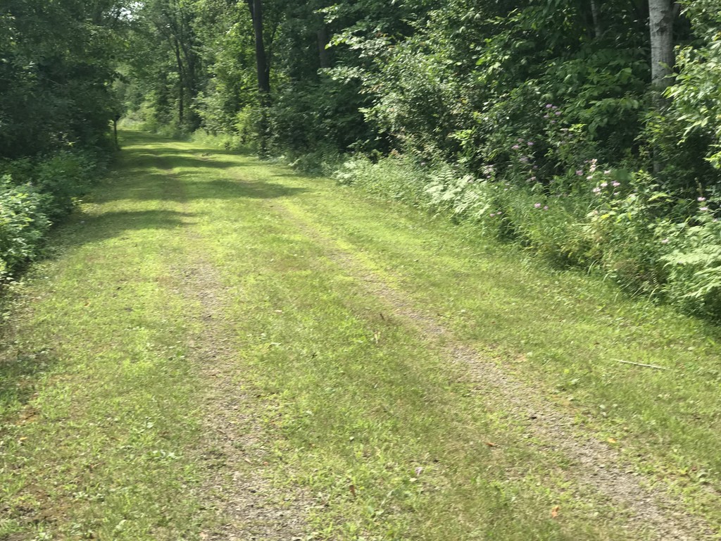
The trail surface is mostly asphalt, with the newest and smoothest being from Cadillac to mile 42 at Big Rapids; the 29.5 miles down to Sand Lake is natural ballast, hard-packed gravel, and some natural grass; from there to the southern terminus it is older paved asphalt. The northern terminus in Cadillac is well marked at the corner of Holly and State Streets. The southern terminus is where N Park St. meets the Grand River. The Friends of the White Pine Trail website below is a wealth of knowledge on the trail including mileage between cities, elevation profiles and trail surfaces.
http://www.whitepinetrail.com/trail-specific-information
https://www2.dnr.state.mi.us/parksandtrails/Details.aspx?id=508&type=SPRK
- Submitted by Josh Sanders
Comments
Does anyone know the FKT on a bike? I want to give it a try this summer.
I did a modified route in 5 hours and 18 minutes back in 2016 - but I had to detour from Cadillac to Howard City and Big Rapids to Sand Lake on paved roads to avoid gravel sections that were present at the time, and stopped at the North Park St terminus instead of the south end of Riverside Park as the route here describes.
However, exciting developments - as of May 2025, the entire trail is fully paved! Should be lots faster by bike now as you can ride skinnies with aerobars instead of needing a gravel bike.
I'd like to give it another attempt this summer - nothing scheduled yet, but I wish you the best of luck and hope to see you out there!