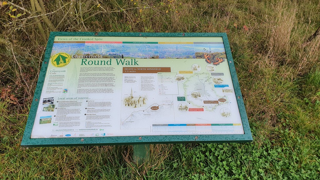
Location
United Kingdom
Distance
53 km
Vertical Gain
1,046 m
Description
GPS Track
chesterfieldround.gpx36.98 KB
FKTs
Male
| Will Leaning | 5h 36m 51s | ||||
| Steve Beck | 6h 25m 24s |
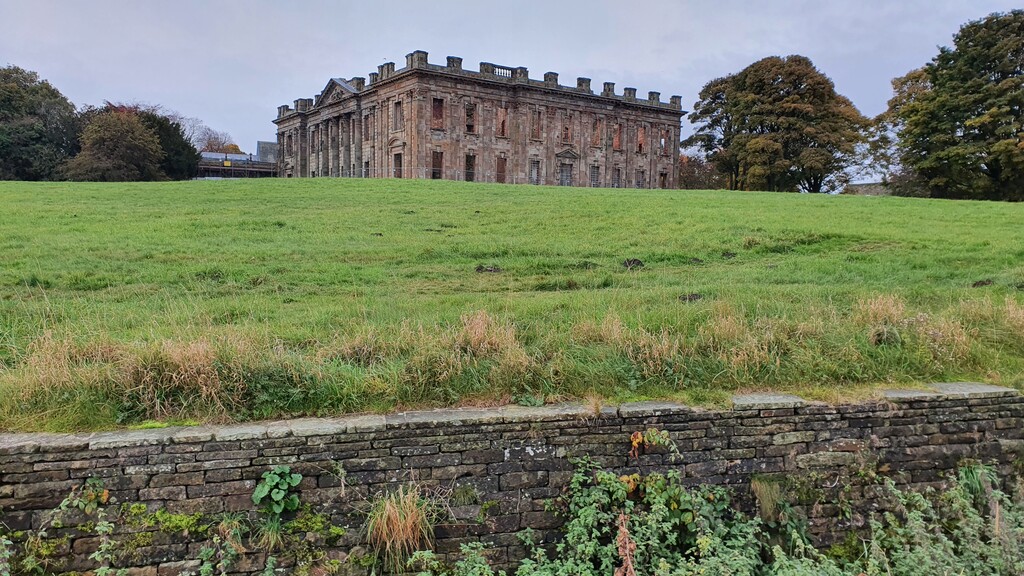
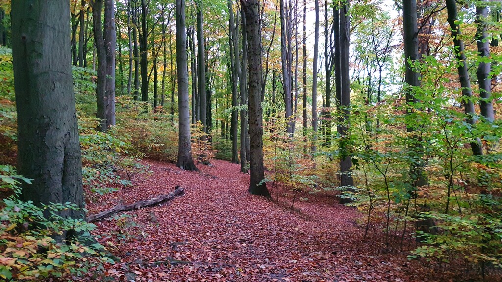
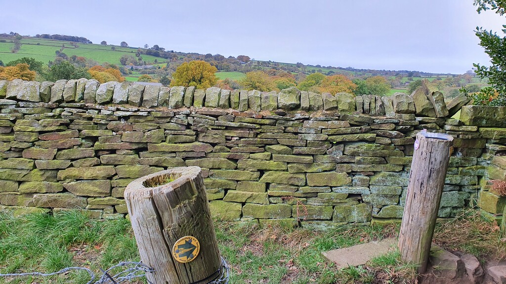
Images
Comments
Extended write up from my attempt on the 18th of Feb 2023 below. I may come back and give it another go next year but in the meantime I've got other routes to have a go at.
https://chasingthearbitrary.co.uk/chesterfield-round-walk/