Admin note: The time should start and end at a trailhead, even if you complete all of the trails before returning to a trailhead.
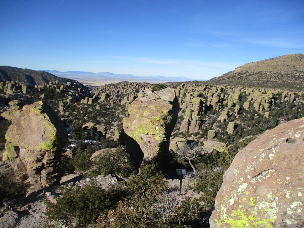
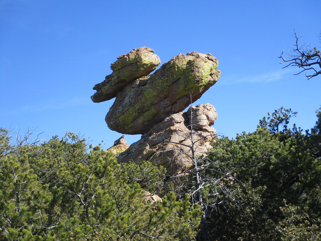
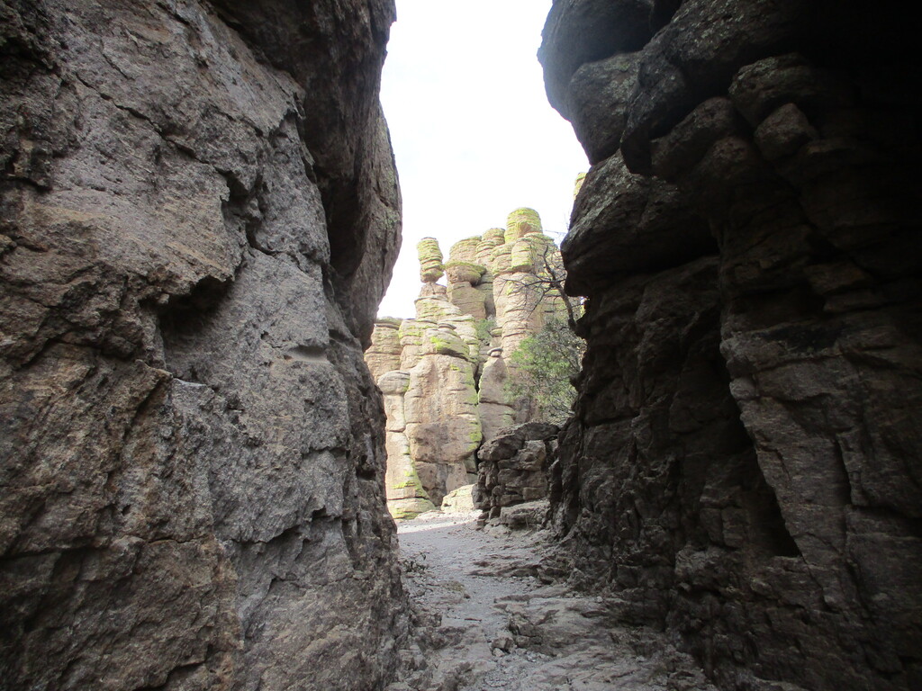
Chiricahua National Monument is a hidden gem in southeast Arizona. The trail system covers a variety of terrain and explores amazing rock formations and a natural bridge. It is a true "Land of Standing Up Rocks", worth exploring at any speed.
Park Site
The sky island elevation (5100-7300 feet) means the park is usually cooler than lower parts of the state, and the trails might be snowy/icy in the winter.
Run all trails on the park map, staying on trail or road the whole time - no cutting cross-country. Start at any trailhead, complete all of the trails in any order and direction, and finish at any trailhead. Use caution when running on the road.
The trail list includes Sugarloaf, Massai Nature Trail, Ed Riggs, Hailstone, Echo Canyon, Mushroom Rock, Inspiration Point, Big Balanced Rock, Heart of Rocks Loop, Sarah Deming, Upper and Lower Rhyolite, Natural Bridge, Silver Spur Meadow, Bonita Creek, and the spur to the Visitor Center
The park map is posted online - run all trails drawn with a dashed black line:
Park Map
The initial gpx file for this FKT proposal is a hand-plotted Gaia route based on several on-the-ground days of hiking. In particular, the Massai Point Nature Trail is only an estimate. There are multiple short cut-thrus and side trails around Massai Point; be sure to pass the Exhibits building on the north side of the loop and the 3 points of access from the parking lot as drawn on the park map. The trails from the Visitor Center to Bonita Creek should be mapped fairly well. No need to do the spur to the "Horse trailer parking" since it doesn't show up on the online park map.
From the park website, for anyone doing this completely unsupported:
A free hiker shuttle operates from September to May and takes hikers to the Echo Canyon or Massai Point trailheads. It departs from Faraway Ranch parking lot at 9:00 am and the campground restrooms at 9:10 am. Please sign-up for the shuttle in person at the visitor center the day before or morning of your hike. Shuttle is on a first-come, first-served basis.
Chiricahua National Monument is open year-round and does not charge an entrance fee.
The visitor center is open from 8:30 am to 4:30 pm Mountain Standard Time.
Rock the Rhyolite!
Comments
The rangers want everyone to park at Faraway Ranch Trailhead to de-congest the Visitor Center Parking. (Unless you are parked at the campground).
For shuttle parking
I'm hoping to make this happen tomorrow - looking forward to returning to this wonderful place