Location
Michigan,
US
Distance
54.55 mi
Vertical Gain
2,602 m
Description
GPS Track
activity_5467781146.gpx13.11 MB
FKTs
Male
Female
| Rob Peters | 10h 19m 17s | ||||
| Anthony Russel | 11h 21m 4s | ||||
| Rob Peters | 1d 1h 13m 6s |
| Andrew Broton | 12h 56m 59s |
| Angela Kessler | 12h 56m 54s |
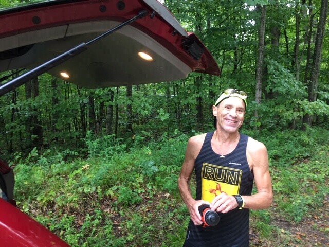
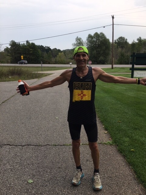
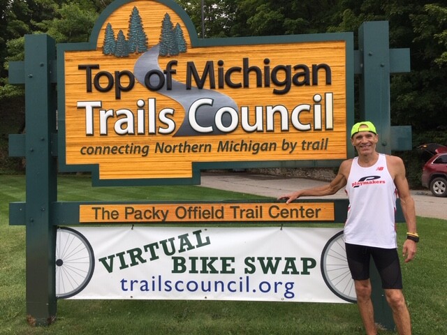
Images

Comments
This looks like an awesome route! Based on the pictures, it looks like someone ran the route, but there is no submitted time. Did the person who submit the route neglect to submit their own time? Regardless, thanks for creating this route. Looks fun!
I found Paul's email address online & contacted him. Apparently he did run this route, but hasn't submitted it. It sounds like that was a mistake on his part. Here is what he told me:
I found the link to his activity on strava too:
https://www.strava.com/activities/4129744933
I followed up with an email asking him if he was supported. Based on the pictures (he doesn't have a pack on), I"m guessing he was supported, but who knows? I'll try to add his response here. I encouraged him to officially submit his FKT here too.
I got another follow-up from Paul Anderson. I noticed the route he ran (and posted here) deviates slightly from the current route on the NCT website posted here (see link below). The deviation is from NCT mile ~576.4-580.6 (which was mile # ~29.2-33.4 in Paul's strava activity). The new route looks like it replaces about 1.5 miles roads (dirt?) with 1.5 miles of trail. Both routes look to have about the same distance. Paul sent me a partial picture of the old NCT map he used, but I can't see a place to add attachments in this comment box.
https://northcountrytrail.org/maps/mi_map_series_091_124_northwestern_l…
Here is what Paul said (important to note that his time is supported):
"Here’s the NCT map I used. The trail may have been re-routed(?). My wife drove support for me and met me every 5-10 miles so I just carried water and some back up fuel. It was great! I was the only one on the trail all day which was enjoyable but it would have been nice to see someone occasionally. I usually run alone so I was in my comfort zone."
I'm hoping to do this route this weekend as an unsupported 2 day (mostly) hike, but watching the weather.
PS. Regarding the deviation I mentioned above at mile 576.4 on the NCT, I looked at the satellite footage (and boots on the ground view) of the route on the NCT website and it doesn't make sense. It looks like it cuts through private property, there were no blue marks on trees and I didn't see a trail. I followed Paul's route and I recommend that for future users (unless the NCT organization makes their proposed route more clear). I hope to email them to ask.
My running partner Andrew Broton and I will be setting out next weekend to attempt this route. We will be recording individual attempts, and will be supported. We will be starting in Mackinaw City, heading towards Petoskey. We plan on following the current NCT maintained sections per the map files on their website.
I will be attempting this route tomorrow, unsupported, and heading north bound.
I have submitted this several times in different formats, but no luck. Rob Peters' info on my run is correct. It was fun and a beautiful route!
Paul, we'd be happy to get your FKT posted! Just fill out this form: https://fastestknowntime.com/submit-fkt
-Nathan Broom, Midwest regional editor
Going to be attempting this route Out N Back this weekend, likely starting on Saturday 5/27.