Location
Arizona,
US
Distance
7.2 mi
Vertical Gain
200 ft
Description
GPS Track
Red_Basin_Clam_Beds.gpx1.31 MB
FKTs
Female
Male
| Erin Ton | 52m 8s | ||||
| Marcy Beard | 1h 19m 40s |
| Dustin Rutter | 57m 34s | ||||
| Matthew Matta | 1h 18m 56s |
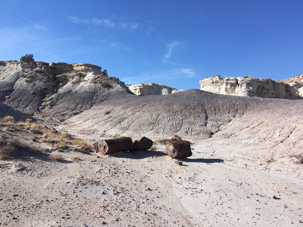
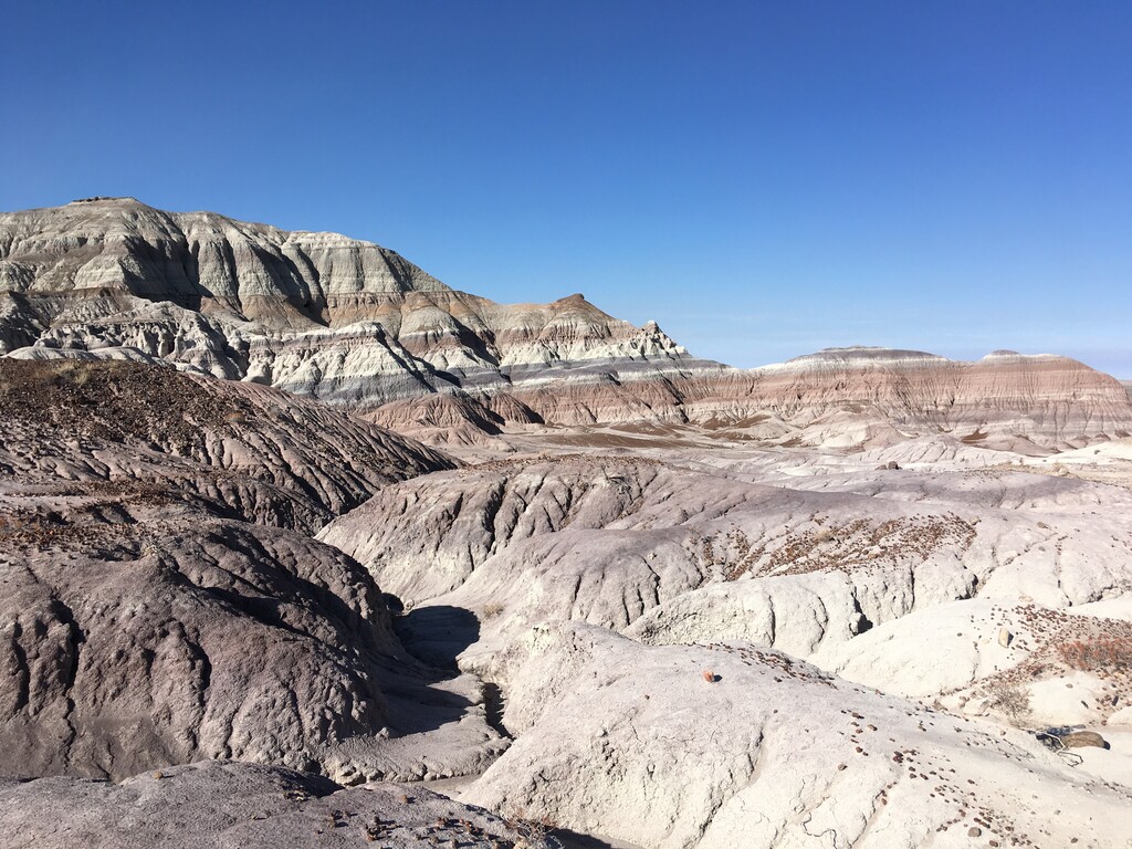
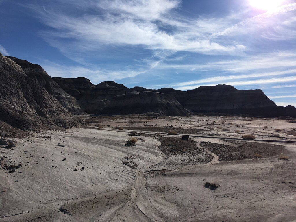
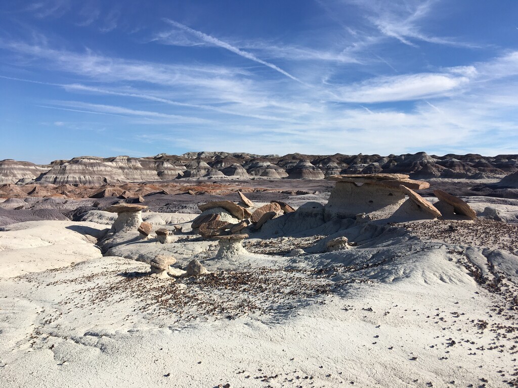
Images
Comments
Planning to run the loop this morning - this park is so fun to explore!