Route: Red Basin Clam Beds Loop (AZ)

Submitted by Matthew Matta on Sat, 11/27/2021 - 04:20pm
Location
Arizona, US
Distance
7.2 mi
Vertical Gain
200 ft
Description

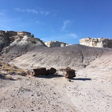
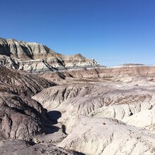
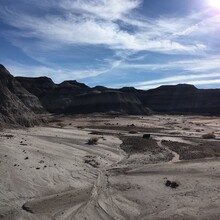
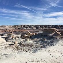
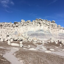
The Red Basin Clam Beds Loop is located in the southern half of Petrified Forest National Park in northeastern Arizona, off of Blue Mesa Scenic Road. The east side of this loop goes through cool hoodoos and other erosional formations. You can also see clam fossils in this badlands area, and walk right up to many petrified trees.

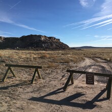
Start (and finish) the timing for this loop at the wooden barrier (pictured below) where the dirt road leaves the blacktop, though the official parking area is a 1/4 mile or so to the north. The very detailed park document on this route indicates that you can return through the grassland next to Blue Mesa, but Strava heat maps show that most people take the southern option back on the dirt service road.

https://www.nps.gov/pefo/upload/OTBP_Red-Basin-Clam-Beds_2018small.pdf

https://www.alltrails.com/explore/trail/us/arizona/red-basin-clam-beds

GPS Track

Comments

User Picture
Profile picture for user marcy_beard

Planning to run the loop this morning - this park is so fun to explore!