Route: Scenic State Park Loop (MN)

Submitted by Matthew Matta on Sat, 03/20/2021 - 09:15am
Location
Minnesota, US
Distance
8.5 mi
Vertical Gain
470 ft
Description

I’ve been trying various combinations of loops in Scenic State Park for the last few years. I believe this loop shows off the best of what this park has to offer.

My main criterion was that any loop in the park would have to include both the Fire Tower Trail and an out-and-back on the Chase Point Trail. Chase Point is a glacial esker. An esker is a ridge formed as a glacier melts. Rivers form under the glacier and deposit rocks and soil in the channel. The Chase Point esker is an excellent example of an esker as it is the only ground above the level of the lake. The effect is that you’re running on a beautiful peninsula covered by pine trees that goes almost a mile out into the lake. Chase Point is the most popular trail in the Bigfork area.

The rest of this loop goes around the west side of Coon Lake, then up to the fire tower on the north end of the park. This is the highest point in the area and provides an excellent view to the south. Then you loop back on the west side of the park on singletrack and snowmobile trails, past Tell Lake, and back toward the Chase Point Trail. You can park at the Chase Point trailhead, at the Chase Point Campground, or farther north by the Lodge Campground. If you go during the week or early in the morning you have a good chance of having the entire park to yourself.

GPS Track

Comments

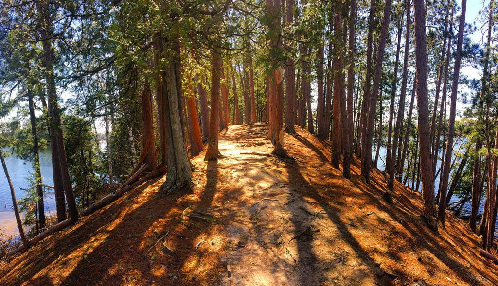
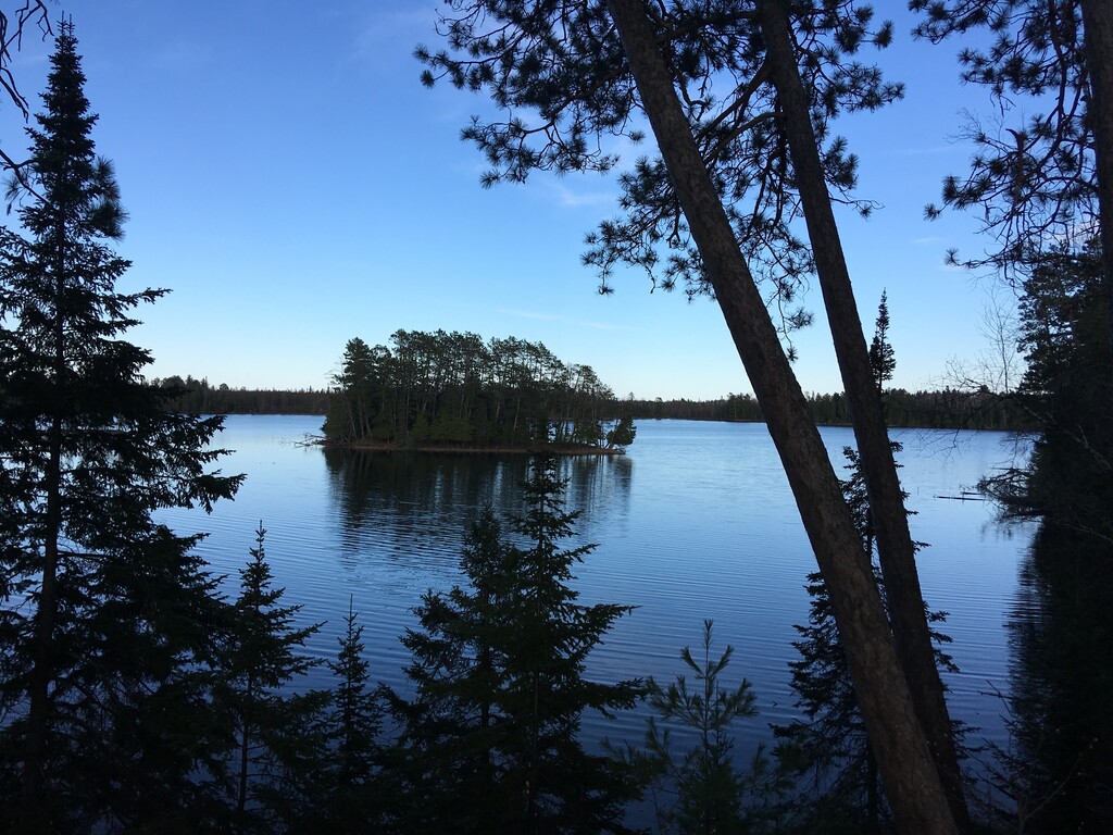
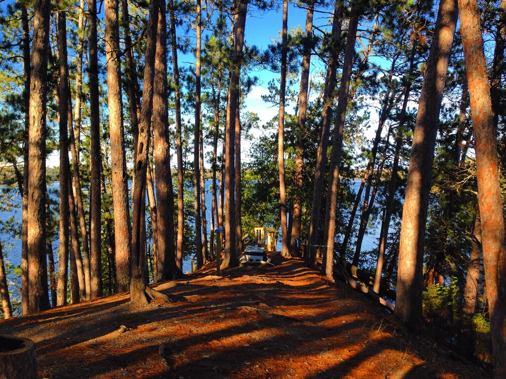
Definitely a "scenic state park!" I had never visited northern Minnesota and always wanted to. Nice route. I didn't have bug spray and ended up getting eaten alive on the northwest side of this route. The other parts weren't too bad. The esker out and back is very cool! Campground is excellent; I was in site # 4: easy access to the boardwalk along the lake, clean bathrooms, friendly woman working the park office!Â