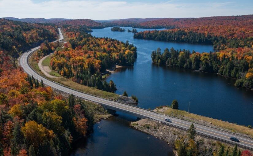
Location
Ontario,
CA
Distance
56.58 km
Vertical Gain
657 m
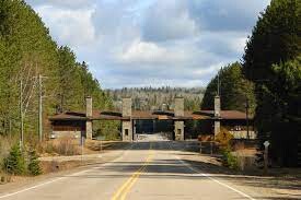
Description
GPS Track
KLR Gate to Gate Ultra.gpx69.71 KB
FKTs
Female
Male
| Katelin Barkey | 4h 43m 43s |
| Gerwina Pollmann | 5h 59m 4s |
| Jakob Brooks | 5h 13m 7s |
| Siggi Casson | 5h 59m 19s |
Images