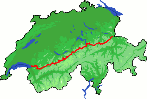
Location
Switzerland
Distance
390 km
Vertical Gain
23,500 m
Description
GPS Track
Via_Alpina_complete.gpx52.41 MB
FKTs
Male
Female
| Diego Pazos | 3d 7h 36m 0s |
| Wouter Berghuijs | 4d 7h 9m 0s |
Images
Comments
I'll be attempting the Via Alpina from 14/08/2020 and aim to start around noon.
Tomorrow Wednesday, 16.09.2020 I will attempt to run the Via Alpina across Switzerland (390 km / 23500+ vert) in sub 100 hours from Vaduz/Gaflei to Montreux. I will be self-supported (solo/no crew) carrying all my gear and nutriton along the way on my back. I will start roughly at about noon.
This year has been a crazy ride to say at least in many parts of my life. I never needed or have I asked for reasons for doing the things I do but several incidents showed me once more what it means to be a healthy white man born into a loving family in the heart of Europe. I never used my abilitys to change the world for the better and I know that this will be a very small contribution, but it is a start. Nevertheless I reach my goal or not, every € donated will go directly to the organization.
https://www.facebook.com/htmatthiaskodym
I will give it a try starting today despite exceptional snow conditions. Let's see how far the Via Alpina can bring me :)
https://laura-kok.legendstracking.com/
Best of luck, but as you say there is plenty of snow left. I think currently above 2500 m things get problematic.
It is a DNF. Big respect for everyone finishing this trail in such fast times, truly exceptional achievements.