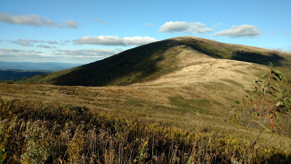
The Roan Mountain Highlands are often voted the favorite section of the Appalachian Trail by thru hikers and section hikers alike. Unlike much of the southern A.T. known as the "Green Tunnel", the Highlands offer summits which provide unhindered views of the mountains of east Tennessee and western North Carolina.
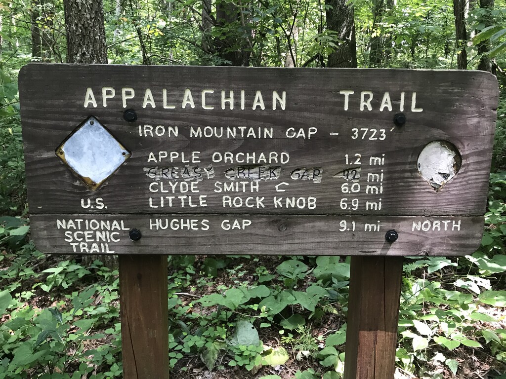
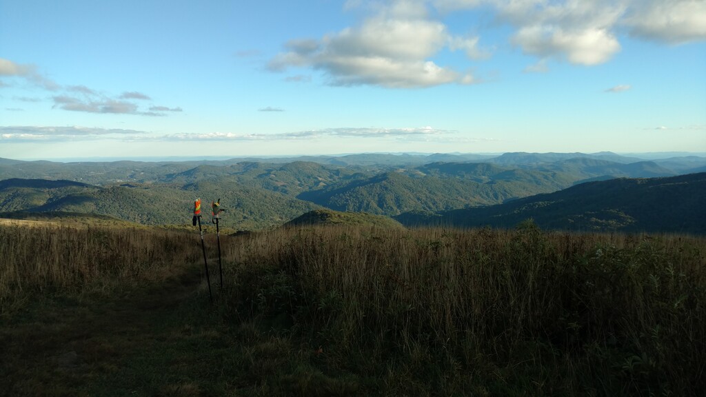
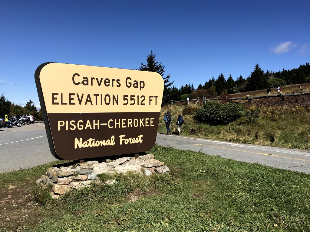
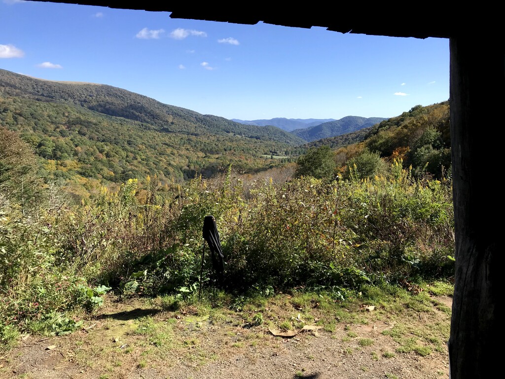
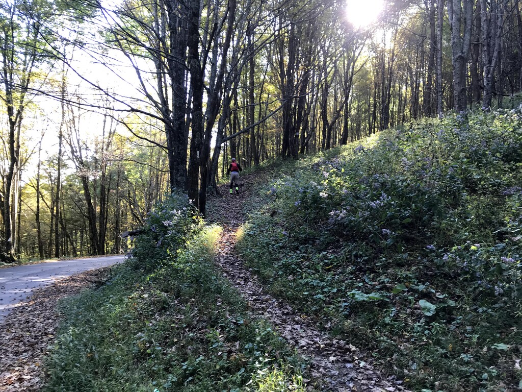
If heading north bound, the route starts off where the A.T. crosses Hwy 226 at Iron Mountain Gap (about 3700 feet) and wanders along the ridge lines gaining twelve hundred feet before dropping to 4000 feet at Hughes Gap. This first nine-mile section is VERY runnable and became the inspiration for our FKT attempt after we first hiked it in 2019. From Hughes Gap the route quickly gains 2200 feet up Roan Mountain, passes the highest trail shelter on the entire A.T., and then drops to the popular and beautiful Carvers Gap (5512 ft). The route over the next two balds (Round and Jane) is extremely popular with day hikers, and then the solitude of the A.T. takes over again as the trail winds through the forest and down to Yellow Mountain Gap, site of the iconic Overmountain Shelter (The Barn) and the junction with the Overmountain Victory Trail (Revolutionary War era). Departing the Barn, the trail climbs through the Yellow Mountains and delivers you to the "humps". Little Hump and Hump Mountain are mostly balds with a vertical fall line style trail, but the views from their summits are second to none in the east. From the last summit on Hump Mountain (5589 ft), the route drops back into the forest and winds its way down about 2700 feet through Doll Flats and then the draws, switchbacks, and traverses of Wilder Mine Hollow to the trail crossing at Hwy 19-E (2880 ft). Burgers, pizza, and beer await the exhausted adventurer at local establishments that are found along the roadway nearby.
Five Summits, elevations, and ascent [NoBo/SoBo], in order south to north:
Little Rock Knob 4908 ft [733/836]
Roan Mountain 6216 ft [2164/704] (trail does not pass over Roan High Knob)
Roan Balds (Round/Jane/Grassy) 5902 ft [390/1222]
Little Hump Mtn 5454 ft [772/494]
Hump Mountain 5589 ft [627/797]
Water – the shelters are the most reliable but are off-trail (distance from Iron Mountain Gap)
Near the Apple Orchard (1.2)
Clyde Smith shelter (6.0)
Roan Mountain ascent (~13)
Roan Mountain shelter (~15)
Roan Mountain descent (~16)
Stan Murray shelter (19.7)
Overmountain shelter (21.6)
Descent to 19-E (27-28)
There is no water at Carvers Gap, or in the balds or humps, and water is spotty elsewhere.
Due to the large variations achieved from GPS for distance and elevation gained I have used the published values found on the Appalachian Trail Calculator. https://www.atdist.com/
For summit elevations I used MapMyHike.com (which is not accurate for distance on this route).