The route is a loop course around the city of Karlsruhe; app. 31km long and flat (80m of elevation, mostly from bridges crossing streets).
It is a variation of the NaturRADtour Karlsruhe:
https://www.karlsruhe-erleben.de/en/freetime/cycling/naturradtour
As the NaturRADtour is a bike trail I did a few changes to hopefully make it a better running route:
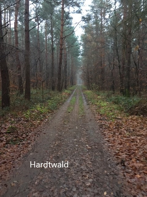
- The northern stretch runs now a little further up north, so there is a longer stretch in the forest Hardtwald and there is overall much less traffic to run in
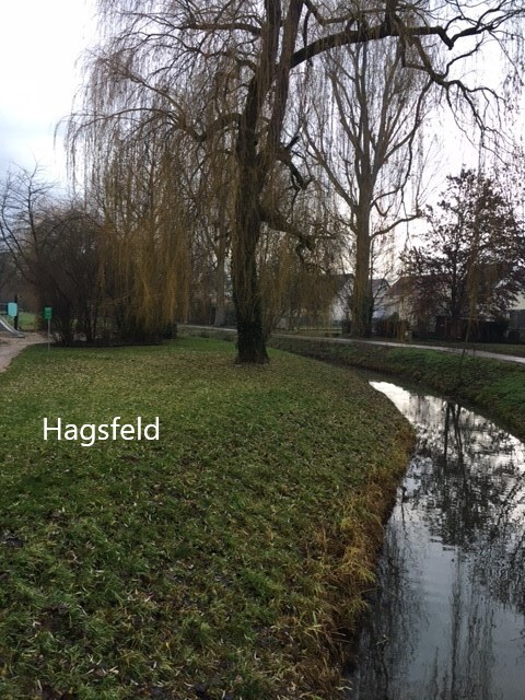
- Once you reach Hagsfeld you can run for the most part along the creek there, you neither have to cross highway A5 twice
- Overall there are less major intersections and they can be crossed via bridges for the most part
- The southern stretch – along the Alb river and one of the highlights – is now longer, as you reach it a little earlier and run alongside the river all the way until Knielingen. Therefore you spare the section running through the industrial harbor area.
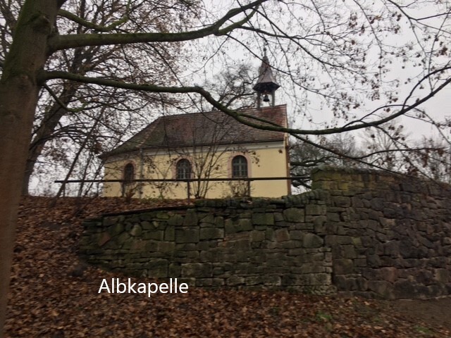
- As for the original tour you can take a detour to the castle if you like
- If you want to run to the castle you can still do this, best from the norther part (Hardtwald). As it is an out and back it is not part of the 31k loop here.
So the route runs along many popular running sites in Karlsruhe such as the Hardtwald and the Alb River. The route is a mix of trails and roads (usually bike or walking paths). There are few main roads to be crossed, most of them via respective bridges.
The route can be accessed at a variety of different places. The direction does not make any difference. The are many parking areas or opportunities for reaching it via public transport incl. the Karlsruhe main railway station.
A few details:
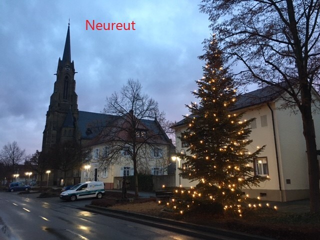
The northern part passes Neureut, the forest Hardtwald, Waldstadt and Hagsfeld.
The eastern part - a rather busy as industrial part of town - passes Oststadt and the main railway station of Karlsruhe, before it reaches the Alb River. The main railway station would be the best starting point for runners from out of town.
The whole southern stretch is alongside the Alb River (app. 11km) which is part of a variety of German and European biking and hiking trails. It is a popular recreational and running area. For the most part it can be run on both sides of the Alb River.
The western part completes the loop passing through Knielingen and going up north back to Neureut; this is alongside the Rhine river which is further to the west, the Rhine river wetlands can be seen from the distance.