Route: Bald Mountain A (CO)

Submitted by bwherring on Sat, 08/22/2020 - 01:32pm
Location
Colorado, US
Distance
10 mi
Vertical Gain
3,080 ft
Description

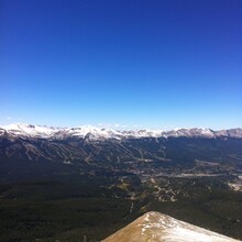
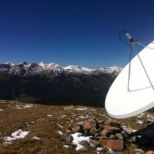
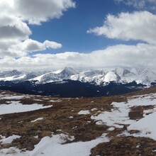
The prominent summit on the east side of Breckenridge clearly visible from the ski resort, Baldy offers terrific views of the Tenmile Range to the west. It sees a lot of winter traffic for backcountry skiing and summer traffic for hiking. From the main trailhead at the end of Baldy Rd, ascend an old mining road up to the Iowa Mill. Here the road turns into switchbacks ascending to the ridge line. At ridge line, the road peters out eventually terminating at a collection of satellites and broadcasting equipment. Here the ascent becomes a ridge run over a series of false summits. True ridge line can be run at class 2+. 

The FKT route is to the true summit.  There are Strava segments for the up & down, ascent, and descent.

I've run this route a couple times over the years, most recently on 8/19/2020. I summited in 1:08:53 and went TH to TH in 1:55:01. My phone died on this occassion. The photos I included are from a fall summit years back. There is a Strava segment for the ascent and the roundtrip. Below is my strava file of my most recent attempt, run from my house. As far as I know, my last attempt is the FKT for the ascent and the roundtrip.

https://www.strava.com/activities/3937469816/overview

GPS Track
Images