Route: Bellingen - Point Lookout

Submitted by Klegge on Thu, 01/21/2021 - 11:51pm
Location
New South Wales, AU
Distance
72 km
Vertical Gain
3,600 m
Description

The "Down" version starts at the cairn at Point Lookout Carpark this routes makes its way down Robinsons Knob Trail before heading onto Horseshoe Road and eventually Scotchmans Range Road to the Bellingen War Memorial. All trail besides the first section of bitumen from the carpark with sensational views along the way.  Despite being a net downhill, there is still ~2100m of climbing.  The reverse "Up" version has ~3600m of climbing.

Traditionally the route was established to open up the escarpment to the trade route to the East and allow export of timber and Ore from the mine in the upper Bellingen catchment before it ceased operating many decades ago. Since the inception of New England National Park and the maintaining of Robinsons Knob Trail both the Bellingen to Point Lookout and the reverse have become consistent long run attempts in the local community. Primarily because it is one of the longest Point to Point trail runs in the area, and also because of the iconic start/finish location at Point Lookout, which is the highest prominent point in the geographic area.

Note - there is no water on the route besides a couple of natural sources, that are usually reliable here and here

Images

Comments

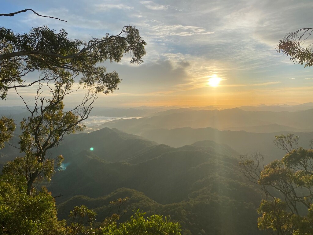
Leaving from the beginning of Scotchman Range Road on the edge of Bellingen, this is a gorgeous run along the top of the Scotchman Range via Hospital Range Road and Horseshoe Road, bringing you first to the spectacular Mt Killiekrankie lookout, then onto the even more spectacular Point Lookout, one of the highest points and best views in the region. Then back down the hill and you're done, literally and figuratively :) 

User Picture
Profile picture for user Keelan Birch

.