This route crosses over every type of terrain Greater Boston has to offer. It starts in the center of the city at the highest point in Boston Common. Over its 35 miles the route has ocean side paths along Boston Harbor, a graffiti kingdom at Quincy Quarries, lowland marshes, winding single track along the Neponset River, Harvard’s Arnold Arboretum, and the hidden urban trails of the Emerald Necklace. Sandwiched in the middle of this route is the most technical 7.5 mile stretch of hills and trails in Eastern Massachusetts, the Skyline, that reaches the summit of Great Blue Hill; the highest prominence, south of Maine, from which you can see the Atlantic Ocean.
The run begins and finishes on Flagstaff Hill, the highest point in Boston Common, right in the heart of the city.
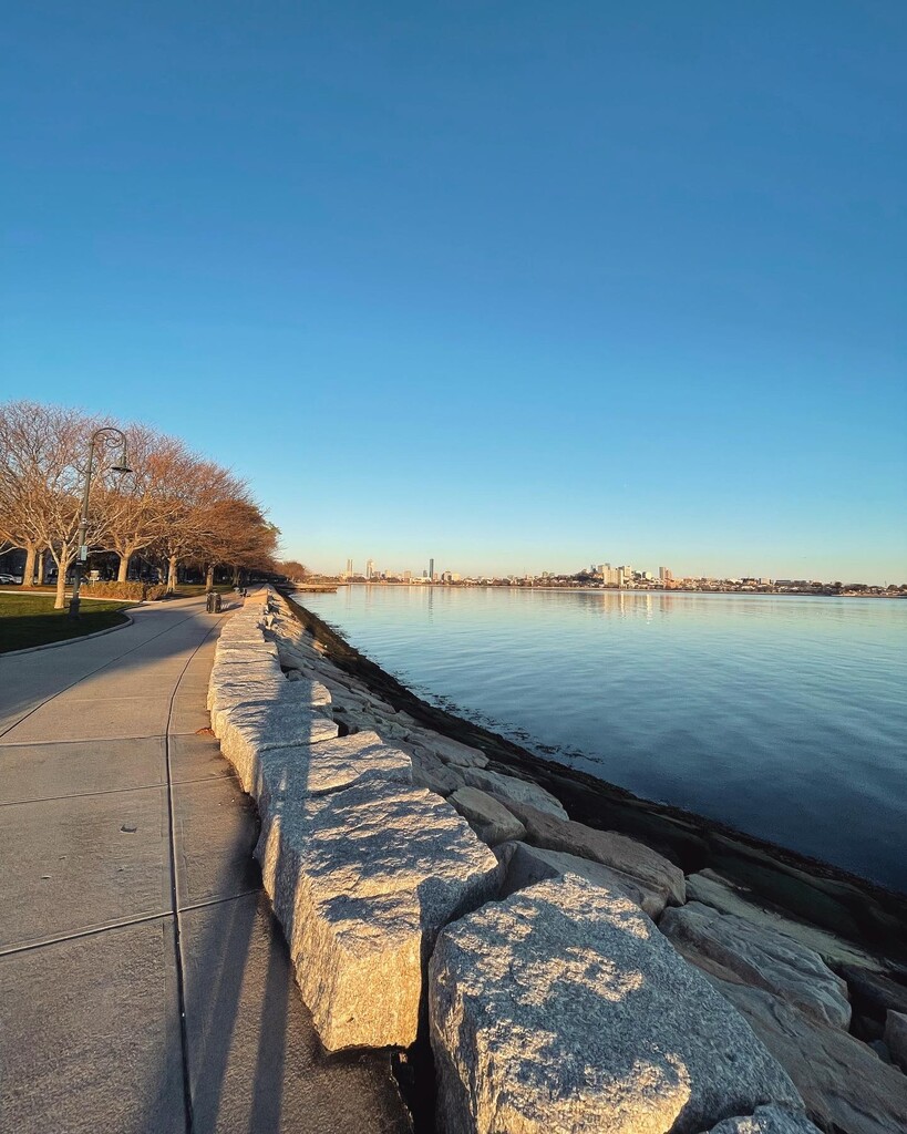
After departing downtown the route hugs the ocean for a few miles on the famous Boston Harbor Walk. Next is Morrissey Blvd past the iconic rainbow water tower, and then through Dorchester into Quincy. After crossing over 93 you’ll run through a neighborhood that leads to the base of the oldest railway in the country, which climbs up to the Quincy granite quarry and the start of greater Boston’s most demanding trail.
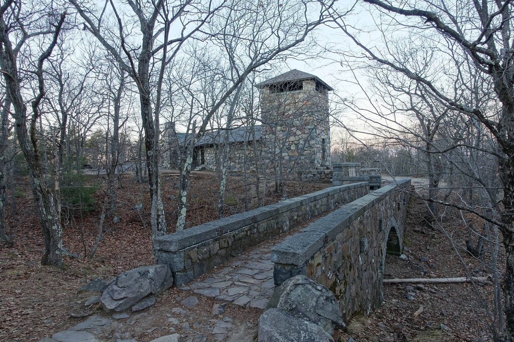
Blue blazes guide you across the dozen or so peaks on Skyline Trail. The high point is the 635-foot Great Blue Hill, on top of which sits the oldest continually-operated weather observatory in the U.S., and arguably the most stunning view of the Boston skyline, some 13 miles north as the crow flies.
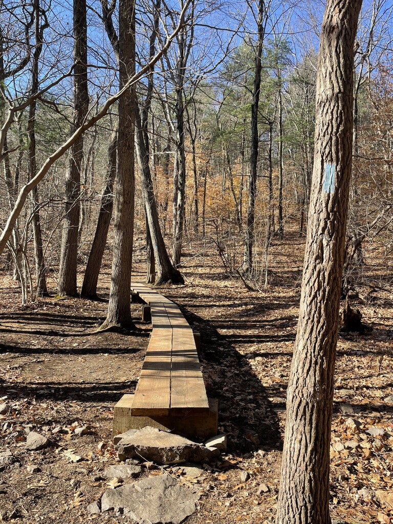
From there, the route descends a viciously steep set of rock slabs to the end of Skyline and into Fowl Meadow, which as the name suggests has a lot of birds who call it home. The grassy path follows the Neponset river back within the Boston city limits.
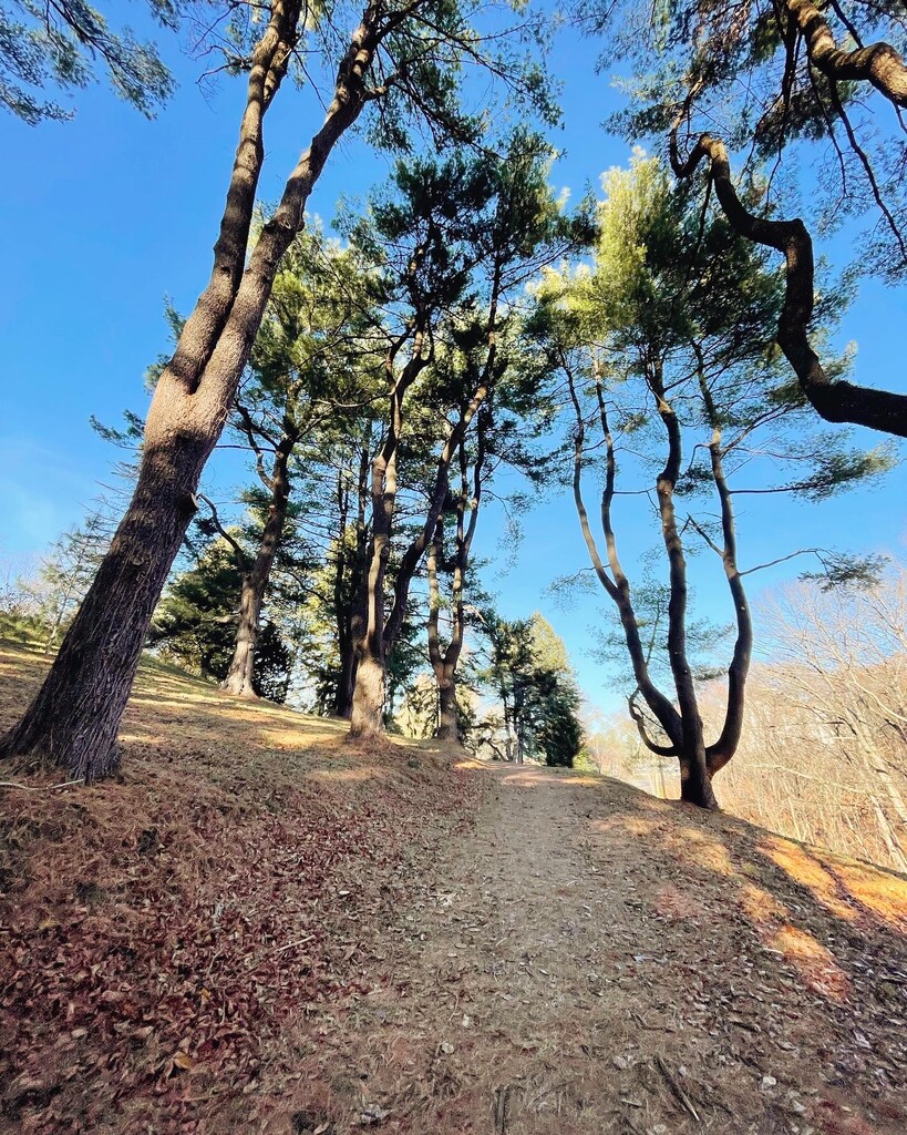
Burma Road is the end of the Blue Hills and the last stretch of dirt for a time, as the route then wound through Readville and across a footbridge over Mother Brook, a canal dug by English settlers in the 1600s. Stony Brook Reservation is next— a large forested urban park with a mix of dirt and paved trails. You’ll pass the marathon mark partway through the park with 10 miles still to go. Though the terrain is rolling, the elevation gradually has a net increase through the park. You’re rewarded at the end with a spectacular view of Boston from the top of Bellevue Hill and will descend almost a mile back down into Roxbury to get to the Arnold Arboretum.
The trail through the arboretum is a highlight of the day— a springy wood chip path through spectacular trees, including the beautiful metasequoia, a redwood that loses its needles in the winter.
After the arboretum you’ll run on the Emerald Necklace, a string of parks thronging the city of Boston that was designed by Frederick Law Olmsted of Central Park fame. You’ll run along Jamaica Pond and through Olmsted Park and the Riverway. The Back Bay Fens are next. That is where it is very noticeable that you are back in the city; the Prudential Tower and other tall buildings become visible as you make your way towards them.
The home stretch is Commonwealth Ave, a flat straight shot with a greenway down the middle for pedestrians. A quick run through the Public Garden and into the Common and you’re back up Flagstaff Hill to the finish!
From City, to Sea, to Summit! A true bucket list route for any Boston ultra runner! The variety of scenery and terrain make it pass quickly, and the many historical features along the way kept it really interesting mile to mile.


Comments
I’ll be going to try and set the bar for the male supported time next Saturday 7/22/23. Looks like a fun route!
If you end up doing it/did it let us know, would love to see what standard is set! Does look like a very cool route.
Yeah I did end up doing it last Saturday. I finished at about 6hrs and 1 min and I think it is still under review by FKT. It was a very fun route for sure and I liked all the variety. It was my first time through Blue Hills and I definitely underestimated those trails. With the recent rain the rocks were very slippery and dangerous. Had to go pretty slow through that section. I wore road shoes the whole time which didn’t help. I would suggest either switching shoes before the trail section or just wearing trail/hybrid shoe the whole time. There were some other parts of the trail that were a bit overgrown but nothing too crazy. Definitely would recommend the route!