Route: Boundary Waters Traverse (MN)

Submitted by AlexanderFalconer on Thu, 05/20/2021 - 11:00am
Location
Minnesota, US
Distance
110 mi
Vertical Gain
18,000 ft
Description

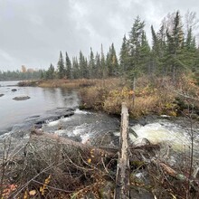
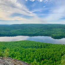
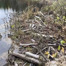
The Boundary Waters Traverse links the two main trails through the heart of the Boundary Waters Canoe Area Wilderness: The Border Route Trail and the Kekekabic Trail into one roughly 110 mile journey through the heart of the Boundary Waters. With a total of around 18,000 feet elevation gain throughout, the traverse enjoys scenic views over lakes looking over Canada, winds through old growth red and white pines and white cedars, crosses beaver dams and logs that serve as bridges, and more. A more complete description of each segment can be found on their respective route pages.

GPS Track
Images