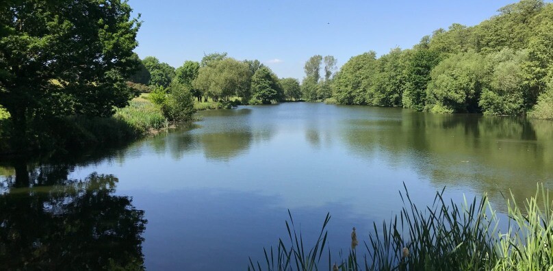
The Box Valley is one of the most scenic of the tributary streams that flow into the River Stour.
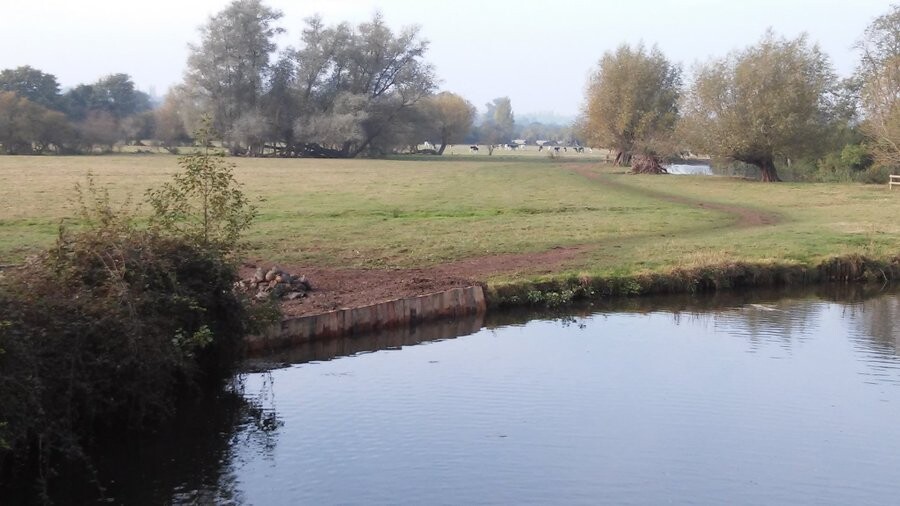
The circular trail is 14.5 km taking you from the village of Stoke by Nayland through the main village of Boxford. The trail is neither flat nor hilly - more rolling. Some of it can be overgrown and boggy depending on time of year.
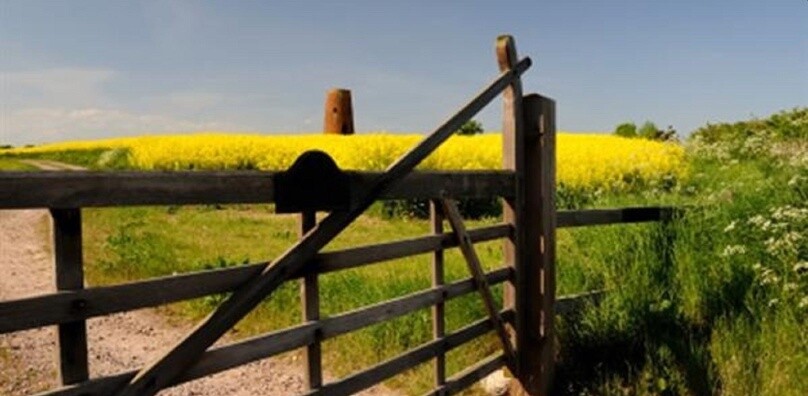
The route is full of rolling countryside and a variety of wildlife.
Stoke by Nayland has a magnificent hilltop 15th century church set in this village of timber framed houses. Its 120-foot tower was depicted by John Constable (1776-1837) dominating the landscape for miles around. The village and church were financed by the wool trade. The large (8ft x 3ft) boulder at Scotland Street is thought to be an “Erratic Boulder”, reminding us of the carrying force of the glaciers that shaped these river valleys.
One of the most spectacular finds nearby is Tendring Hall, one of England’s lost country houses. Here lie the remains of a 110-hectare landscape park which was laid out in 1791 by Humphrey Repton. The Rowley Wood Community Nature Reserve resides on the land and is now home to a variety of species of plants, insects, and animals like nightingales, grass snacks, stag beetles, and grass snakes.