Distance: 17.2 miles
Elevation Gain: 3,100 feet
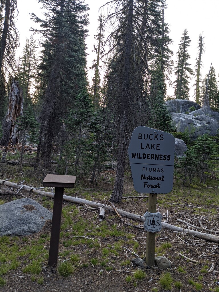
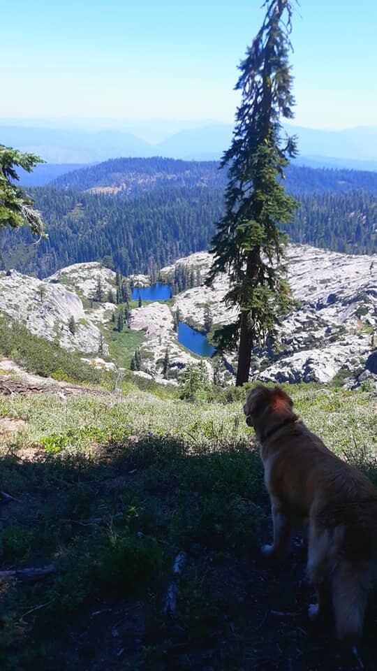
The Bucks Lake Wilderness is located in the northern section of the Sierra Nevada Mountains and encompasses a whopping 21,000 acres.
From the Plumas National Forest Website:
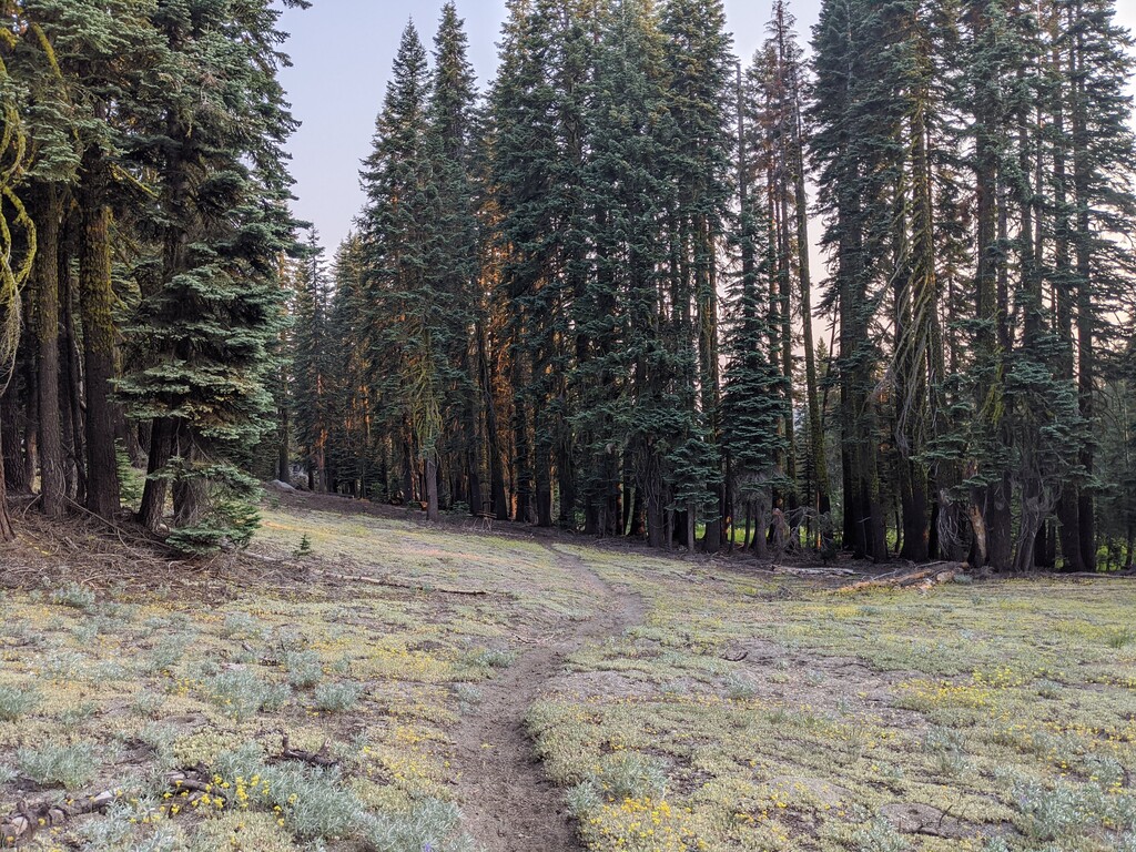
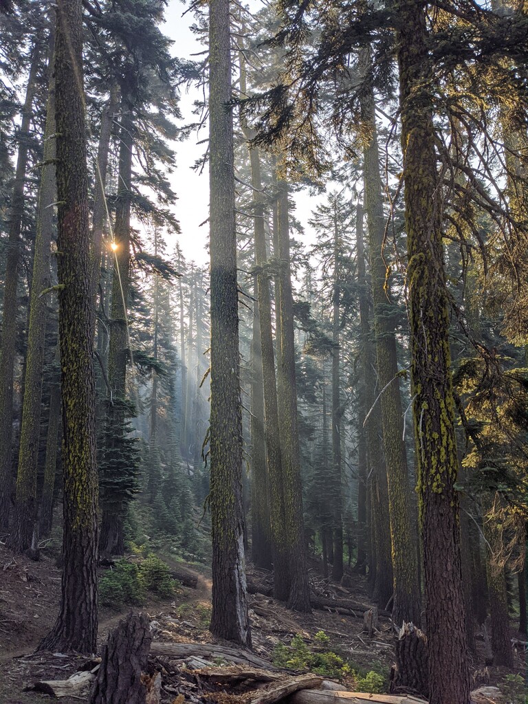
“The Bucks Lake Wilderness has a broad diversity of topography and vegetation. Ground cover varies from brush fields to conifer stands, oaks and pure red fir stands. Several small lakes are scattered across the eastern portion of the Wilderness. Along the western slope are small meadows and quaking bogs hidden among the dense stands of red fir.”
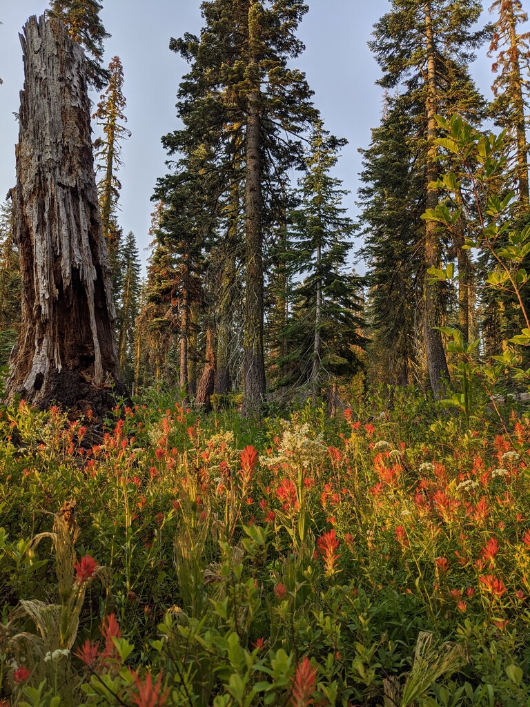
The loop also incorporates sweeping views of beautiful subalpine lakes and granite escarpments on the Pacific Crest Trail. During the late spring/early summer seasons, you will find the small meadows to be lush with plants and rife with wildflowers, including paintbrush, lupine, penstemon, columbine, and leopard lilies amongst many others.
The route is described going clockwise starting at the register for the Mill Creek Trailhead. You can start wherever you want, you must finish in the same spot. You can go either direction (whichever is faster!)
Starting at the register, head North along the Mill Creek trail for about 3.5 miles until it ends at the Pacific Crest Trail. Turn right on the PCT and follow it for 5.3 miles until you come to another intersection. Take the trail to the right at the sign labeled "Right Hand Branch". This trail will take you down some fun switchbacks and along the Northeast shore of Bucks Lake. Cross Mill Creek on the big log. At approximately mile 16.7, you'll end up on the dirt road that you drove in on. Follow the road for about 0.5 miles until you see a signpost leaning against a tree that says "TRAIL". Veer off the road to the right at this sign. Follow the trail for the last ~0.5 miles until you return to the Mill Creek trail register, and you're done!
Getting There:
Trailhead coordinates: 39.9355384, -121.1929197
The trailhead is several miles back on a dirt road. The road is passable with a two wheel drive vehicle.

Comments
Hi! I will be attempting this run tomorrow, looking forward to it, perhaps a FKT!