Welcome to Camp Tuscazoar – Ohio's Most Historic Camp. The camp is open to the public, but check the website for hours and details first.
30+ miles of hiking, biking and horse trails wrap around this 850-acre forested camp located in east-central Ohio. The camp hosts community events throughout the year, including several races. Mounting biking, running, horse riding, camping and orienteering events are regularly scheduled.
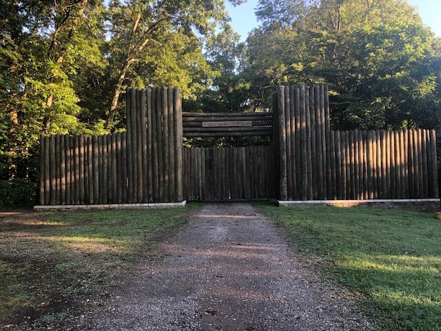
It would take days if not weeks to fully appreciate what this camp has to offer visitors. This 6.5 mile route connects many of the camp’s points of interest in one loop. Points of interest visited: The Stockade & Totem Pole / The Camp Museum / Pioneer Point / Troop Cabin #5 / Dover Dam / The Buckeye Trial / The Wall / The Zoarite Mine / Buzzard’s Roost / Troop cabin #1
I love to run this year round, but each season brings something special to the route. Late winter in the valley of Icky’s Punch the snowmelt makes a beautiful ice wall over the creek rock faces. Mid spring, the flowers are blooming while the creeks are running full sounding off like babbling brooks. During the summer, there is so much vegetation and wildlife to observe. Late fall brings so many colorful leaves as mostly the entire route is wooded.
THE ROUTE
- Starting from the stockade, follow the Pioneer Point MTB trail that begins just behind the museum.
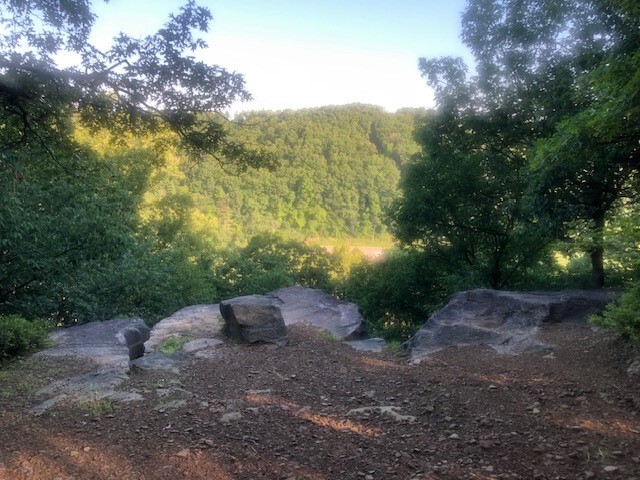
- Following the trial marker for Pioneer Point, the overlook will at 0.6 miles.
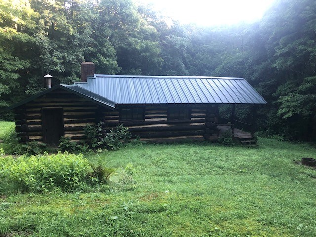
- Continue on the MTB Pioneer Point trail, Troop Cabin # 5 will be to the right at 1.5 mile.
- Continue on the MTB Pioneer Point trail to catch the connect bridge the ZVT at around mile 1.7.
- Take a left on to the ZVT (old rail bed).
- Run the rail bed past the Dover Dam and make a left turn into the woods on the Buckeye Trail at 3 miles.
- The Buckeye Trail will take you up the ridge, into the power line field, back into the woods and then back out to the power line field at a trail junction around mile 3.7.
- There you will pick up the MTB Wall Trail the left just as you enter the woods on the other side of the power line field.
- The Wall will be at 4.1 miles and just past it with a quick right then left turn up the small hill you will find the Zoarite Mine trail.
- After leaving the Zoarite Mine trail at 4.3 miles, two quick left turns will take you on the Horse Wall Trail.
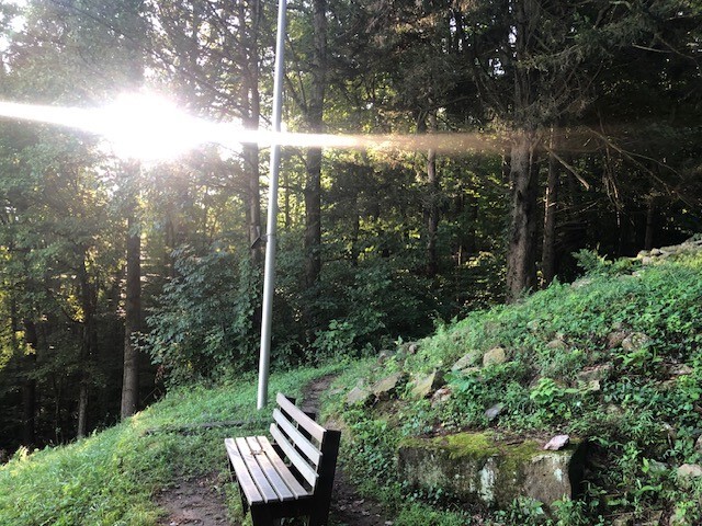
- Follow the Horse Wall trail to the Roost at 4.7 miles.
- From the Roost, a 180 degree turn will lead you to Icky’s Punch hikers trail.
- Follow red blazes of Icky’s Punch trail all the way back to the main camp finishing the route once again at the Stockade..