Los Piches is a summit of the Central Andes, close to Santiago, the Chilean capital. With 4232 m high, it can be considered as a high-altitude objective, without having to serious about acclimatisation.
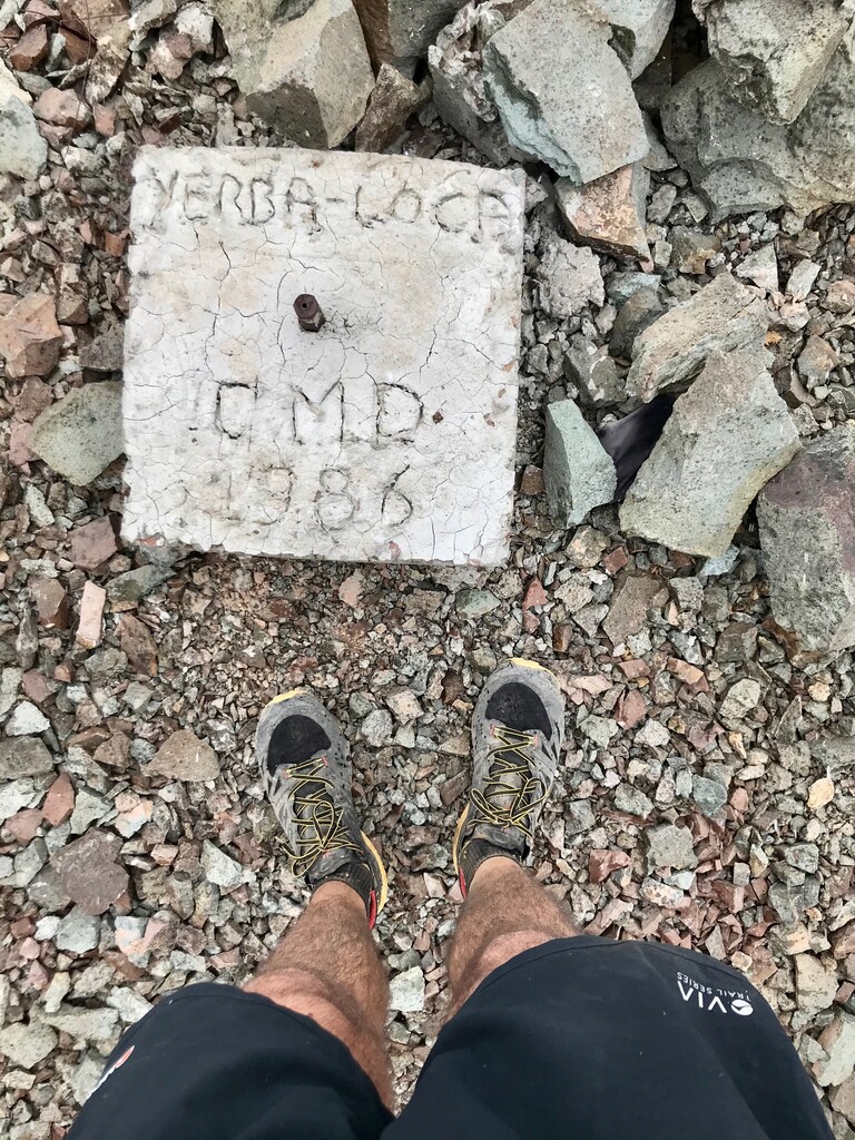
Two routes lead to the summit, the first one from the road leading to the Las Bronces mine, the other one from Yerba Loca, a valley protected by Outlife. From Yerba Loca, the start is more pleasant, easier, and safer to use for your car (no public transportation available). A fee is asked to enter the park, but nothing too crazy from this side. You’ll have access to water stations at the parking lot, as well as the option to camp there.
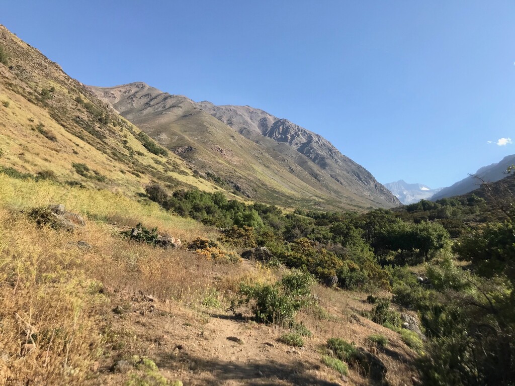
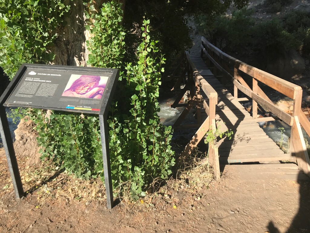
The chrono needs to be started at the bridge crossing the Yerba Loca River, where there is a post sign (so before passing the bridge). Then follow the sign leading to Cerro Manchon, a summit halfway on the route. Signpost quickly disappeared, replaced first by poles and then by cairns. The path is not that evident on the last part before Cerro Manchon, so be sure to have the GPX at hand to avoid losing too much time. General direction is always straightforward but it’s definitely mountain ground, with loose rocks slowing you down.
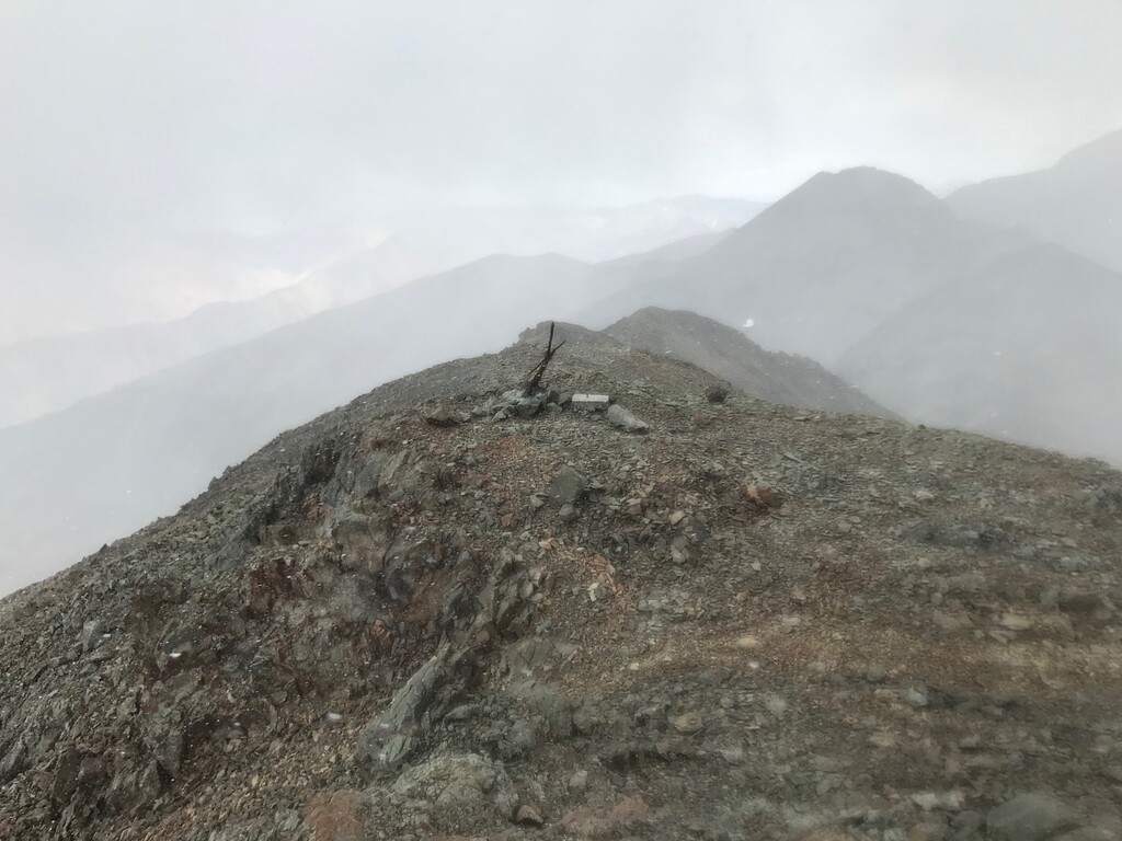
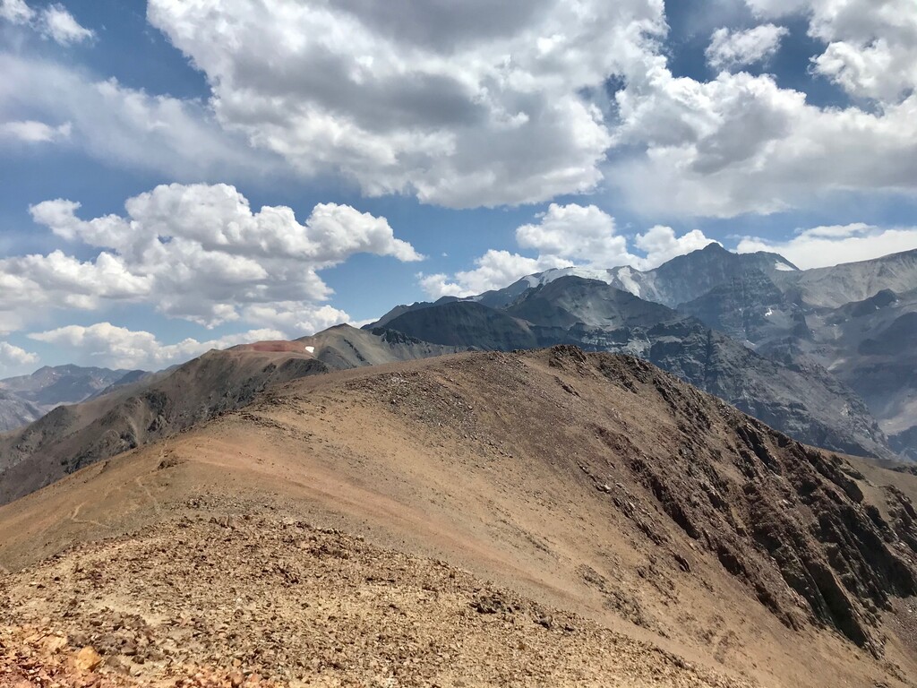
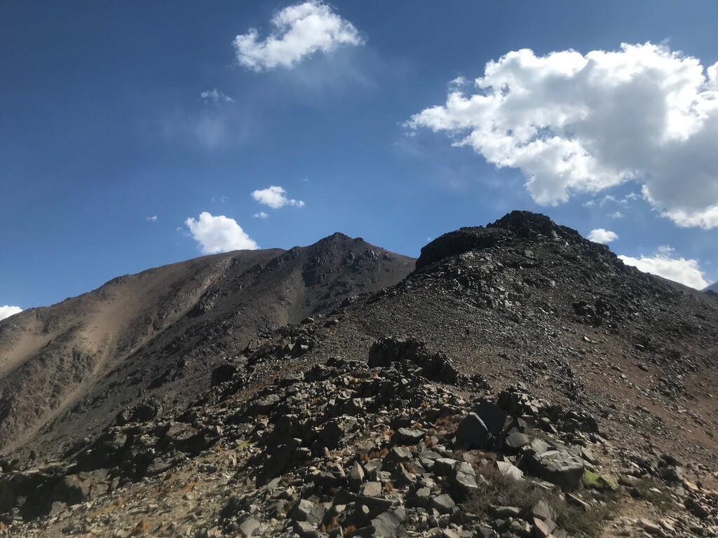
At Cerro Manchon, you’ll for the first see your objective, a dark summit along the ridge in front of you. There is a faint trail showing the general direction. The section between Manchon and Los Piches is the most fun to travel. You’ll though have to pass an intermediate summit. Be careful when reaching this one, as there is a tricky part where you’ll have to put hands on the floor, and a fall could lead to disaster. Finally, there is an awful climb leading to the summit, nothing technical but full of loose rocks.
The way back is the same as the way in. Chrono needs to be stopped at the same bridge.