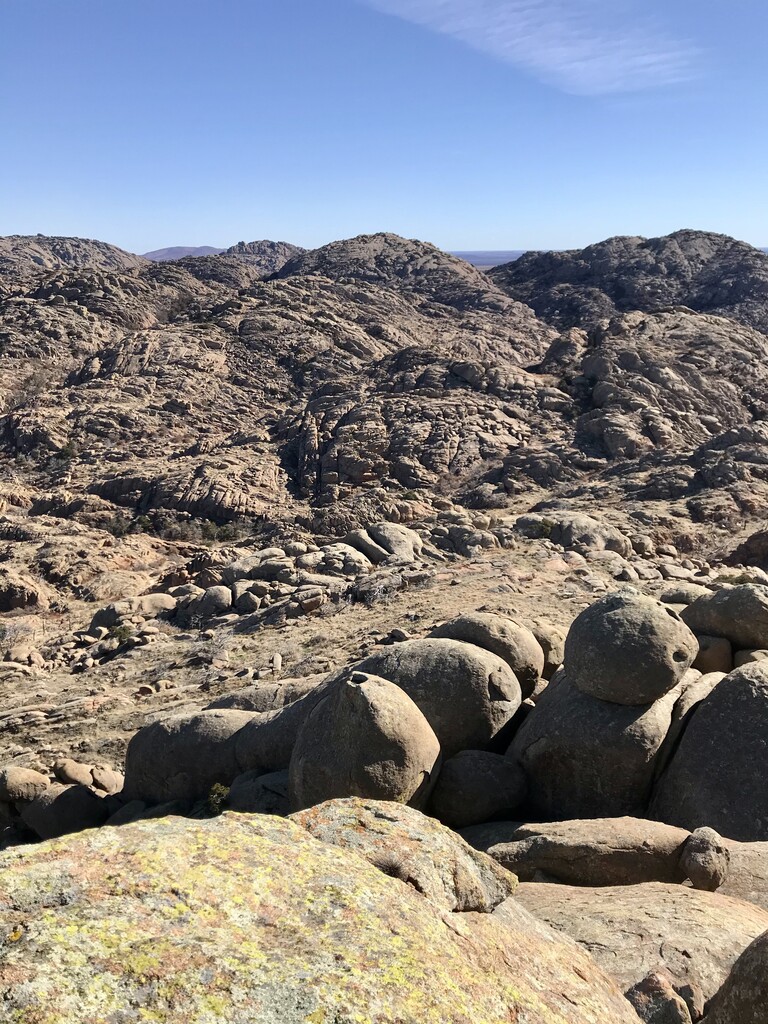
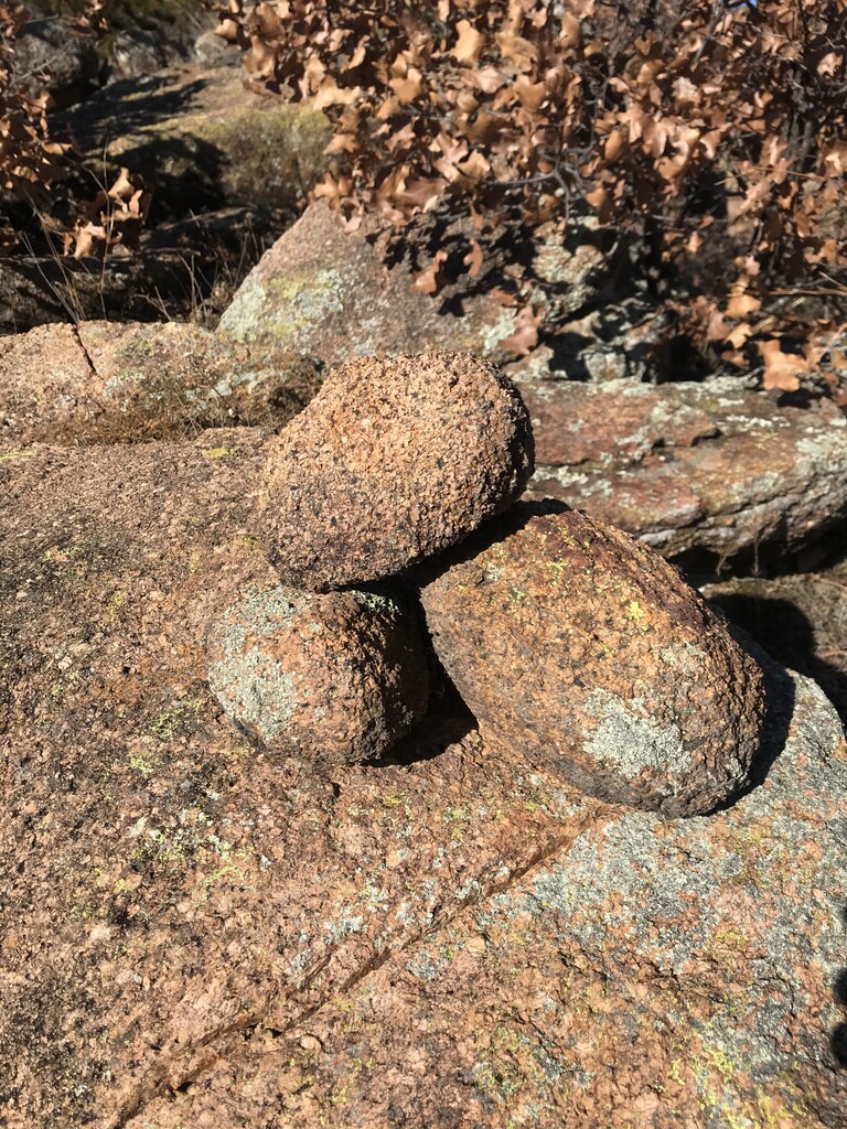
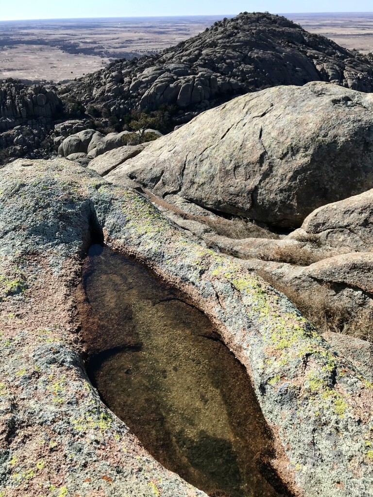
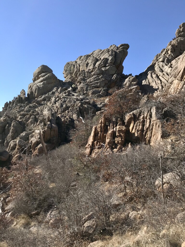
Charons Garden is still a little known gem in the Wichita Mountains of Oklahoma. This epic loop route encompasses class III+ scrambling and backcountry route-finding to summit the "big 6" (tallest named 2,000' peaks) within the wilderness area. It is one of Oklahoma's best challenges! With 4,000' of elevation gain and over 11 miles of mixed terrain, this route is best done in the winter months to avoid heat, snakes, and overgrowth. Begin at the Sunset Parking Lot in the Wichita Mountains Wildlife Refuge. Ascend the standard trail up Elk Mountain. At the summit take a social trail towards the east side of the Elk - Lincoln saddle. Scramble down a side canyon to the saddle and then switch over to the west side of Lincoln. There is a faint trail here that takes you to a rough, overgrown gully that people use to ascend to the summit. Retrace your steps to the saddle and head down towards the Elk Slabs trail. From Elk Slabs take the trail to Post Oak Falls. Bushwhack west over the ridge and across a creek (H2O) to the beginning of West Horizon Pass. West Horizon goes up a boulder gully to the remnants of a faint trail that runs between Granite and Twin Rocks mountains. It's now very overgrown. I freestyled Granite Peak first, but in retrospect should've done Twin Rocks first via the pass. Right before you get to the saddle of West Horizon Pass there is a great Class III gully to scramble up to the Twin Rock summit. From the summit, head back down and gain the saddle, step onto Granite mountain, and traverse further west ascending easier slabs to the summit. Retrace your steps back to the saddle, hike out of West Horizon Pass and head west over the plateau to Indian Chief Pass. If you know the area, there is faint miner's trail that you can pick up on. The pass is really cool and gets its name from the giant rock formation that looks like a chief's headdress. Once thru you can hike towards the east side of Mt. Mitchell. There's another really good Class III gully to be sure to take which spits you out next to the summit scramble. It is easy to see on a GPS/topo map. After Mitchell, retrace your steps and head north, cross the creek (H20) and ascend to the plateau that takes you to Sunset Peak. Head towards the slabs to the right of the southern summit. These are easy to ascend and get you to a saddle on the side of the southern summit (the tallest of the 3 peak massif). Take the saddle around to the backside of the summit for an easy scramble up. Once back down, hike back over the plateau towards Crabeyes and Lost Dome. Meet back up with the established backcountry trail, which takes you all the way back to the Sunset Parking Lot. Loop complete!